Traveling to Sheng-Keng on feet
2022-03-21
This is the manual English translation of a Chinese article. Feel free to point out any oddities to me. The original article can be found here.
Table of Contents
Long long time ago, one of my dear seniors brought me to various places. We had fun traveling.
One time, we went to a beatutiful Coffee shop at Sheng-Keng: Arc Café.
I was immediately shocked by the gorgeous scene through those huge floor-to-ceiling windows. It might be the first time I had ever seen such a beautiful Coffee shop. After that, we went there two or three times more. We both enjoyed the experience there.
Afterwards, I started to get into the habit of travelling around on my feet. And I came up with the idea of going to Sheng-Keng on feet. This article serves to record the process of walking there, after three attmpts. Also the photos I took randomly during the trips are shared here.
The first attmpt
I used to have a terrible sense of direction, so I had to rely on GPS maps to go so far.
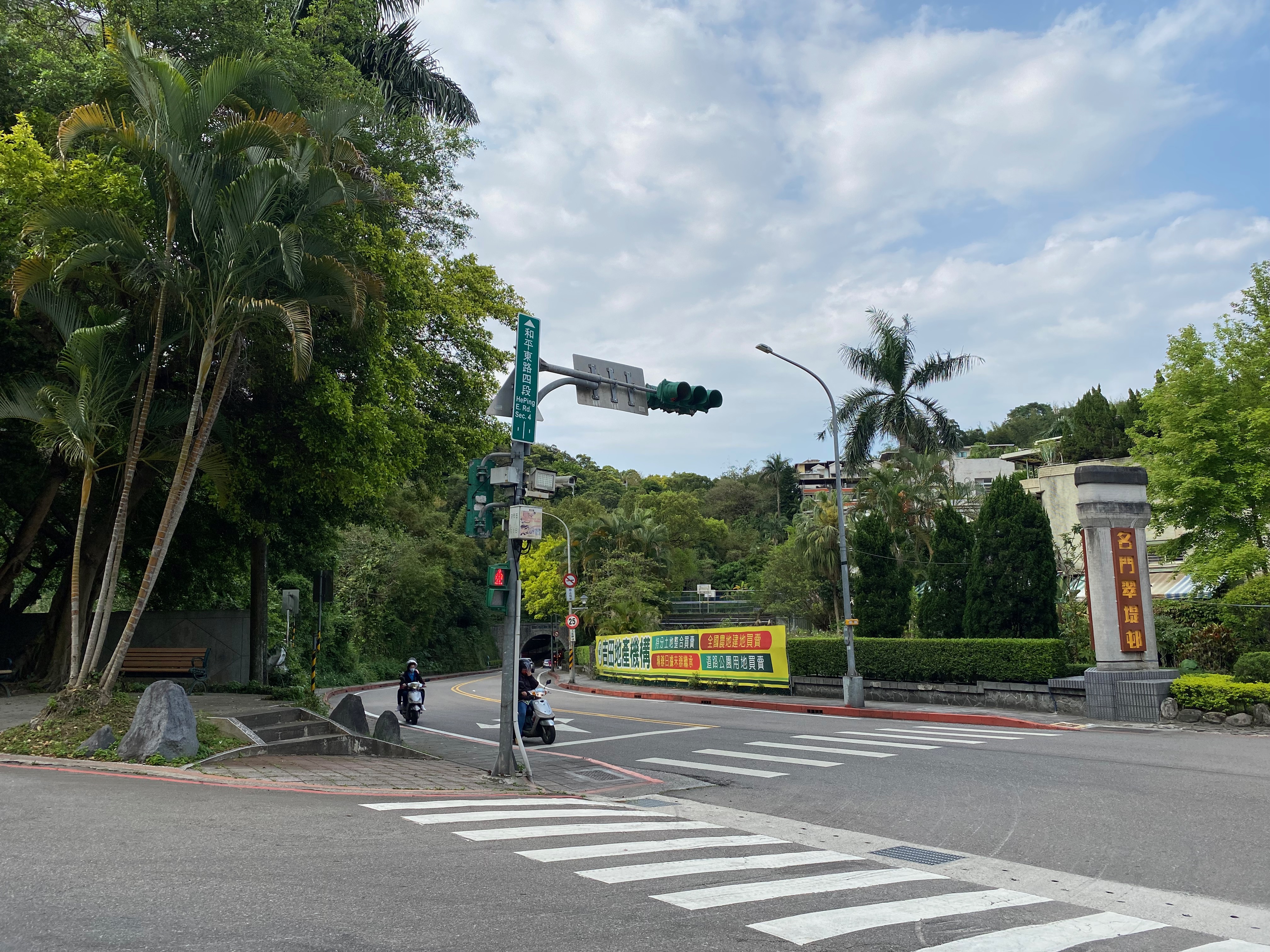
Fortunately the routes in the beginning are quite simple: follow the Xin-Hai road towards the direction of Xin-Hai tunnels.
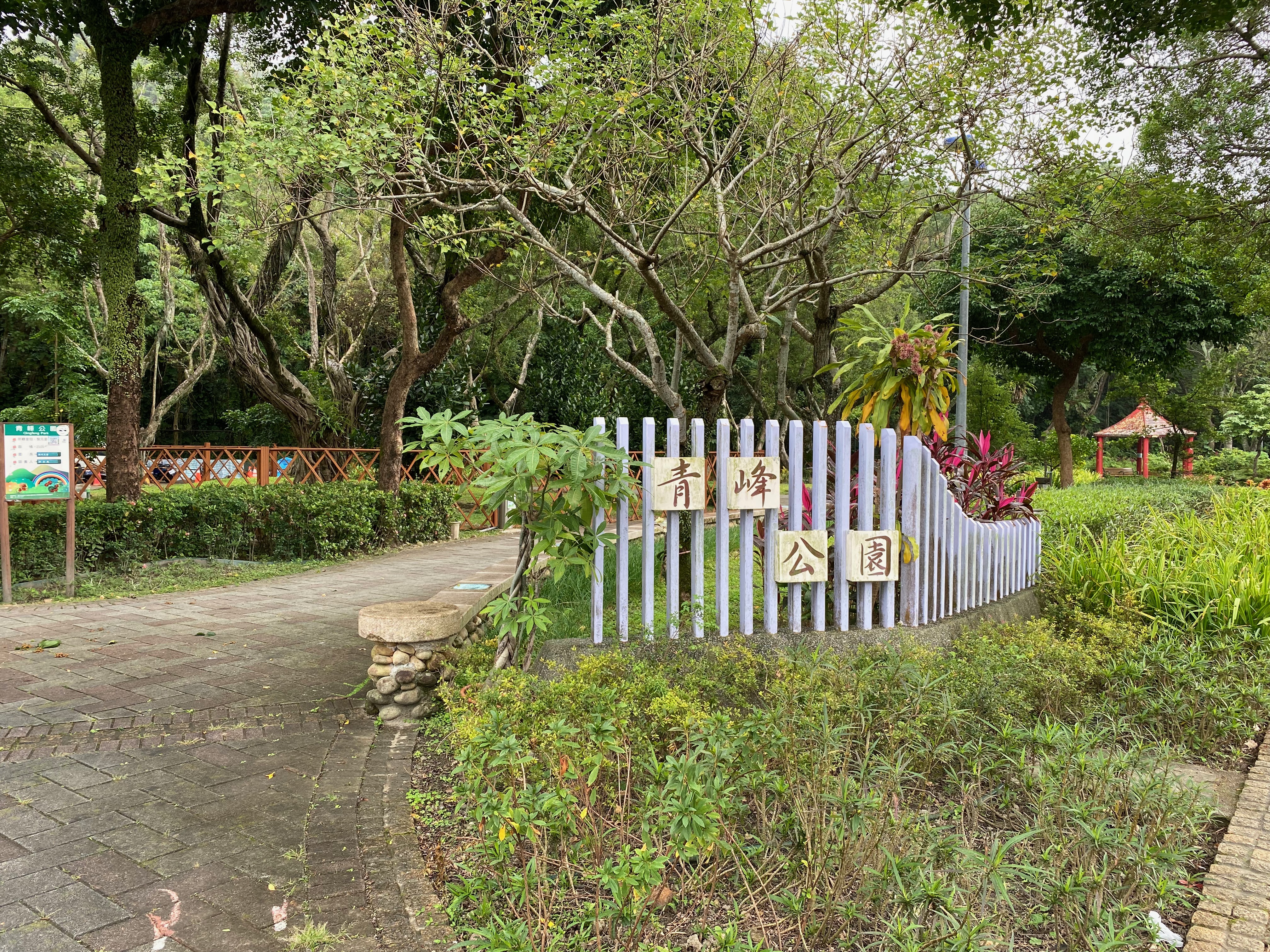
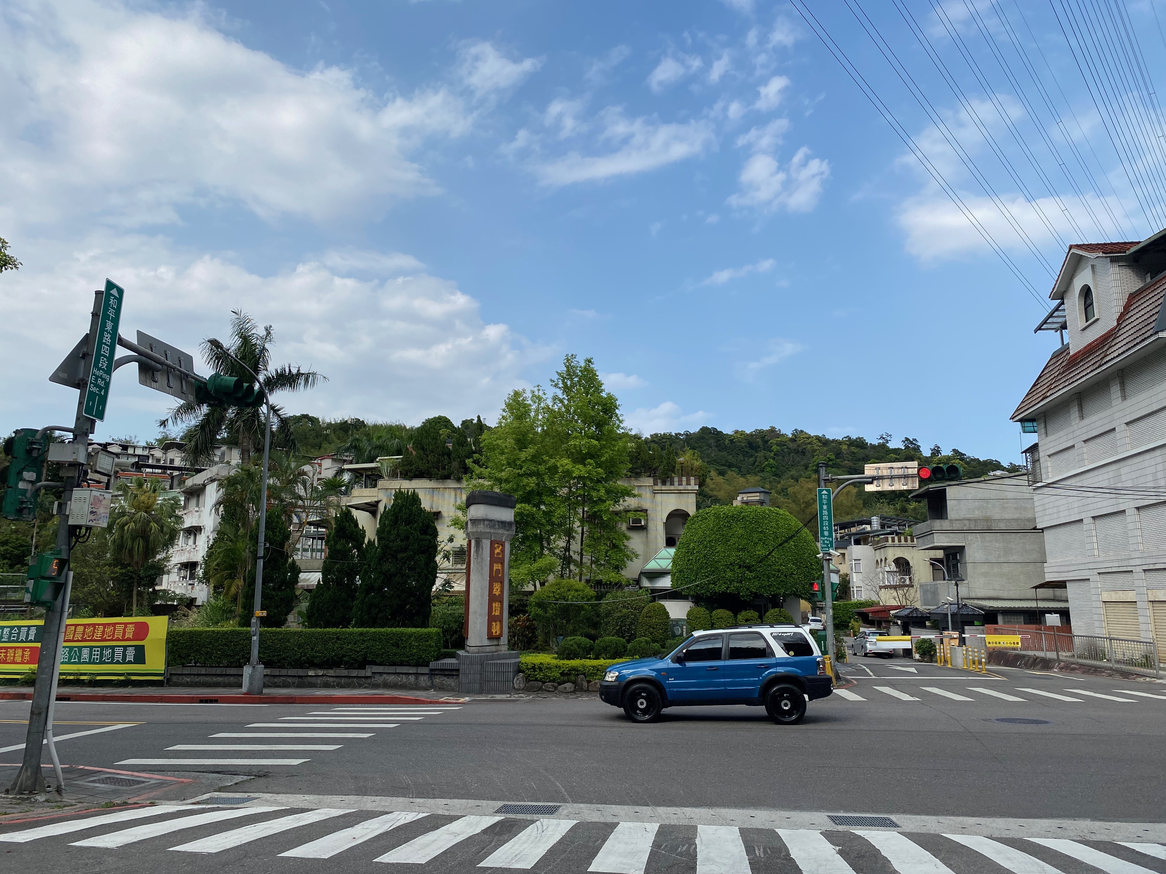
First I passed by the park of Qing-Feng. It is near the university (NTU), but I hadn't been there before. It is a novel experience. :D
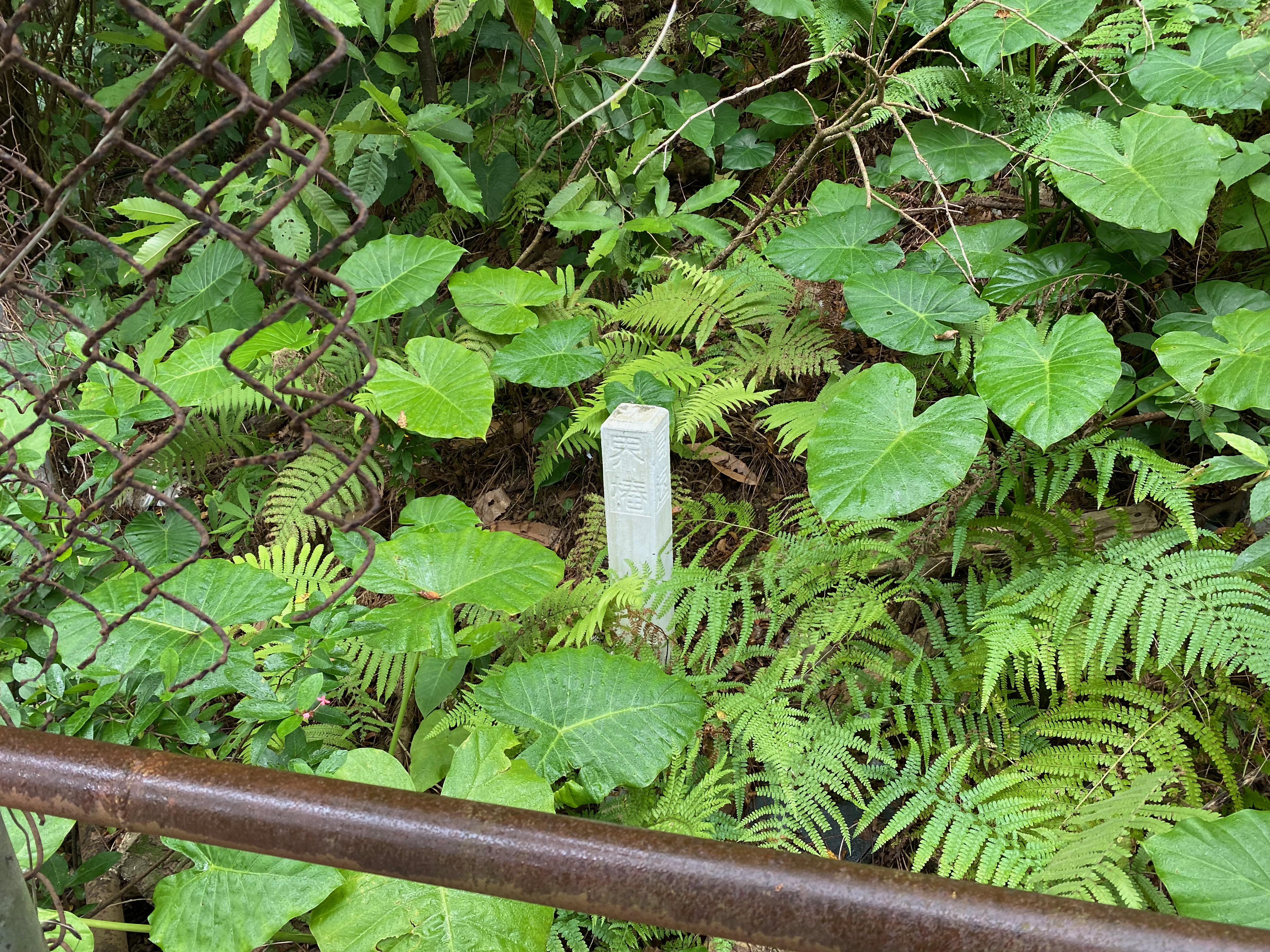
And there is a boundary marker here, for some reason.
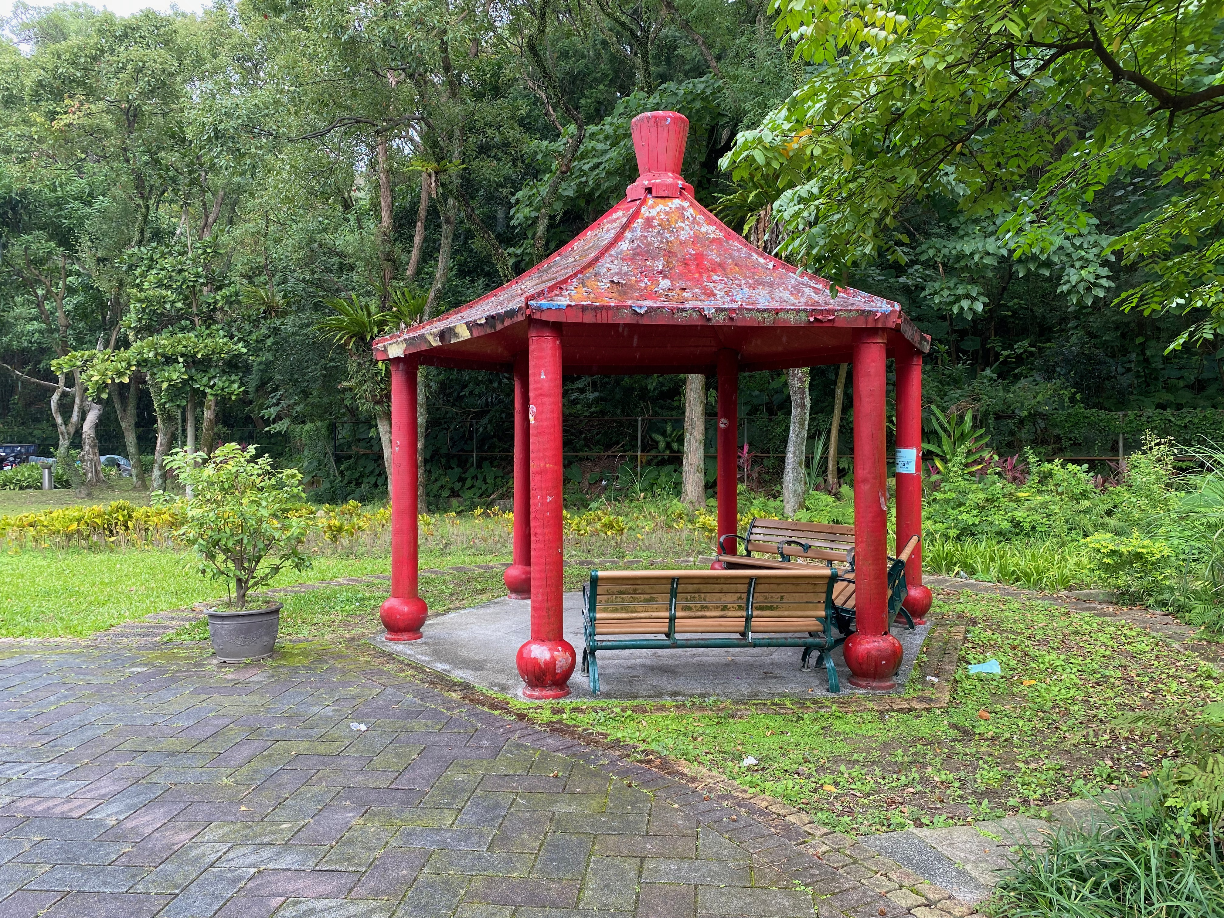
It is one of the joys of travelling around to take a photo when one sees something interesting, right?
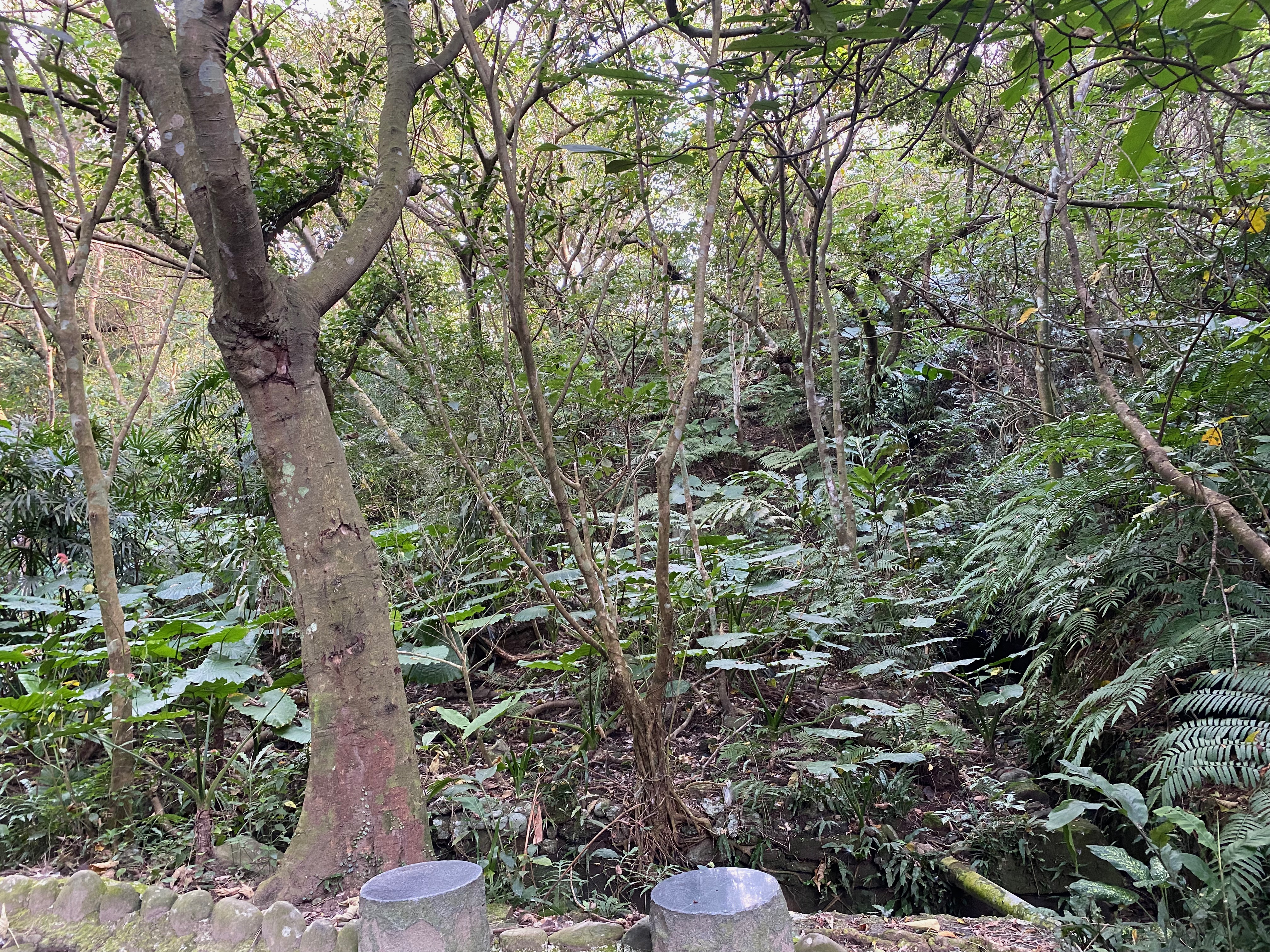
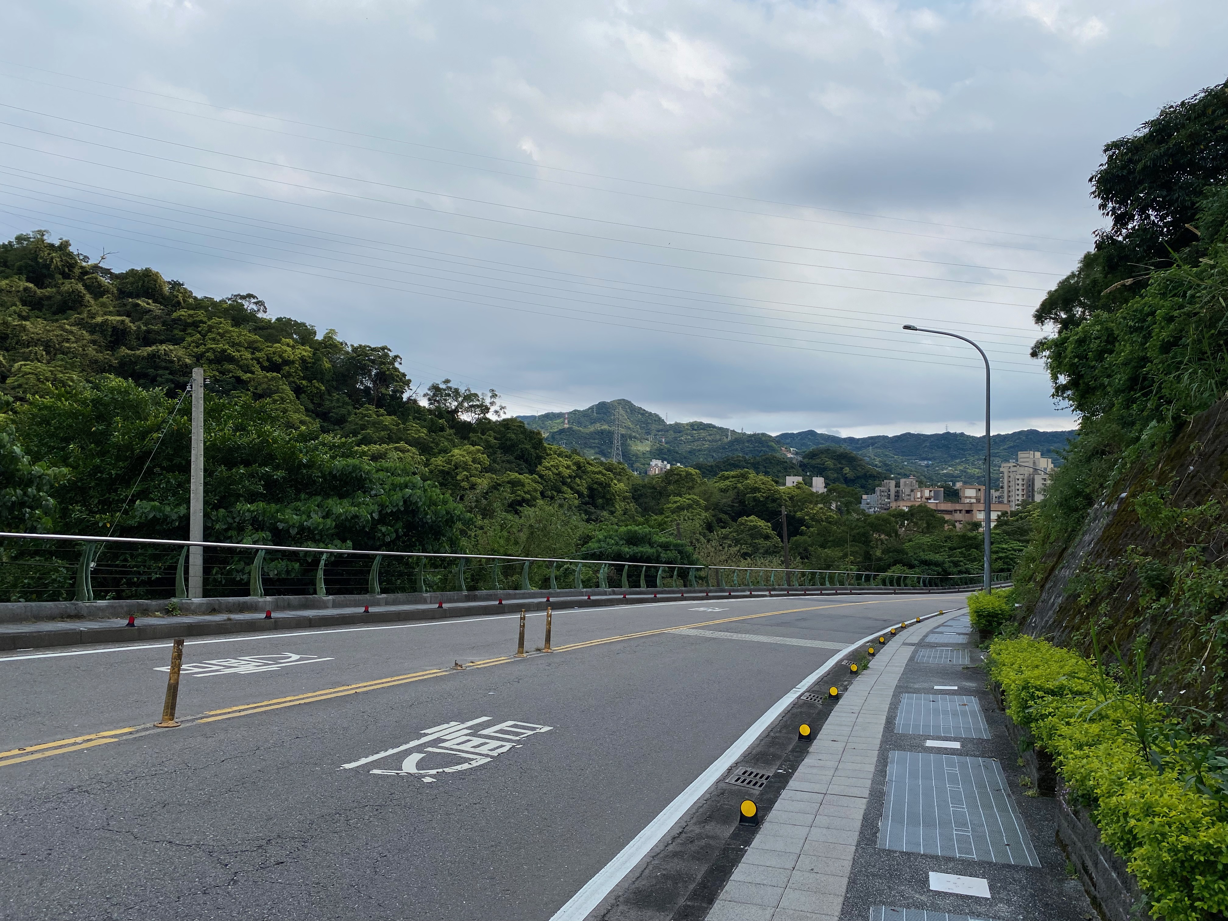
I studied the route on the road. It seemed that I had to walk through a mountain.
It had been a long time since the last time I climbed a mountain. Quite exciting!
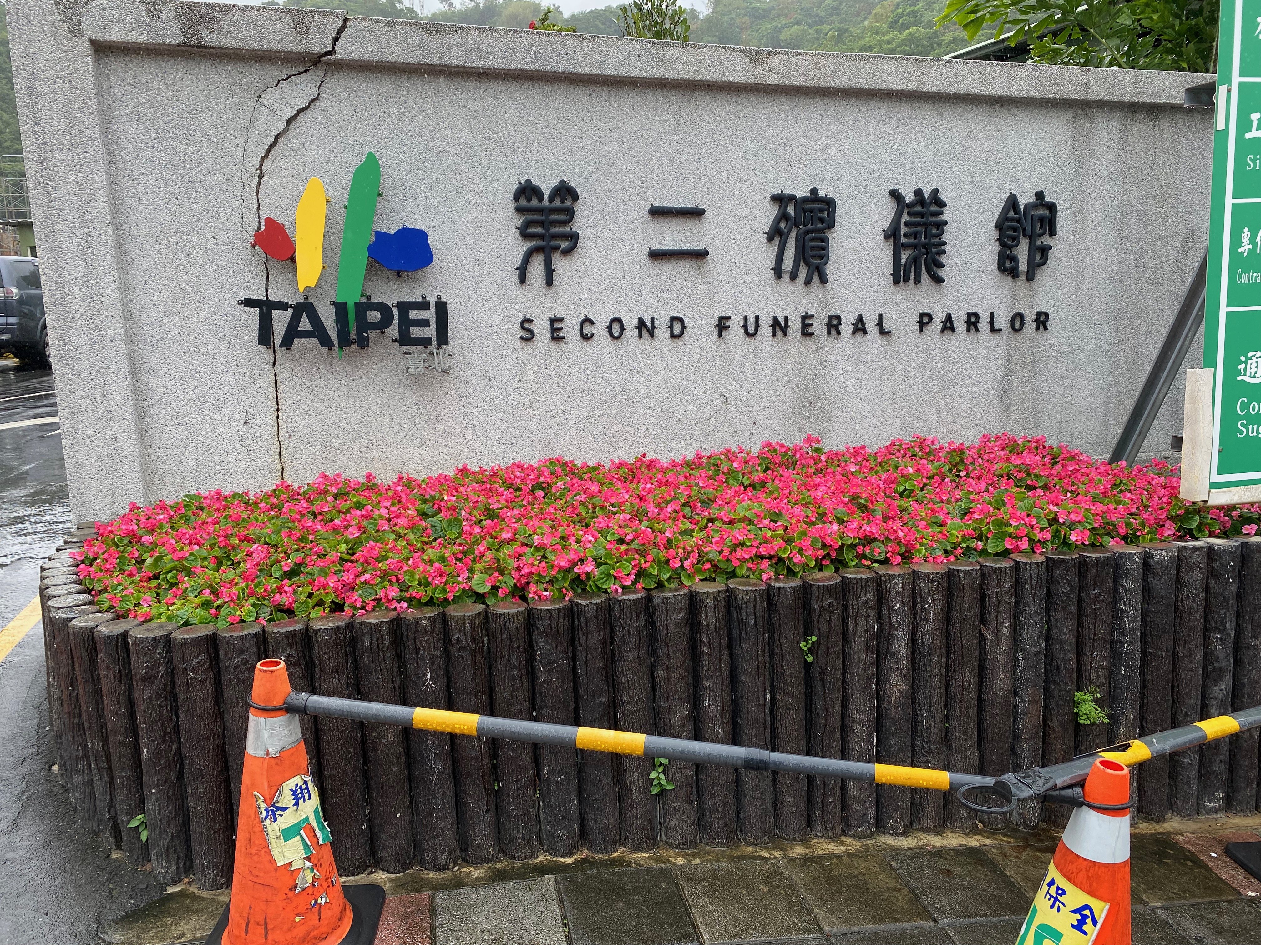
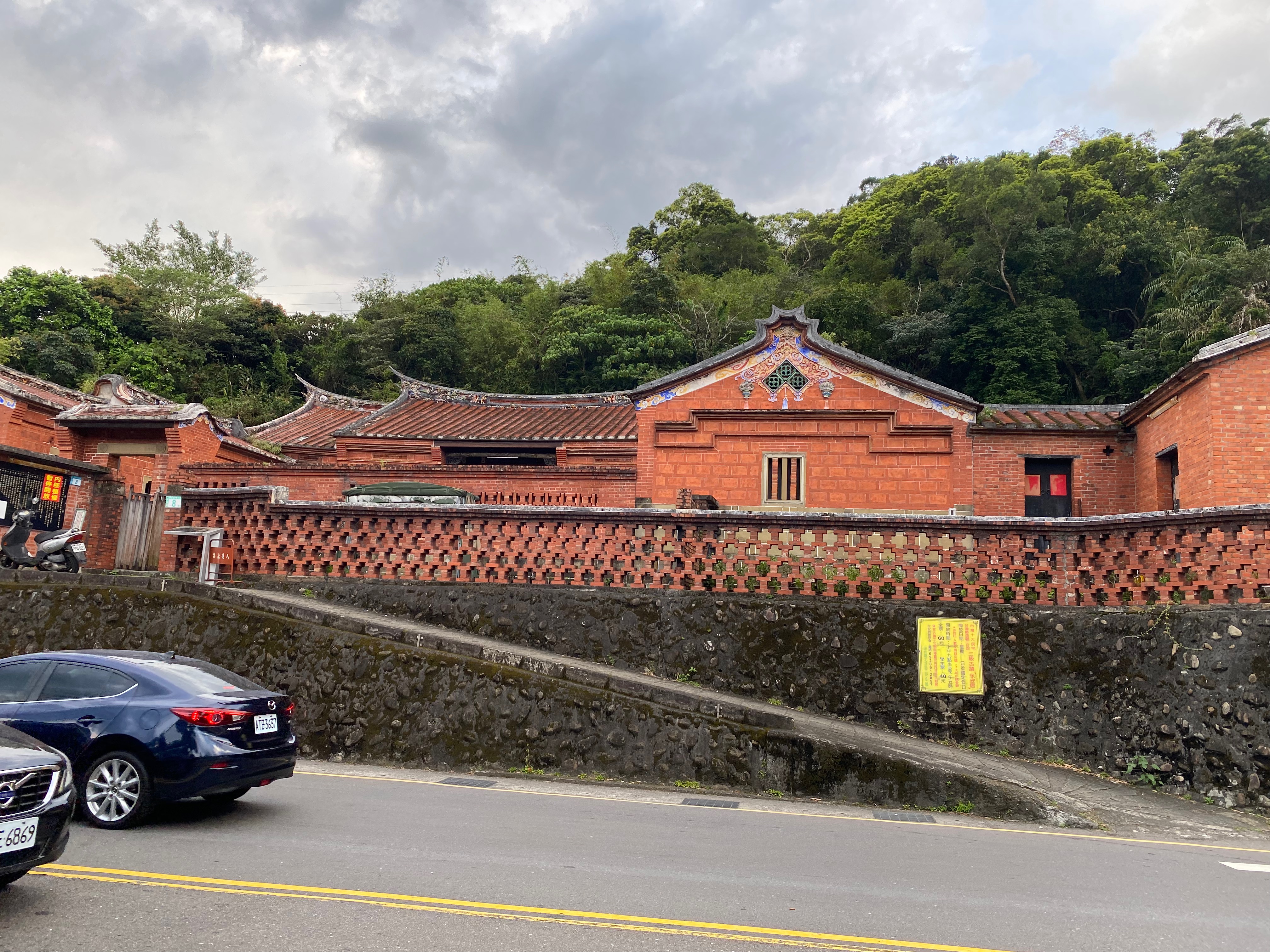
When I looked at the map while walking, I thought I should turn right. But that direction was blocked and I could not pass. So I found another way around a highway. I found a funeral parlor, but still found no way through.
I looked around for a while, just to realize that there were always cars passing through this road. And there was no moment that allowed me to get through. So, after walking around the funeral parlor for some time, I returned. I planned to resume the journey after the block was removed.
The second attmpt
After some months, I thought it was the time to restart again. So I began the journey once again.
All the way back to where I returned, the block was still there. It lasted for so long!
But, this time, I thought that I did not yet arrive at the end of this road, so why not just go ahead and see what will happen? From my perspective, it seemed that I would just walk to the Xin-Hai tunnel, without a way through. But I still wanted to try. If there was really no way, I could still take a photo, as a souvenir or something I guess.
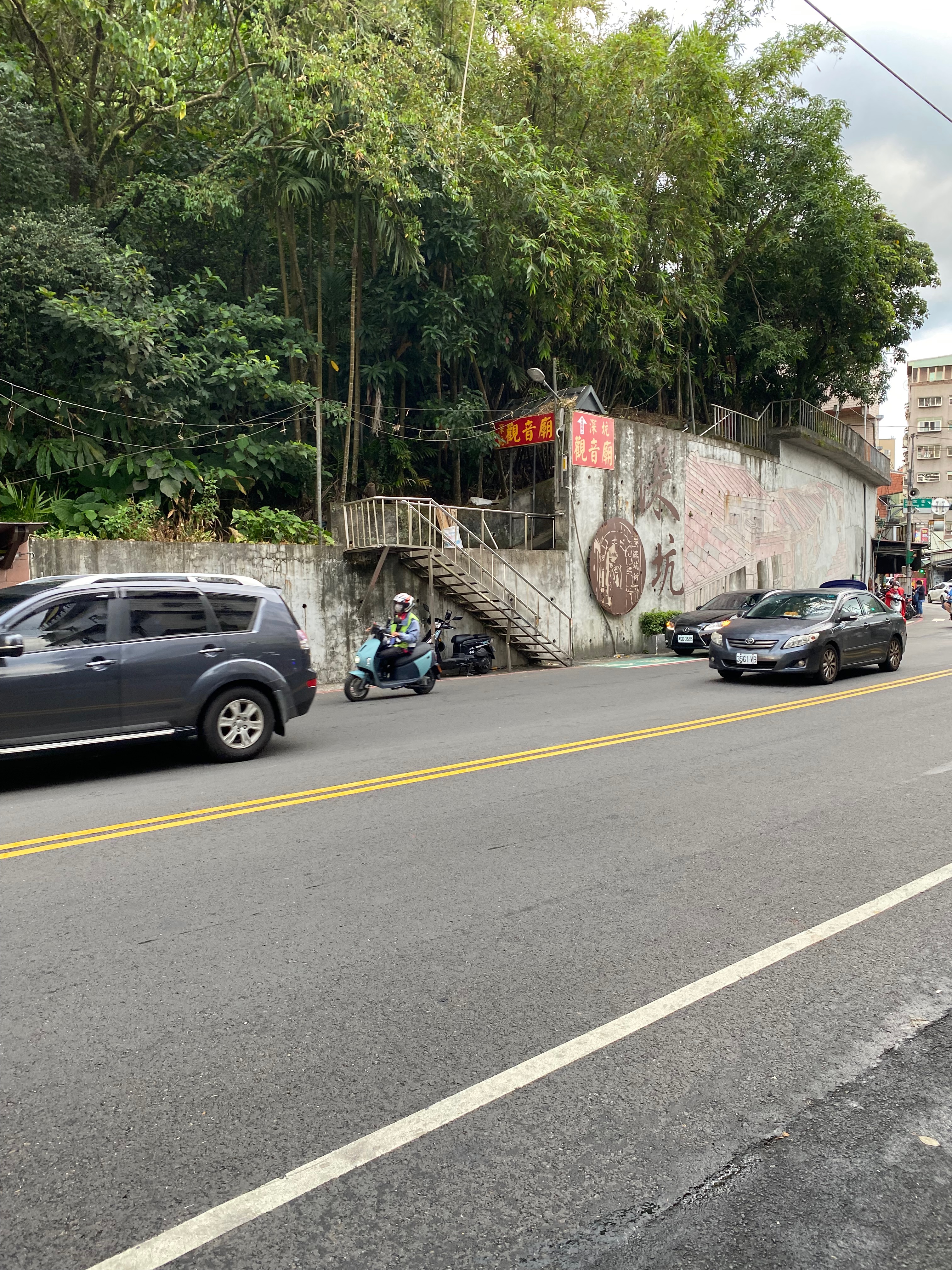
And when I arrived at the end, the entrance of the mountain was finally revealed…
Although it was stupid to miss the entrance the last time, it was quite a joy to finally get in the mountain.
But this mountain showed me that it was a tough mountain, right at the start: there was a very steep slope there, and I was out of breath while climbing.
By the way, I still insisted wearing a mask at this point. I thought that I was healthy enough that it was a piece of cake to climb a mountain while wearing a mask. (Apparently I was not.)
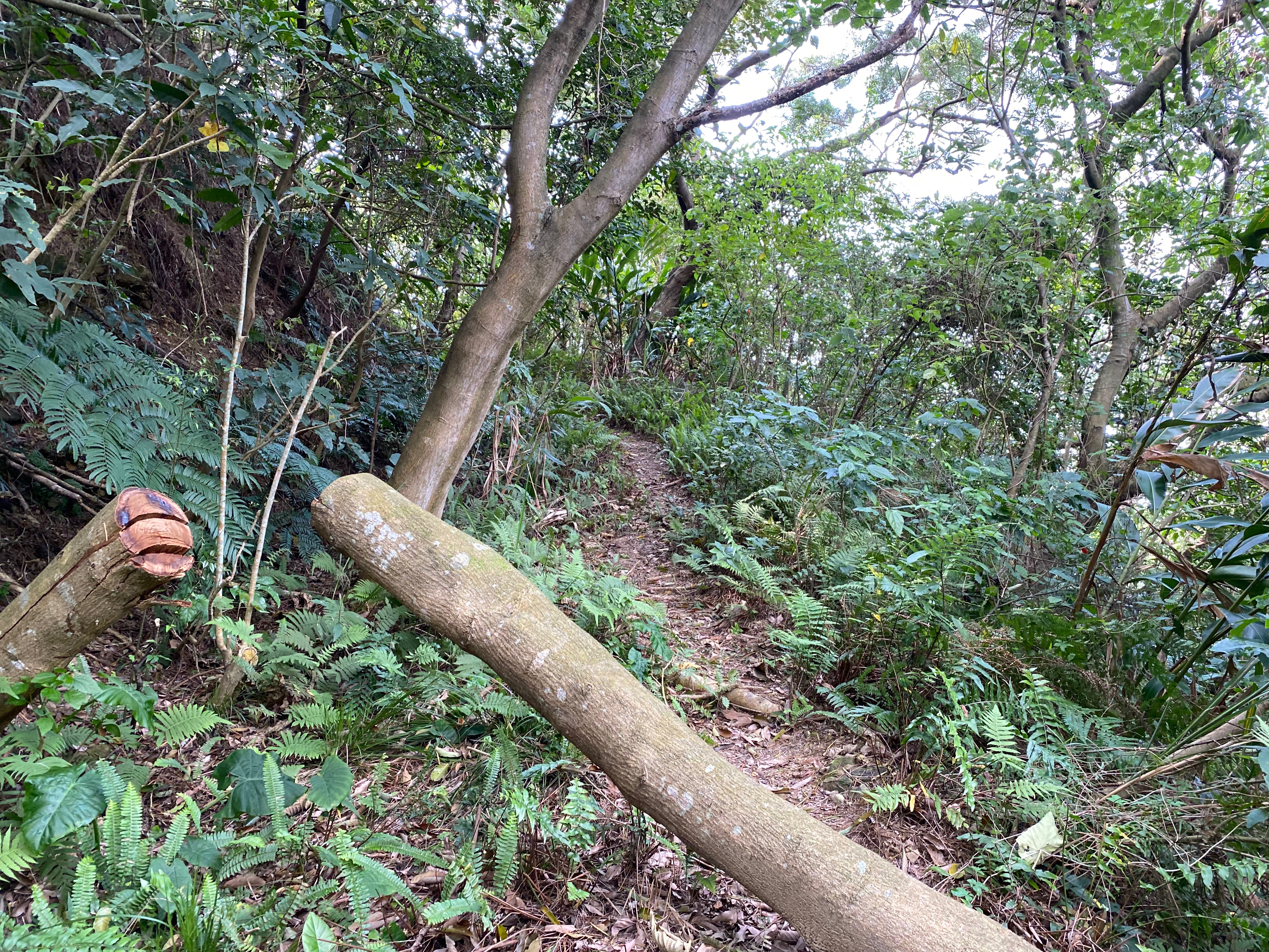
Then the road looked like this. So steep!
I did not know what I was doing. Why did I not walk the nearby steps but instead was huffing and puffing my way up on this steep slope. Fortunately there were almost no one around, so I finally took the mask off.
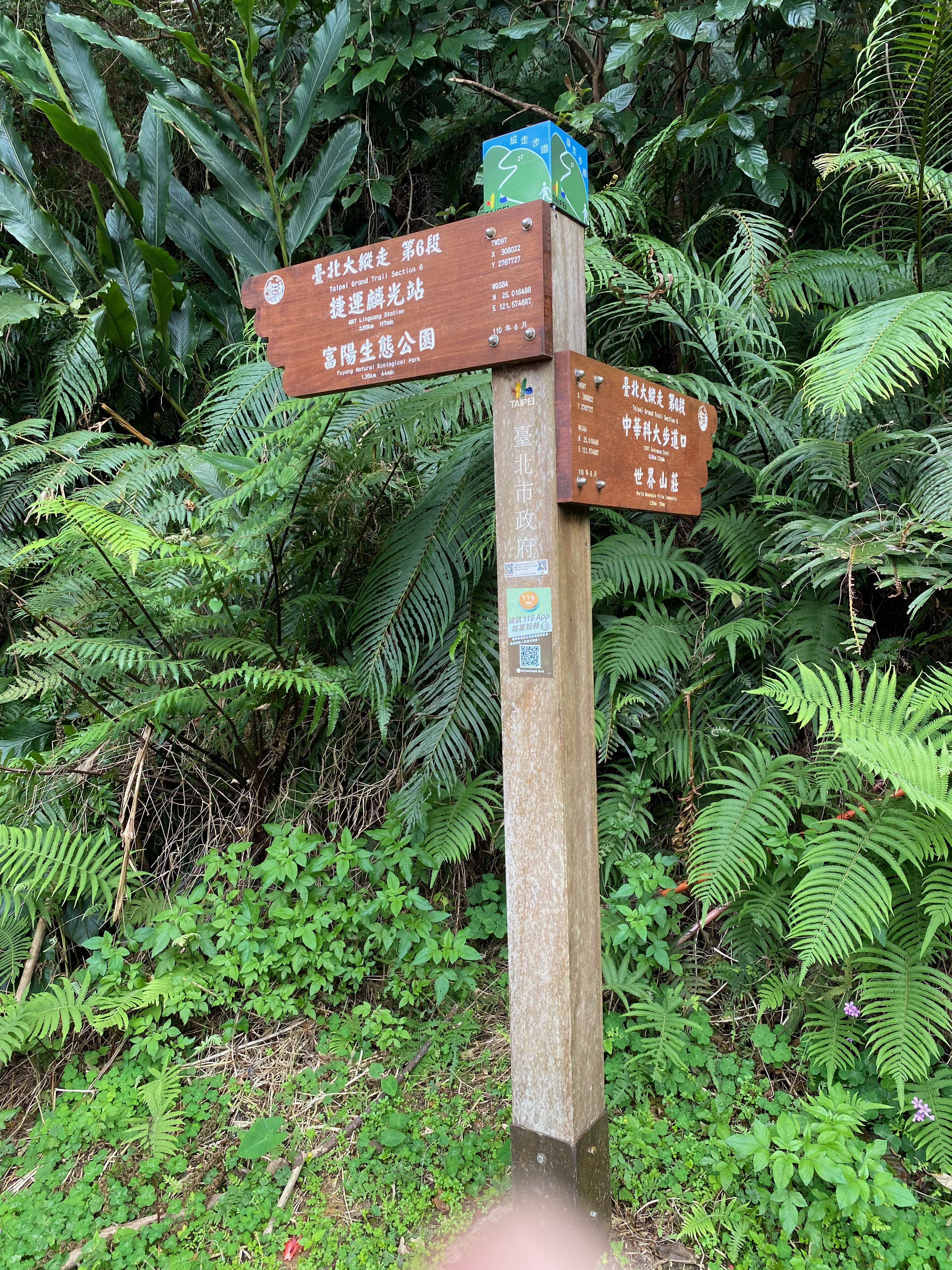
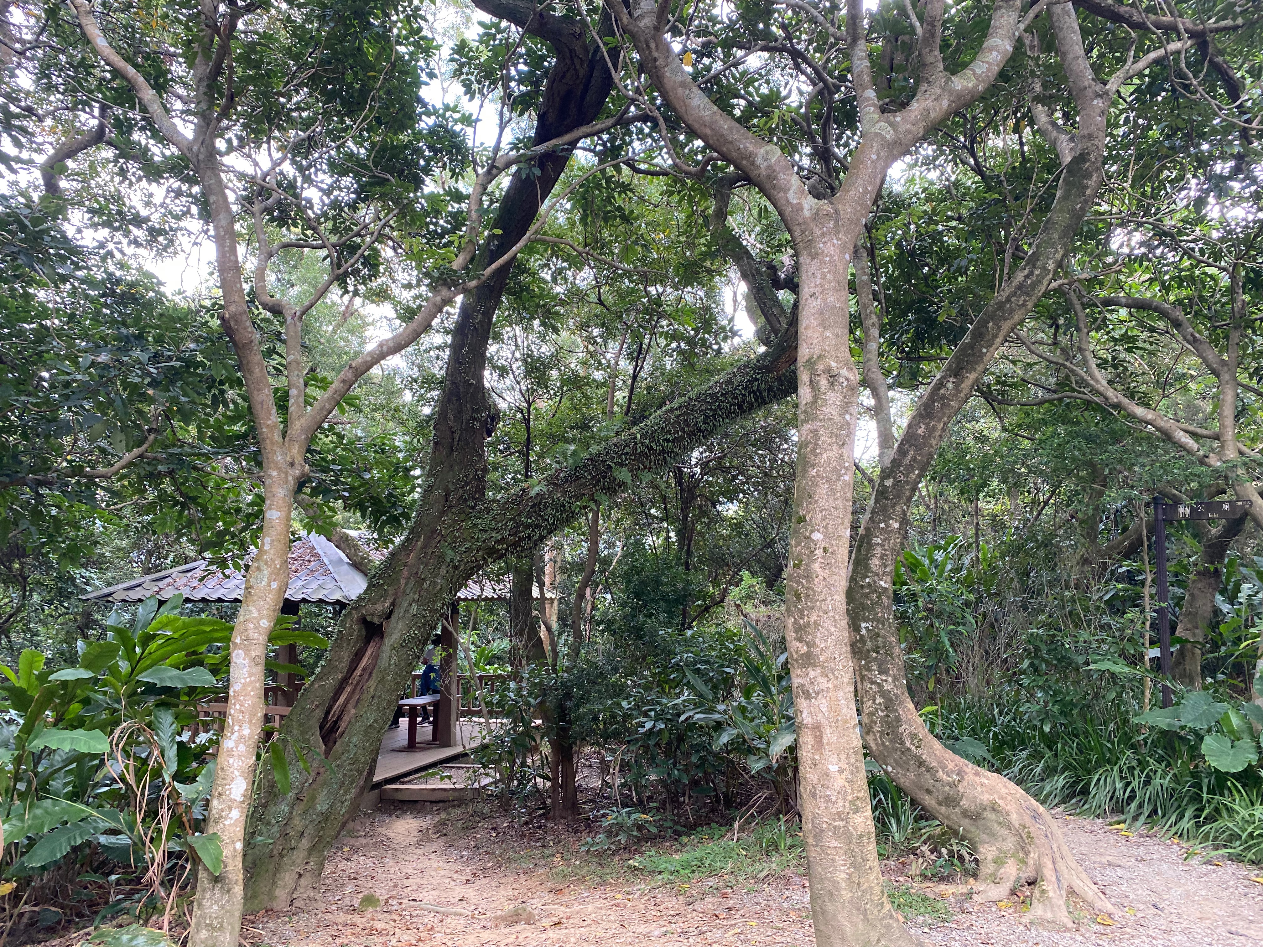
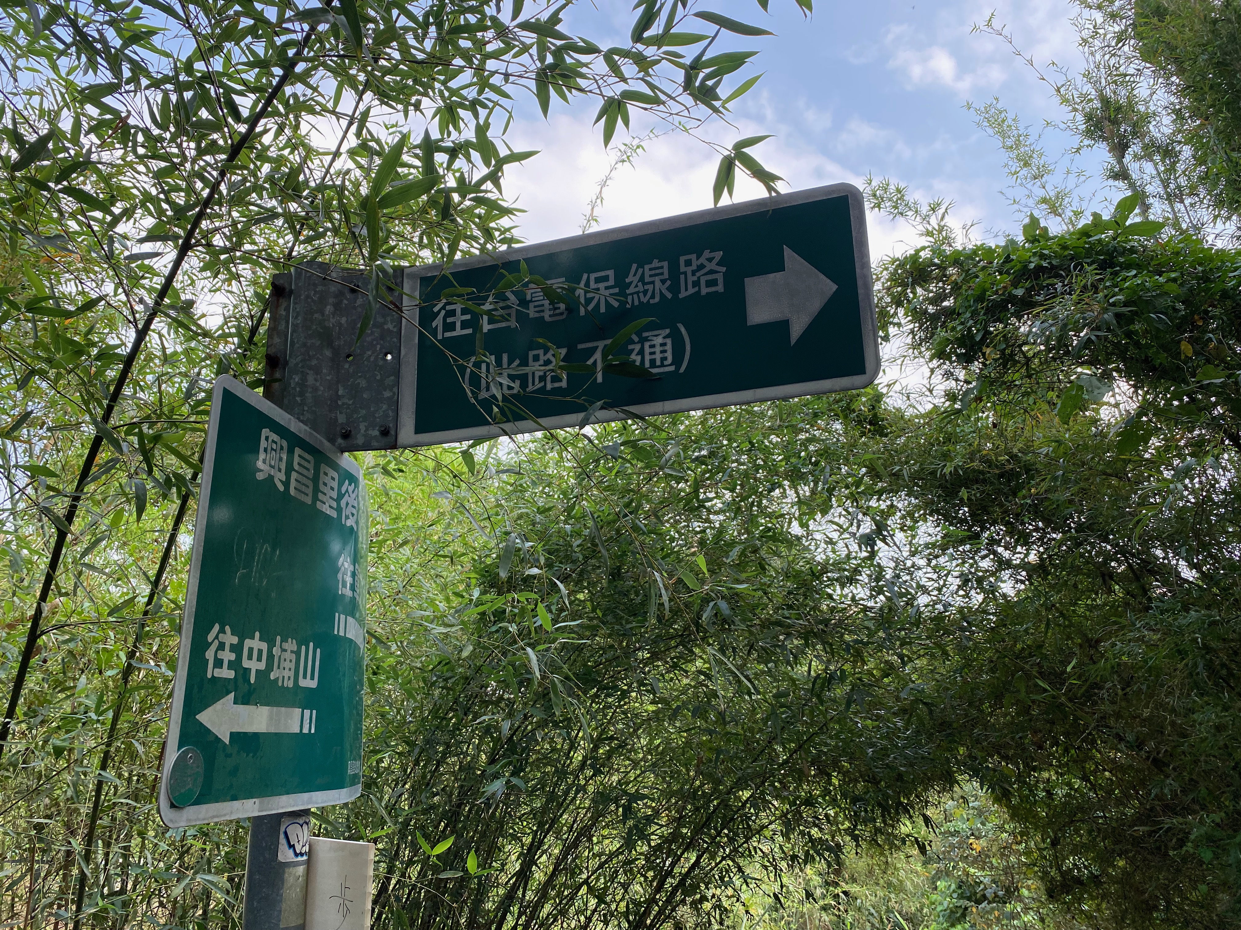
After the slop came a platform. I took a short break. Then I checked the Billboard and compared the routes with my phone map.
The names on the Billboard meant nothing to me at the time, so I just stared at the phone. It seemed that I should turn left. Since the other route looked much more steep, and turning left led to some ecological park, which was quite interesting, I decided to turn left.
By the way, the signals of the phone started to fade away after I entered the mountain, so the phone became less and less reliable.
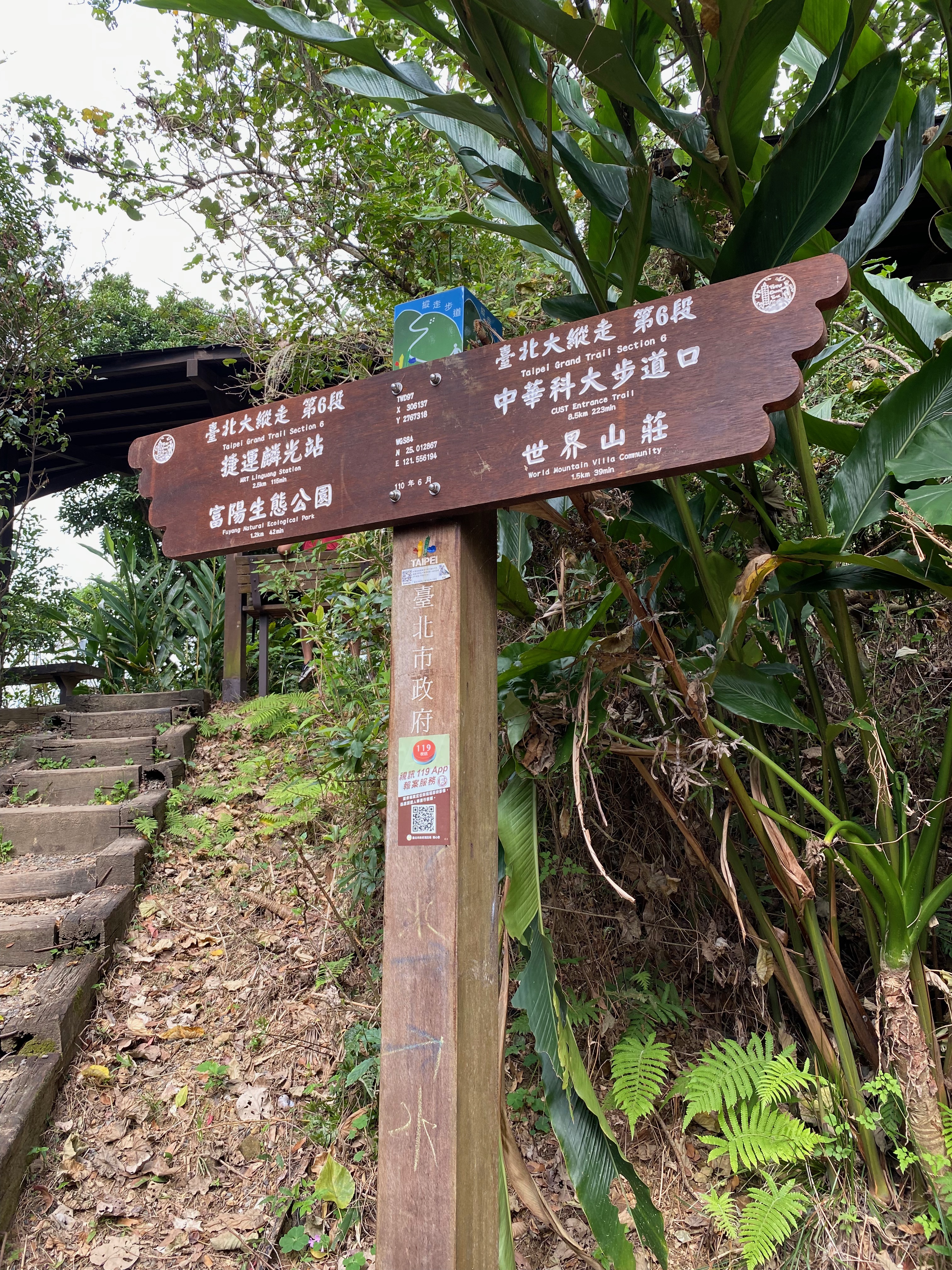
Then another platform and more branchs appeared. So I checked the phone again: it told me to turn right this time. But the map on the Billboard indicated only two routes: turning left or going back.
Though I still tried to turn right, that road became too narrow even for me to stand on it. Moreover the road stopped extending after a while.
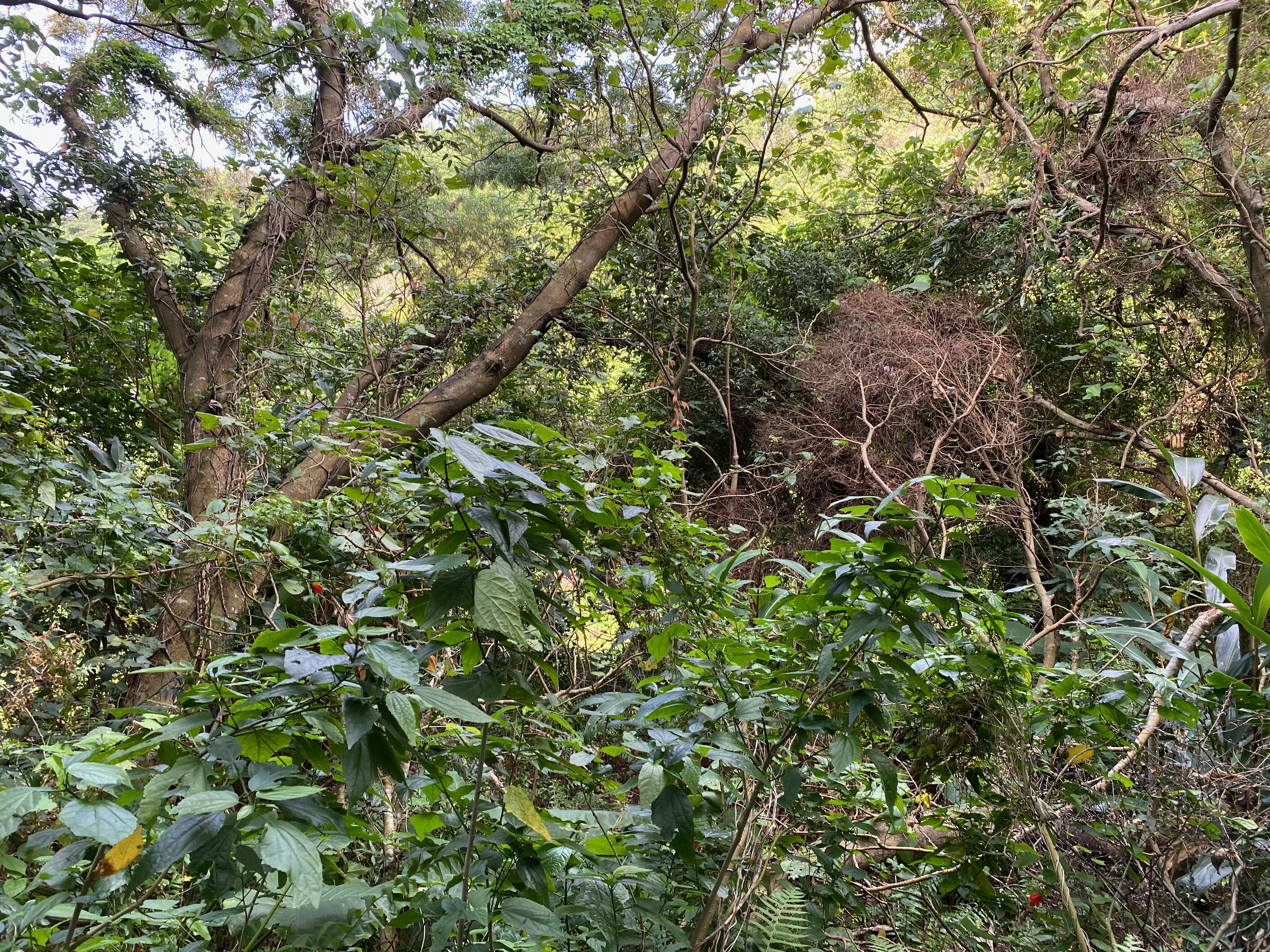
As an aside, there was another fork in the middle of the right route. But that led to some very stiff steps, almost 90 degrees in my impression. I gave up on that road immediately.
At this moment, I did not want to go back anymore. Notwithstanding the wrong route, at least there was some interesting park. It was fun after all. :D
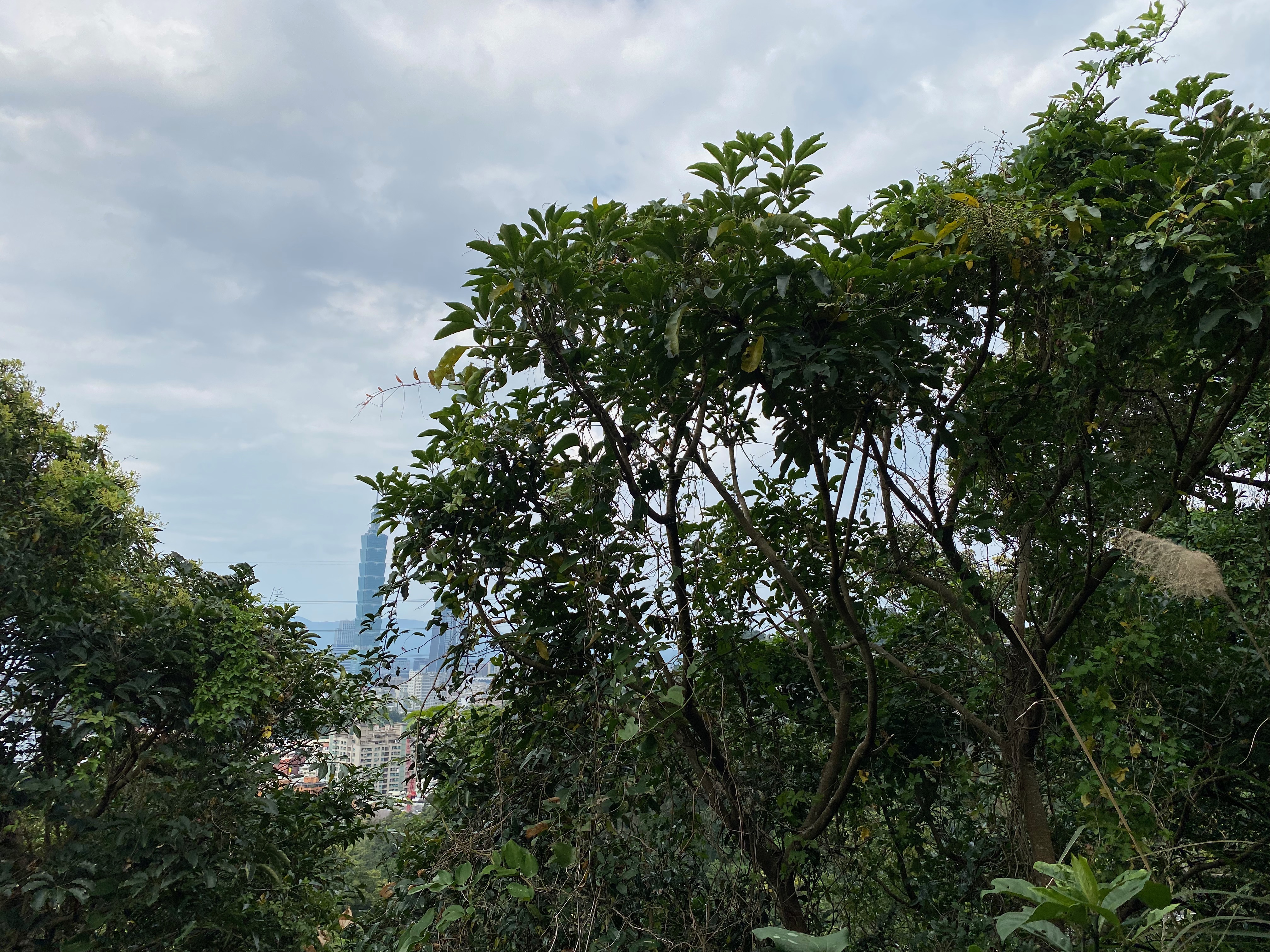
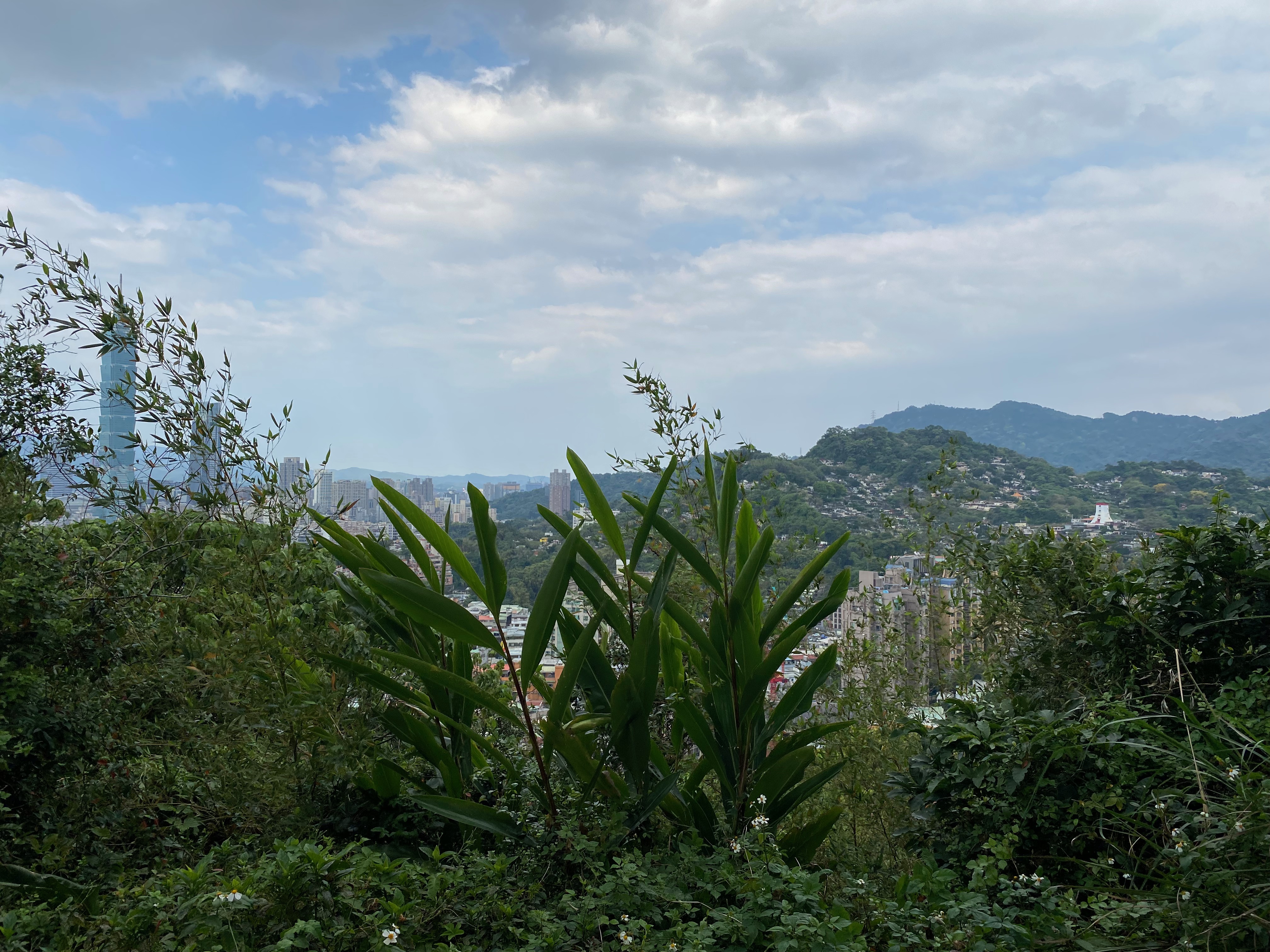
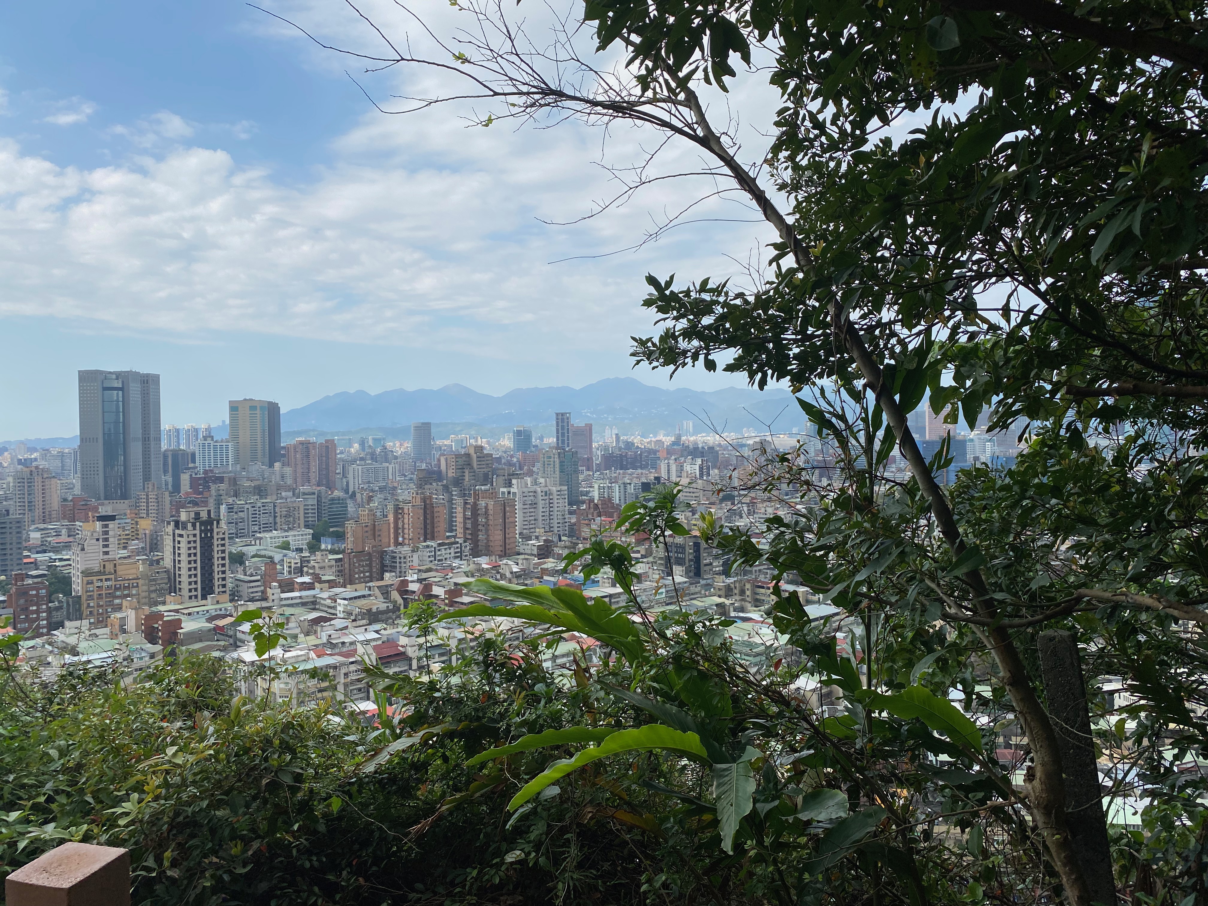
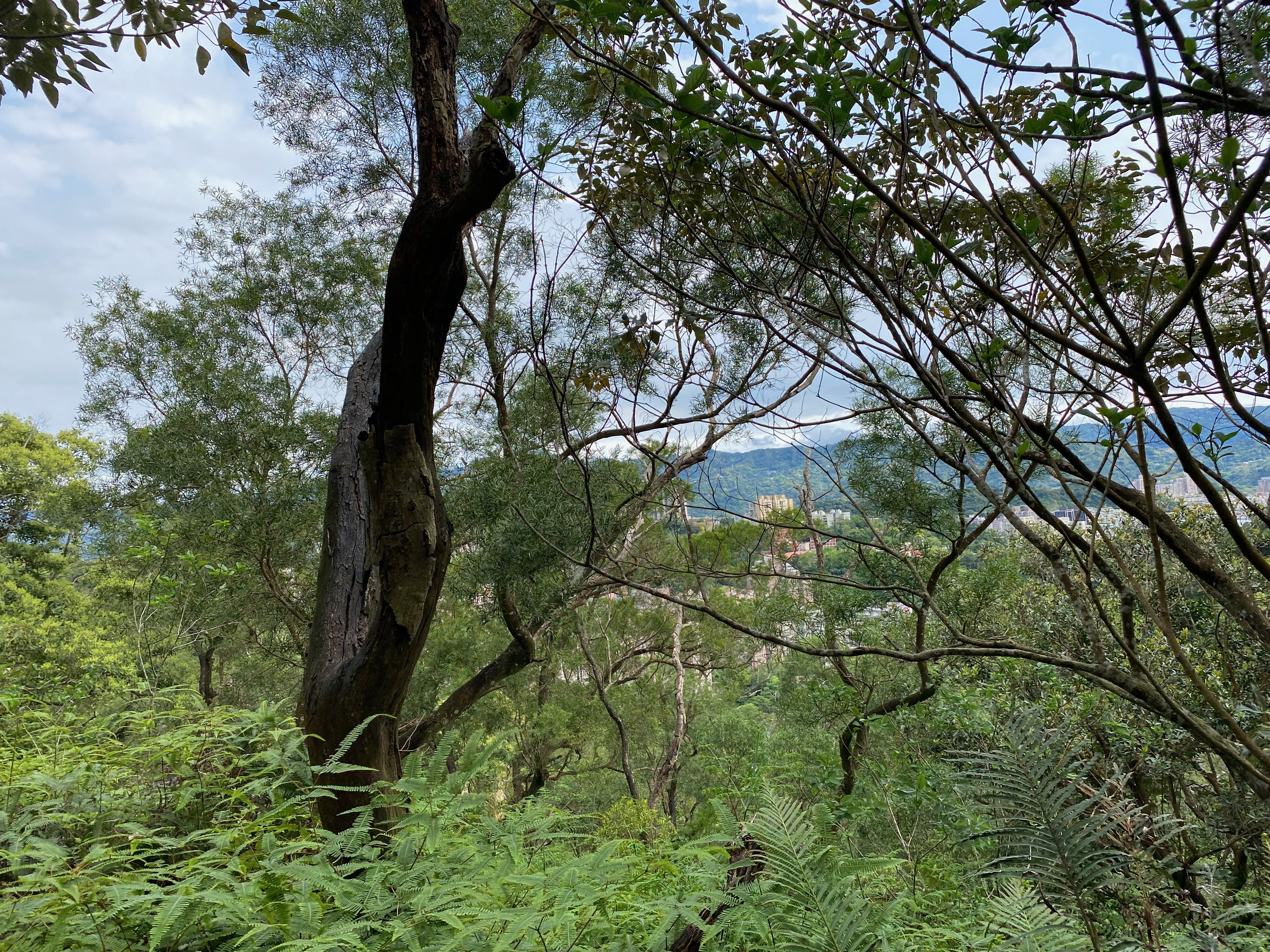
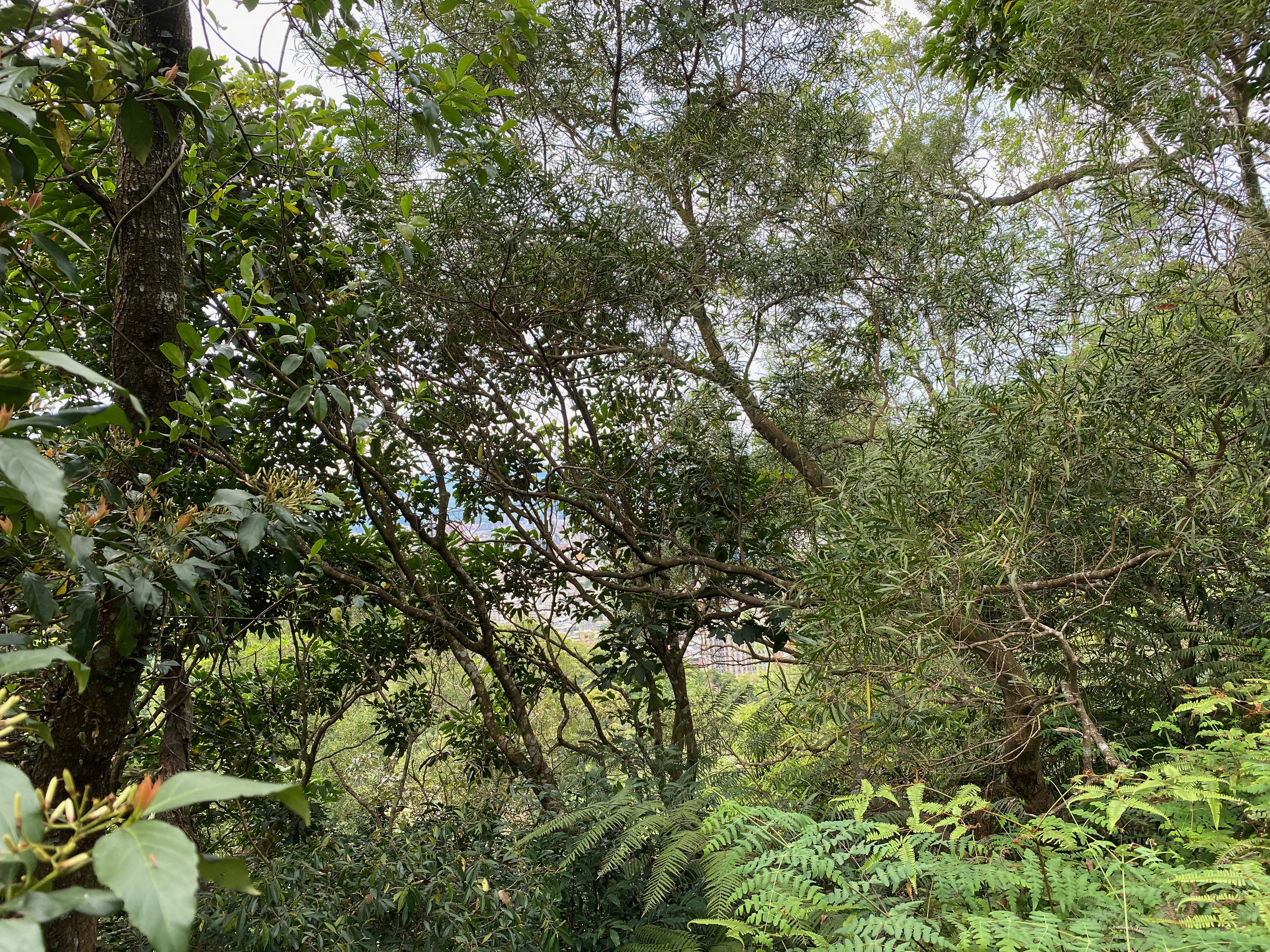
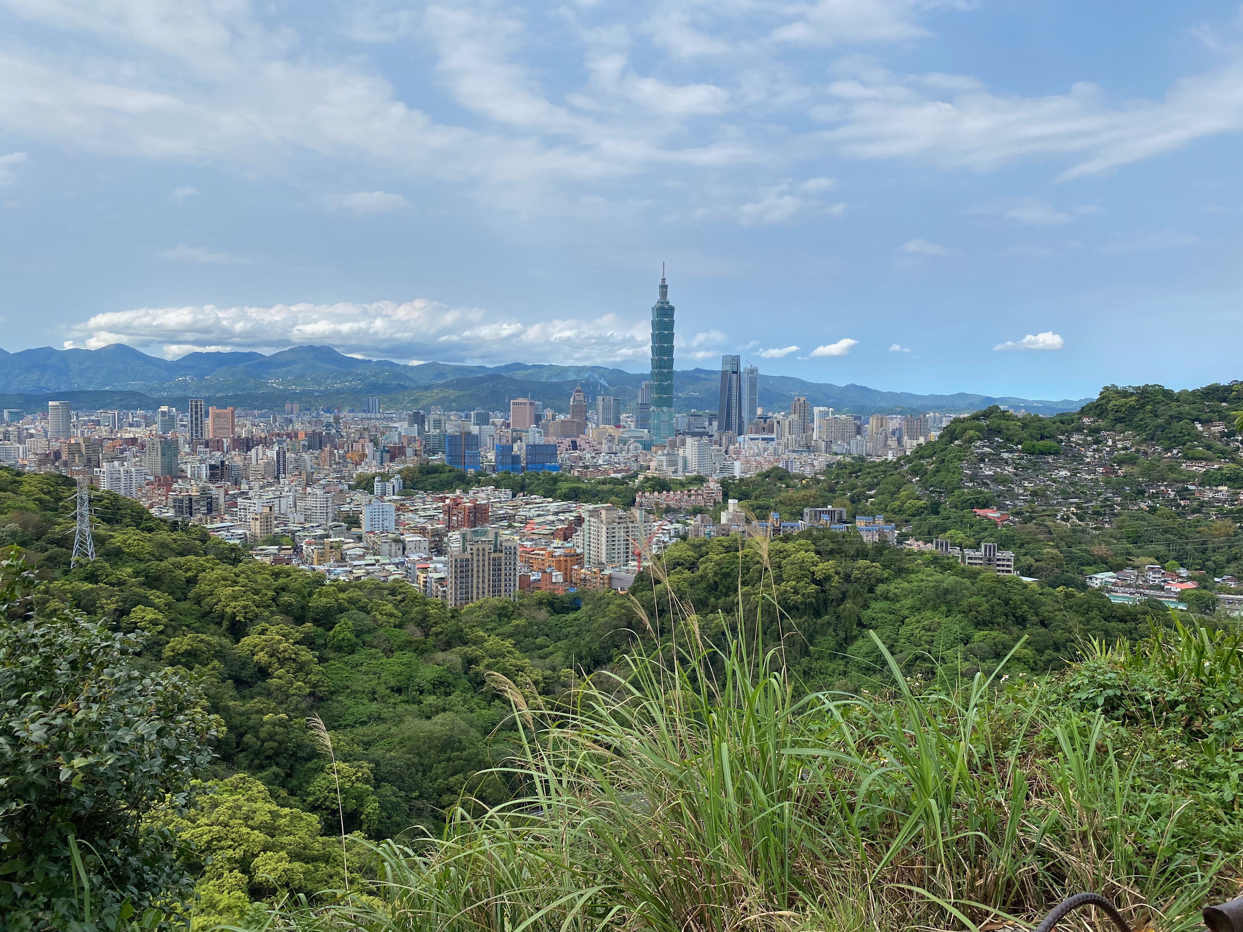
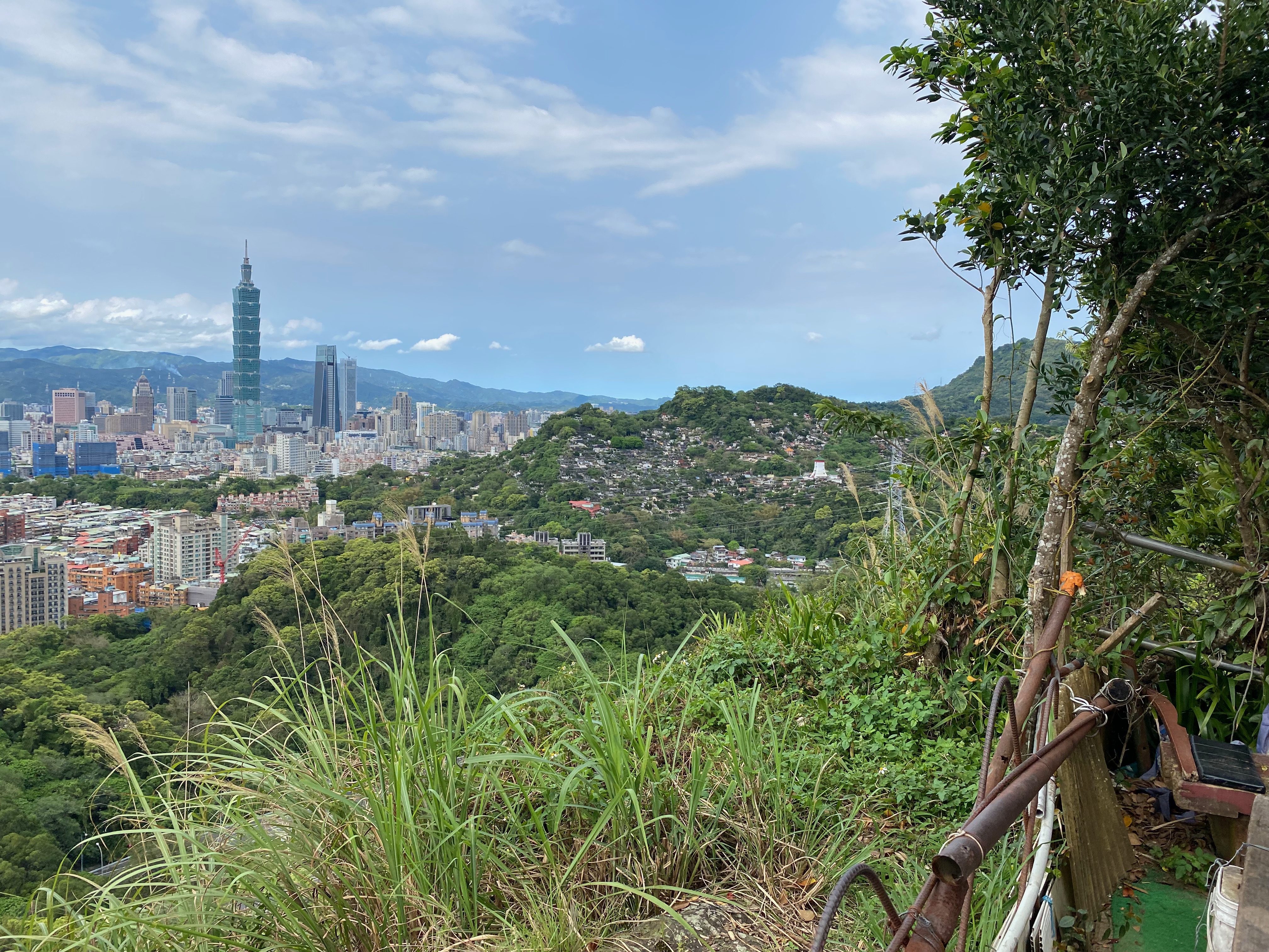
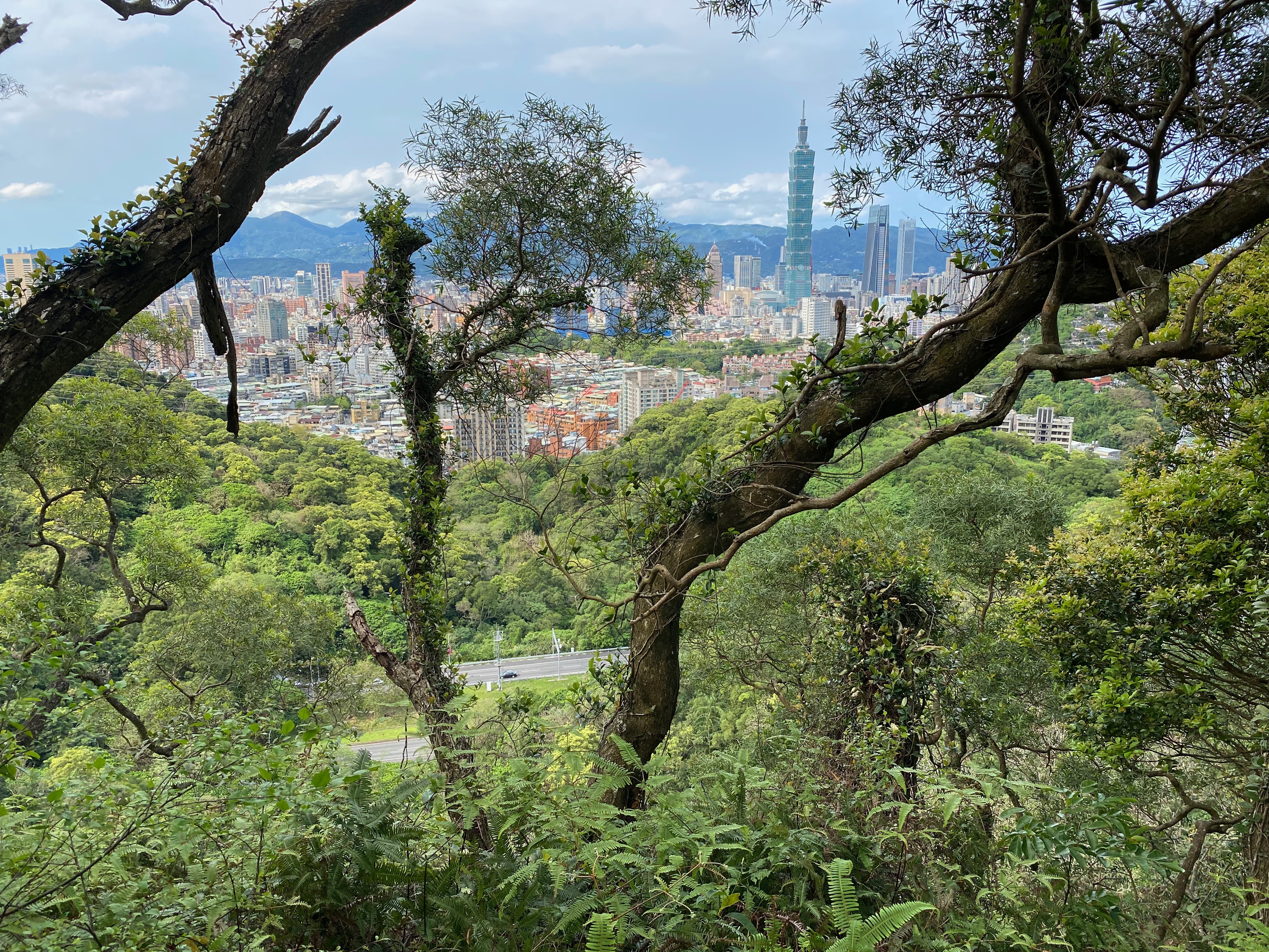
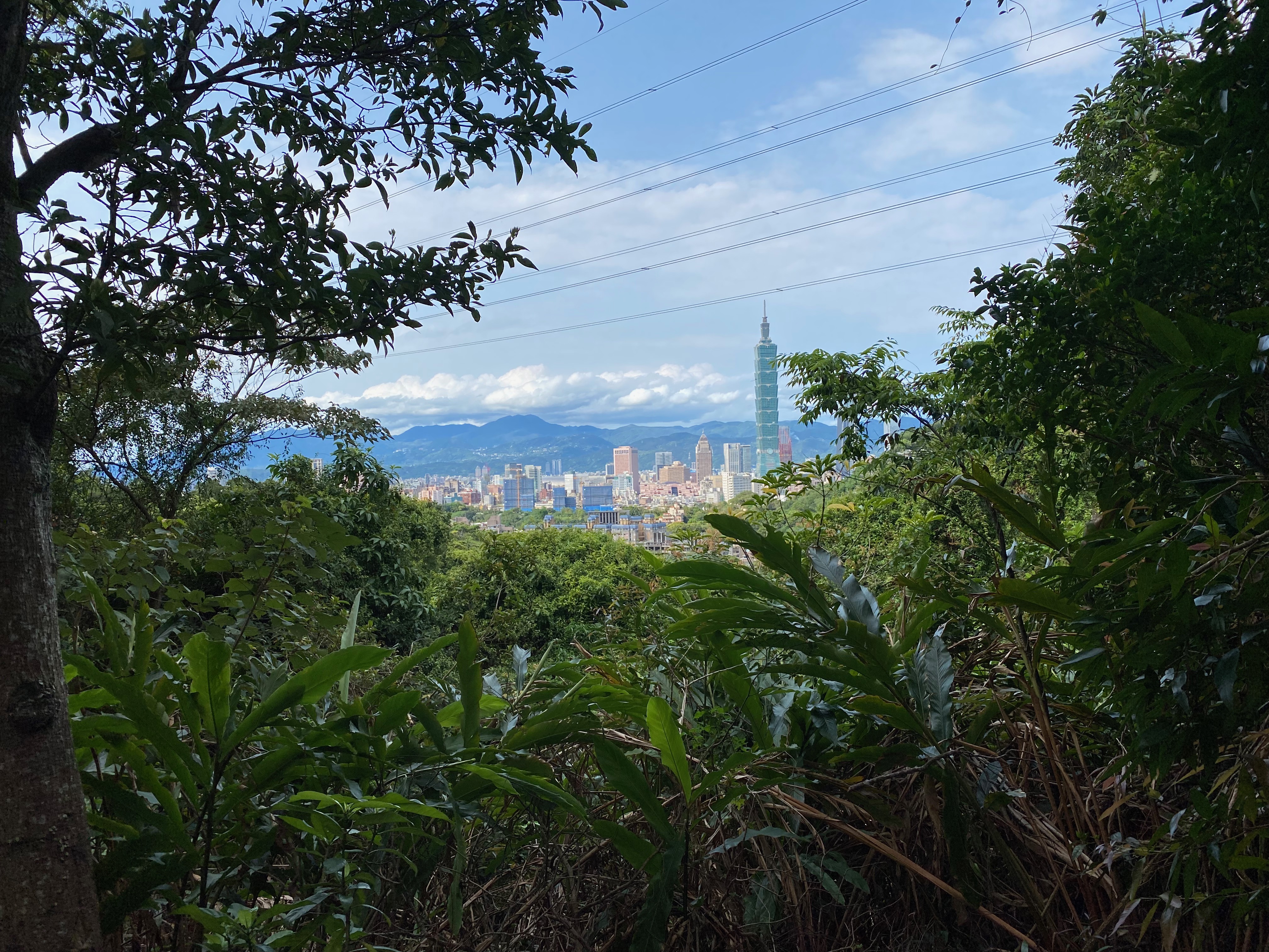
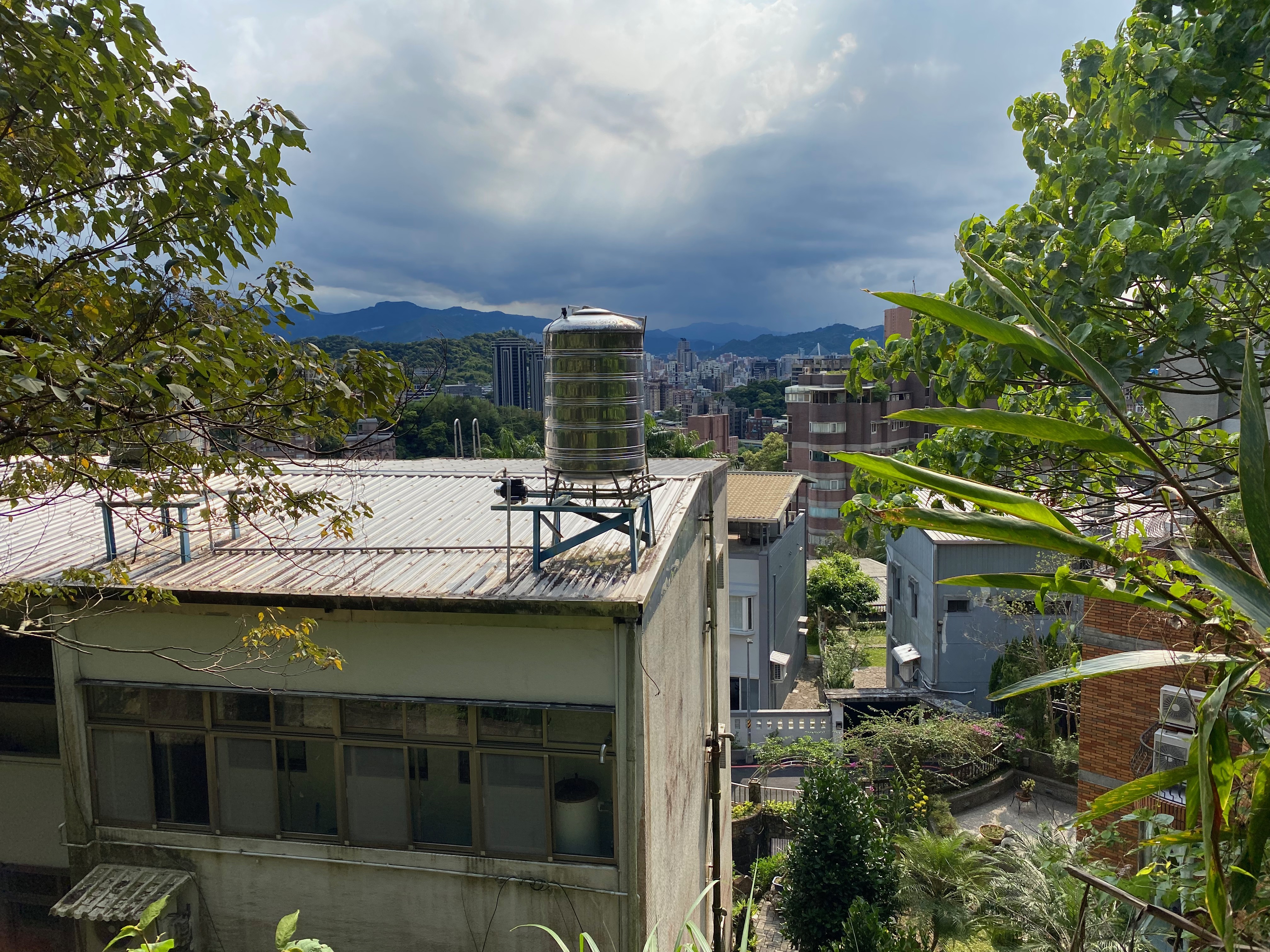
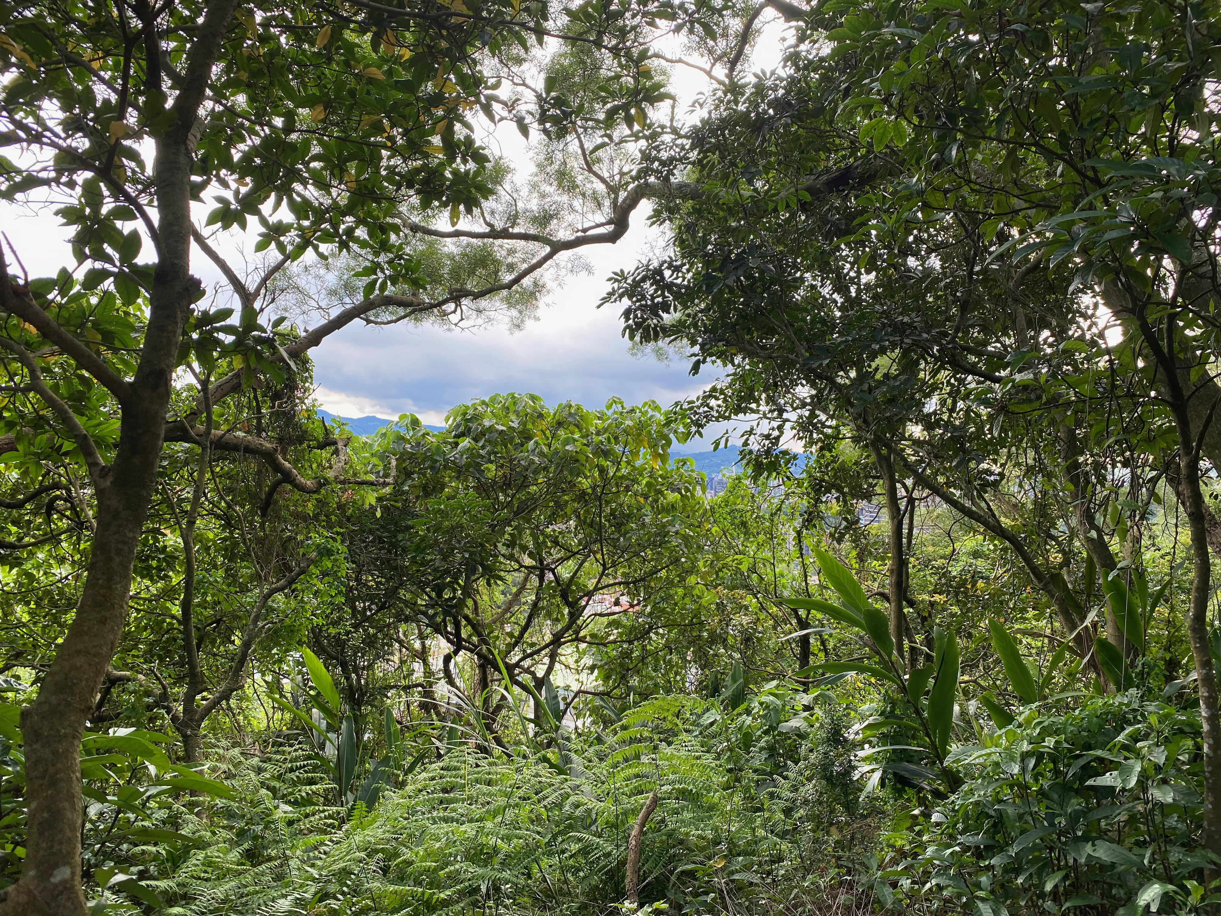
Walking in this way, I saw a lot of beautiful scenes. I could even peek the 101 tower, cool.
It is fine to go the wrong way, if there are great views there, right?
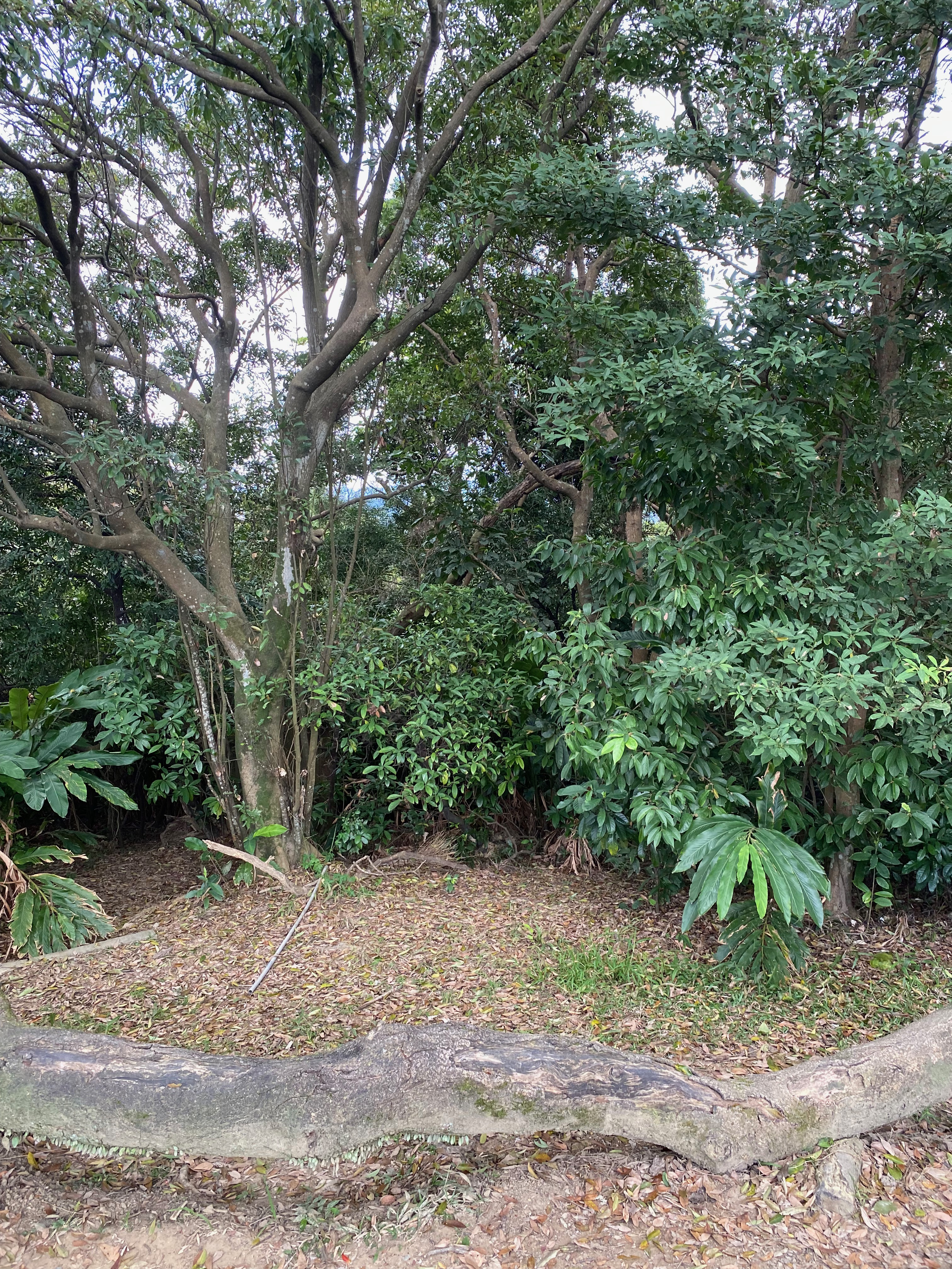
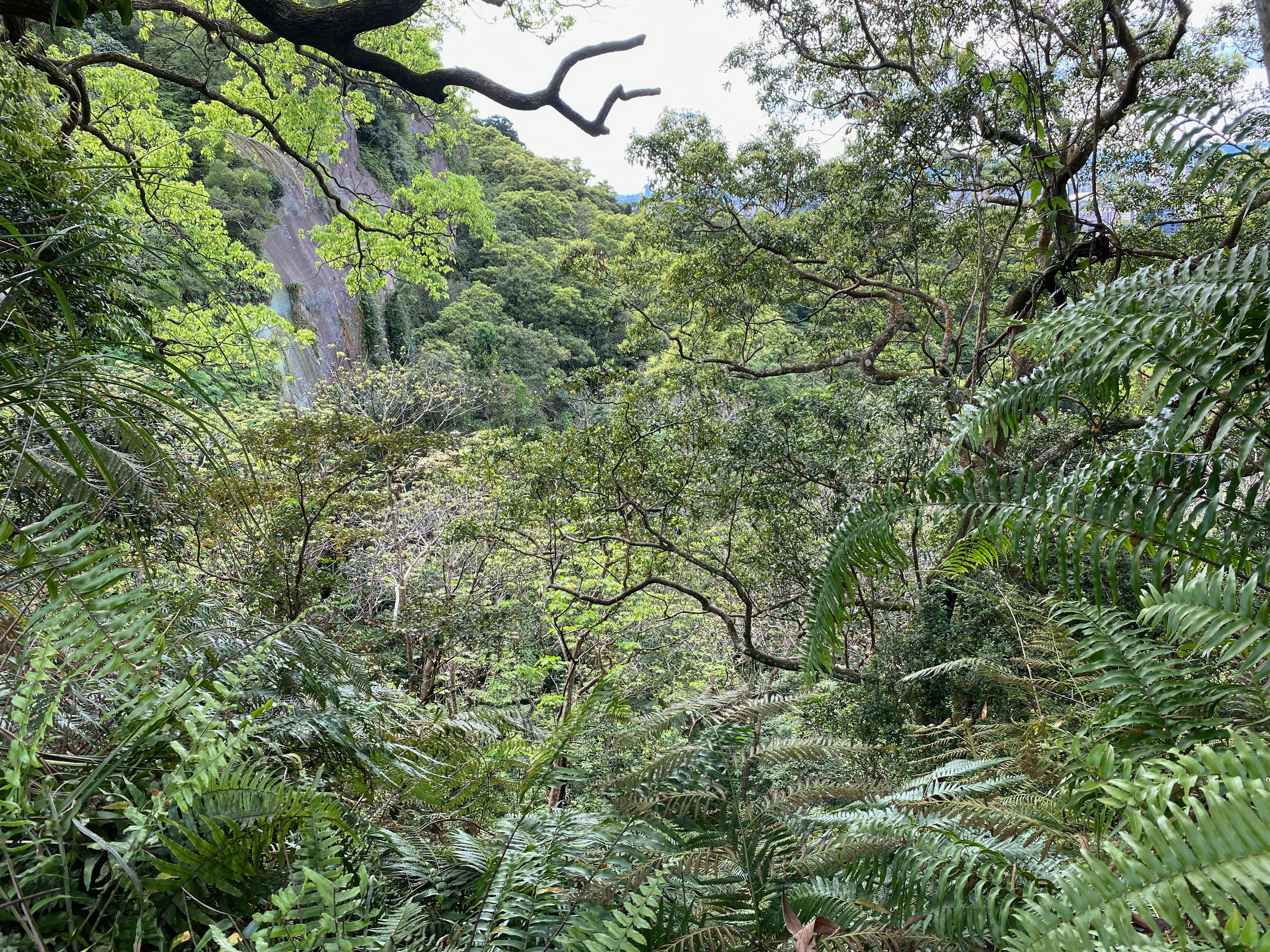
After a while of blind walks, I arrived at a park.
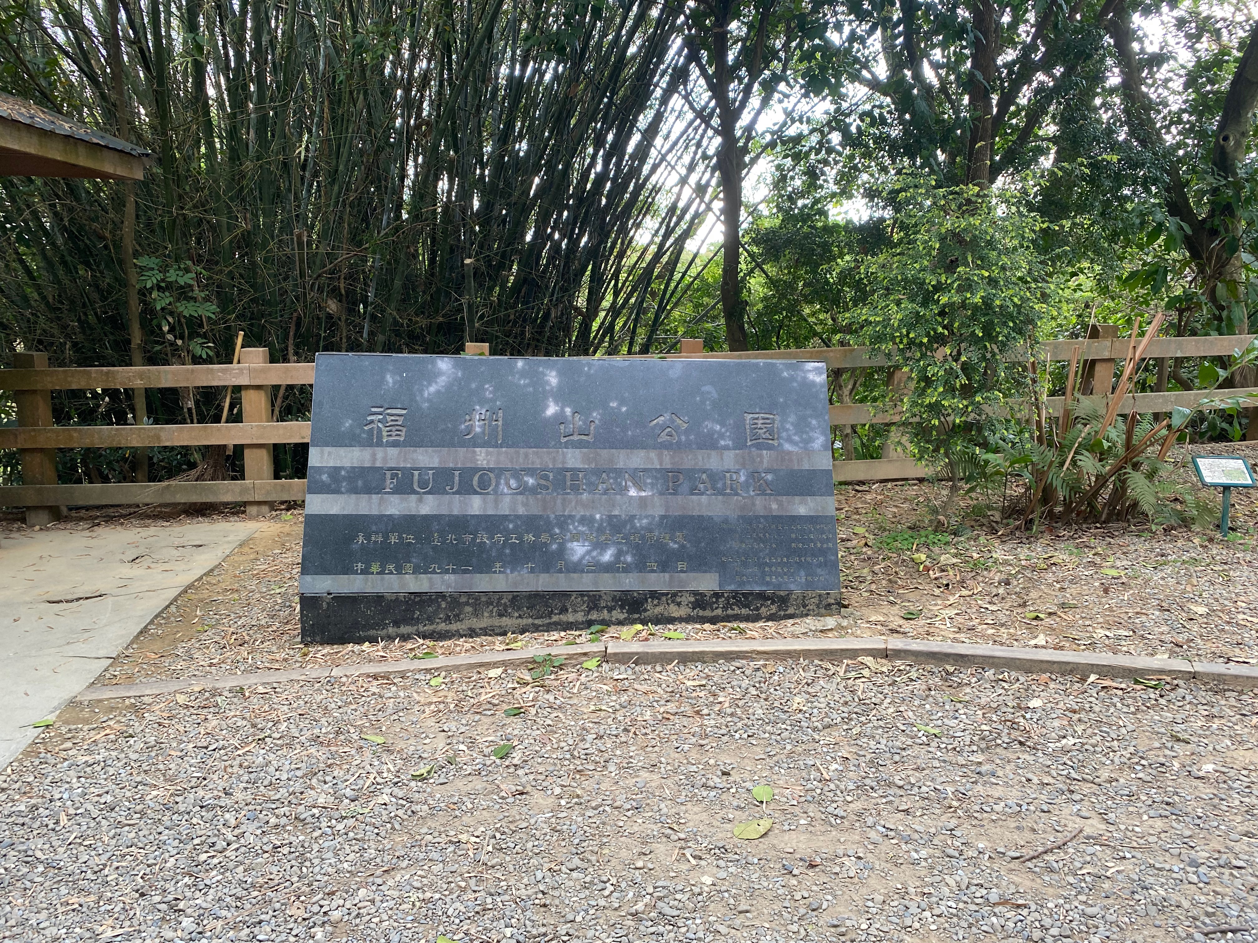
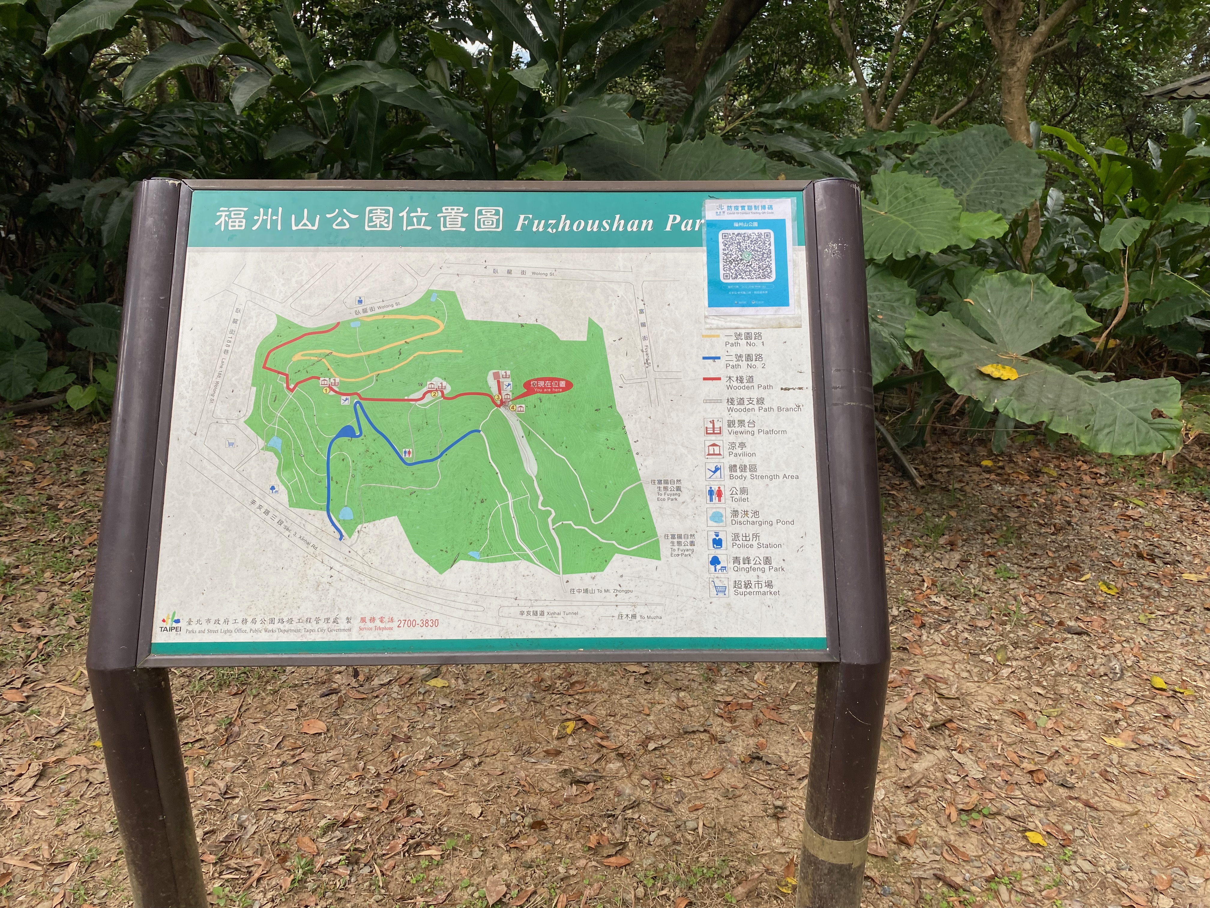
I studied this map for a while, trying to figure out where the correct path was. Unfortunately, I kept going in a circle after I tried to follow the ostensibly correct path for some time. Therefore I thought I would first leave this mountain first. When the signals of my phone became better, I could rely on the phone again.
When I was trying to find the correct route, I realized all of a sudden that I was heading towards the opposite direction. Quite embarrassing.
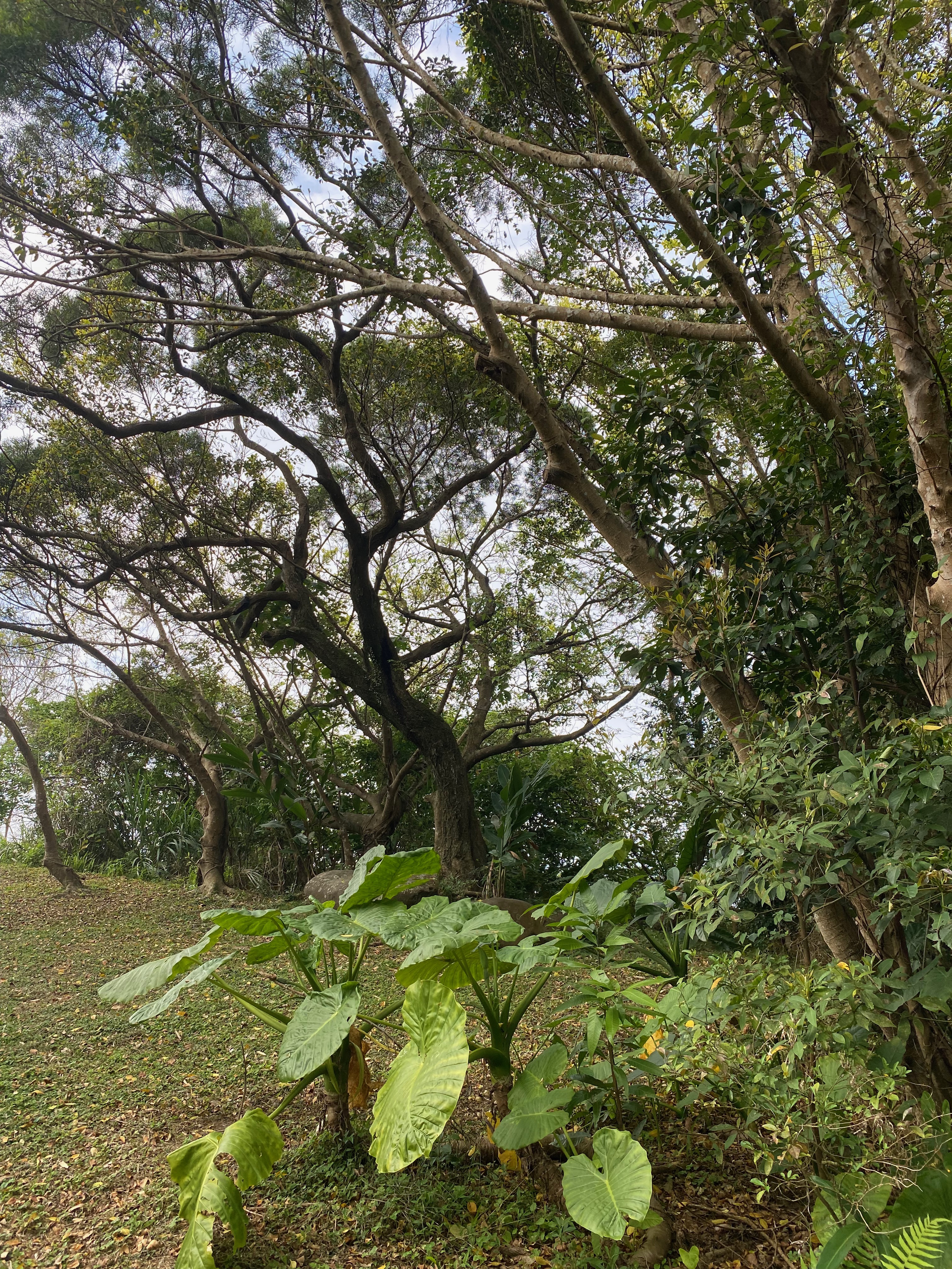
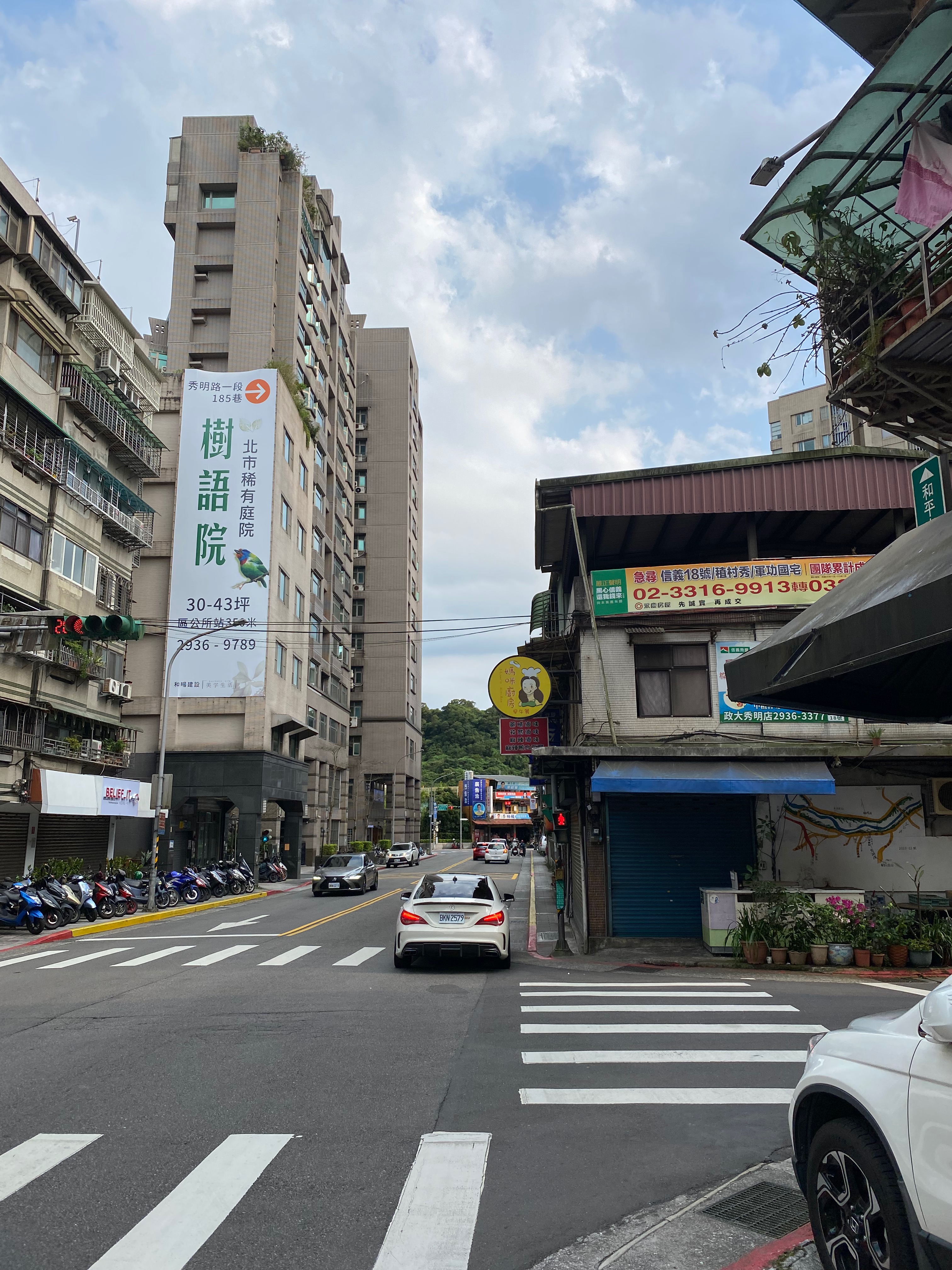
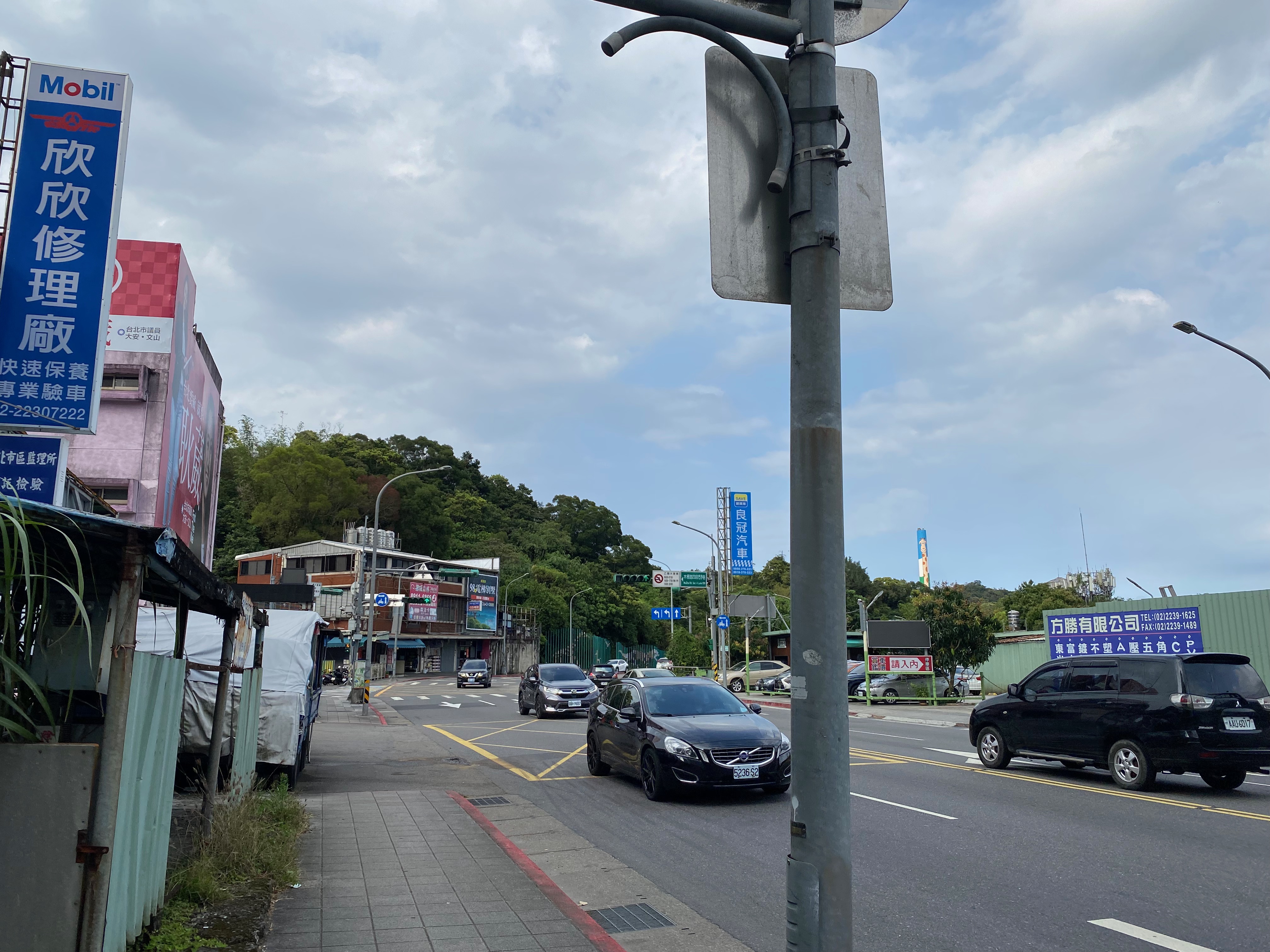
Then the scenes on my way to the Fou-Yang park follow. There are nothing more to say in this period.
It was marked as the Fou-Yang ecological park here. But I could not tell how it looked like a park. There were many people around, though, so per chance I did not realize it was a park simply because I was not near the park enough.
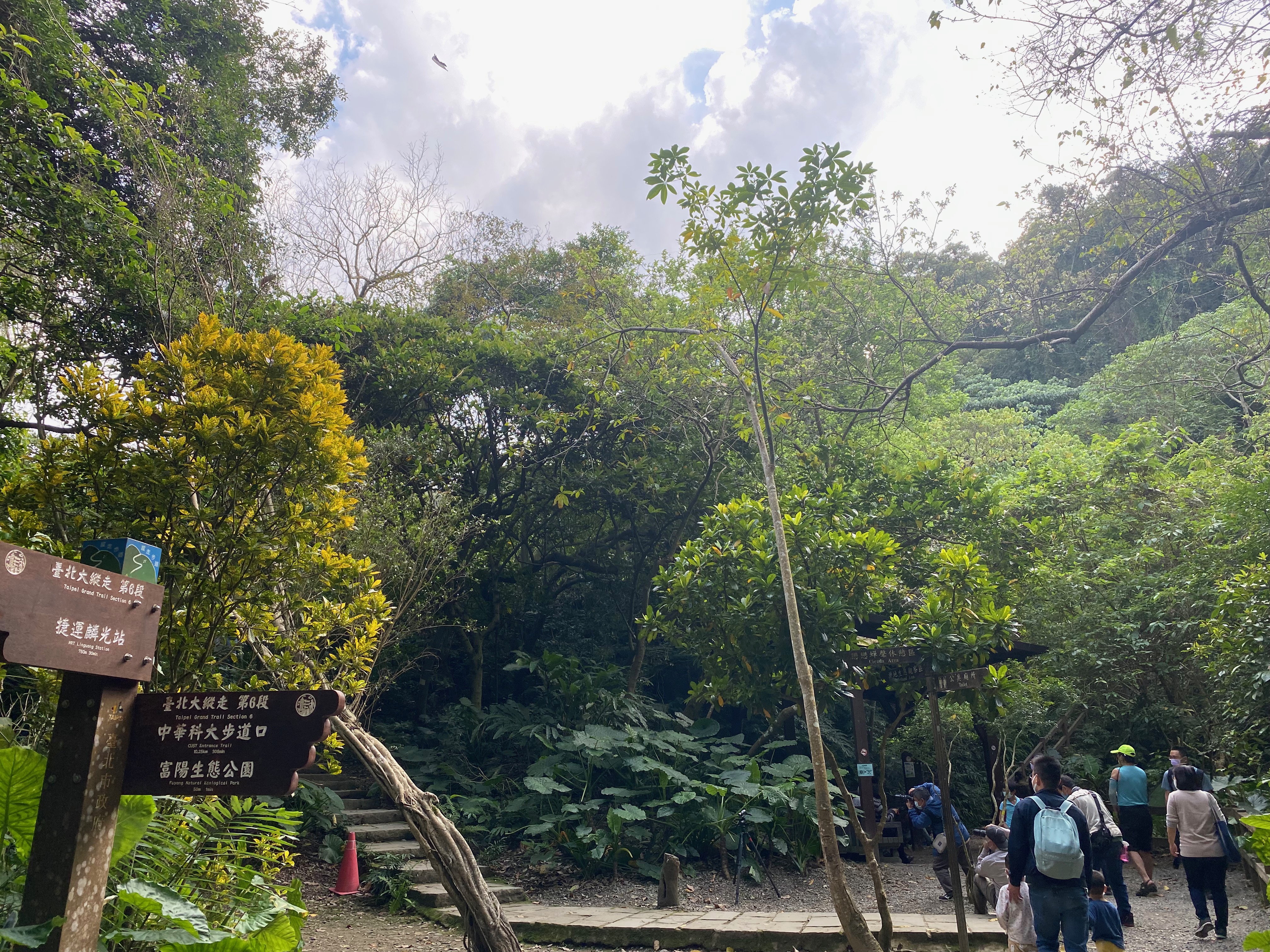
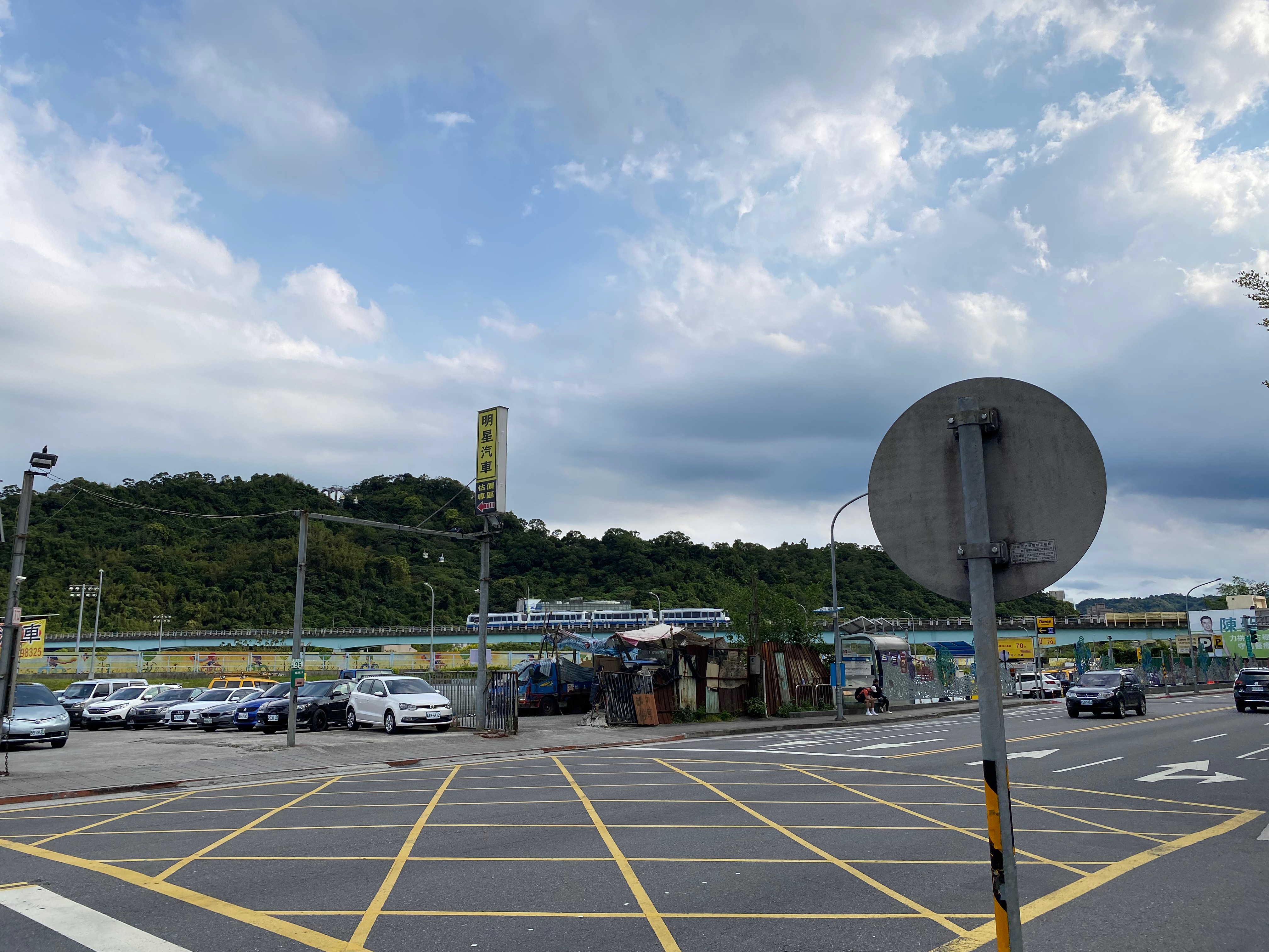
I finally approached the MRT Ling-Guang station, following the indications of the Billboards.
Then my phone told me that there were an hour and fourty minutes of road waiting. So I went back by MRT directly. ;P
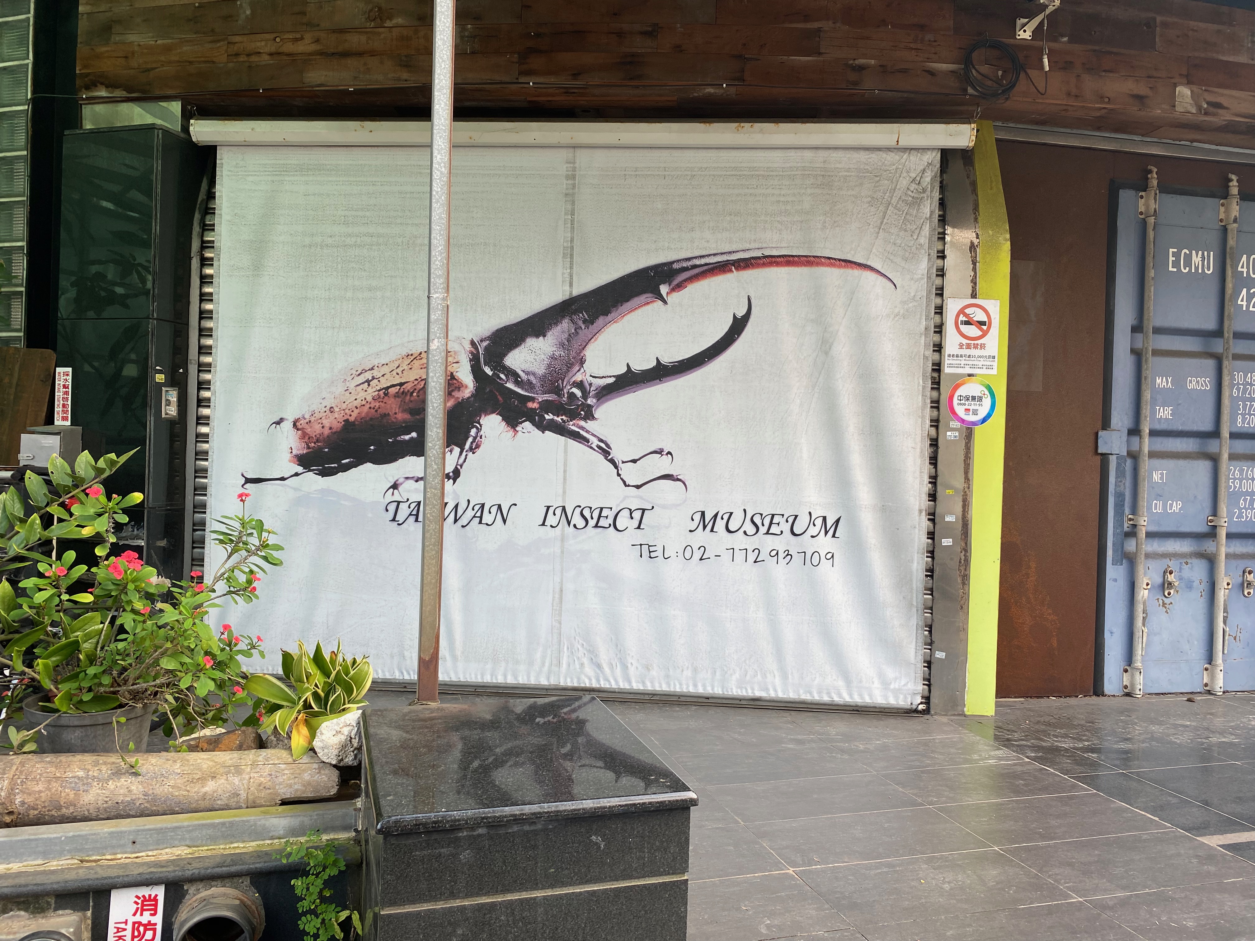
I found a "Taiwan Insects Museum" on my way to the MRT station. Quite cool!
The third attmpt
A week later, I still did not want to give up the plan, so I embarked on the journey again.
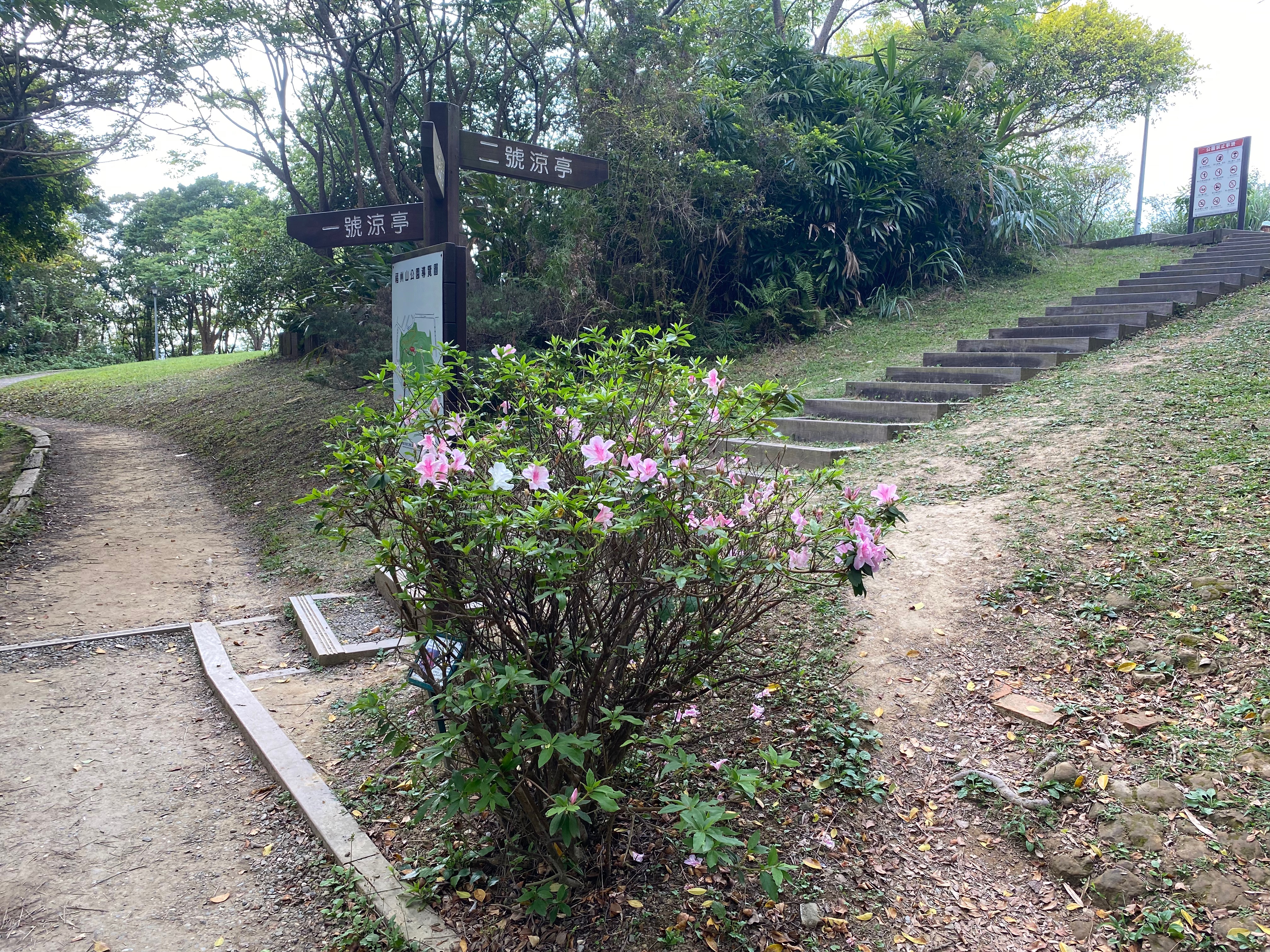
After the previous trip, I studied the map a little more, and thought that I could arrive at my destination by following the indications on the Billboards towards the location "World Villa". So here I was again, all ambitiously.
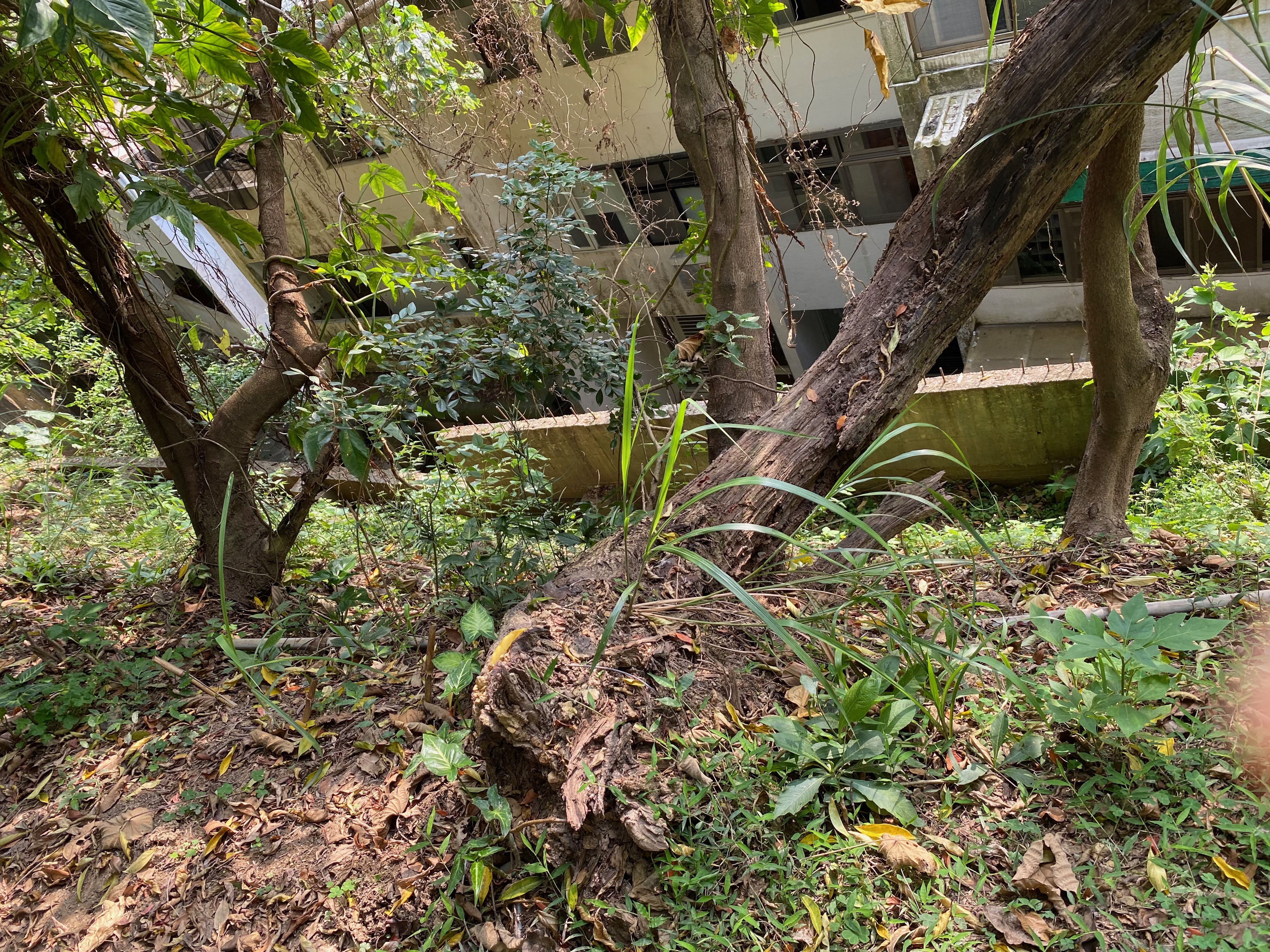
Since I regarded myself as being familiar with the routes, I wanted to explore the different roads along the way this time. When I saw a branch, I turned there to see what was there. The picture shows the end of the first branch.
I arrived at the first platform again. This time, following my new plan, I headed towards the "World Villa". More steep roads.
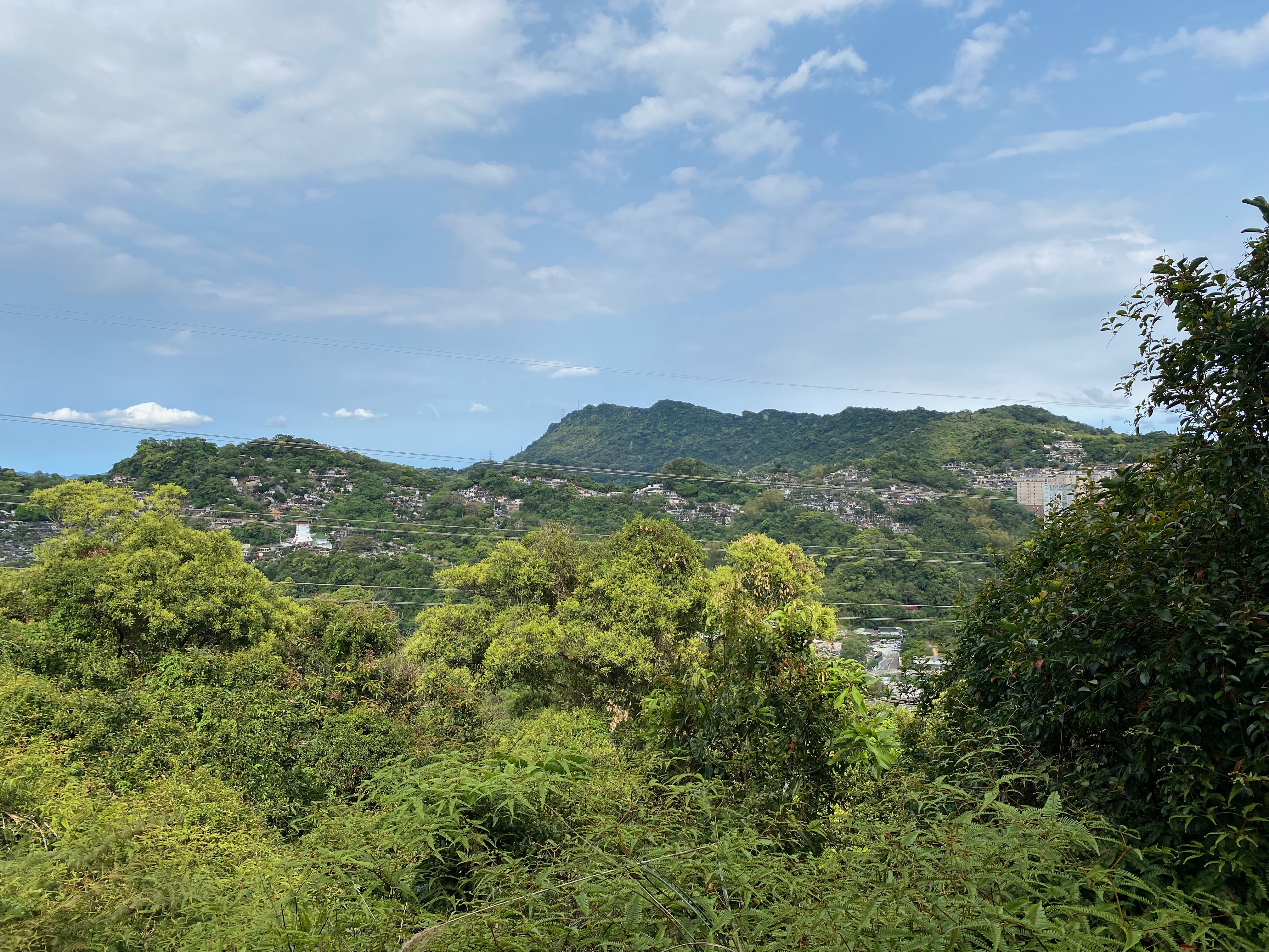
There were less people on this route than the one to Fou-Yang park, where one would encounter groups of people after few steps. This road was clearly much narrower and there were almost no people around.
But the scene was also much more gorgeous. Great scene would just jump into my eyes when I walked.
It was at this moment that I decided to record this journey. Just too good not to share.
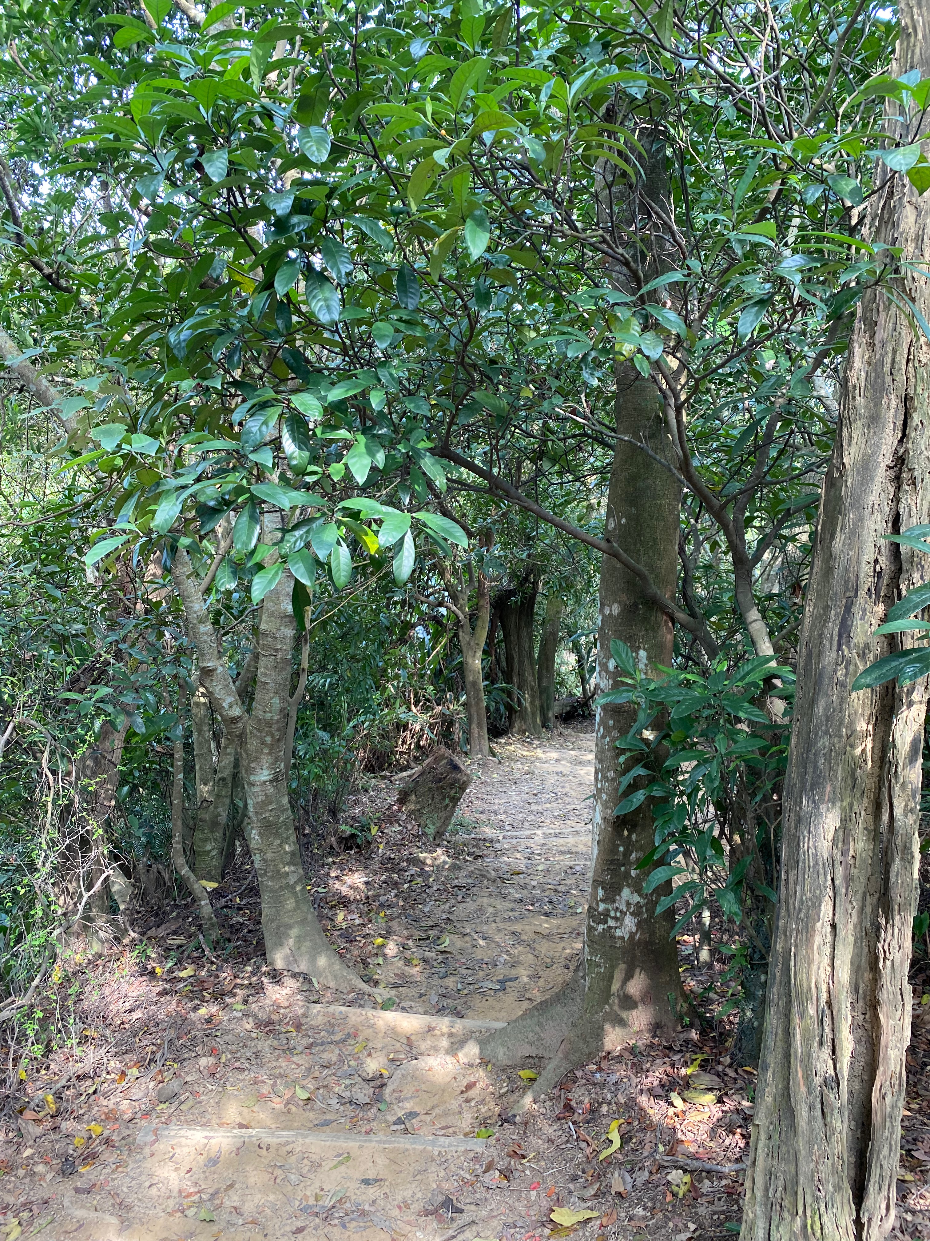
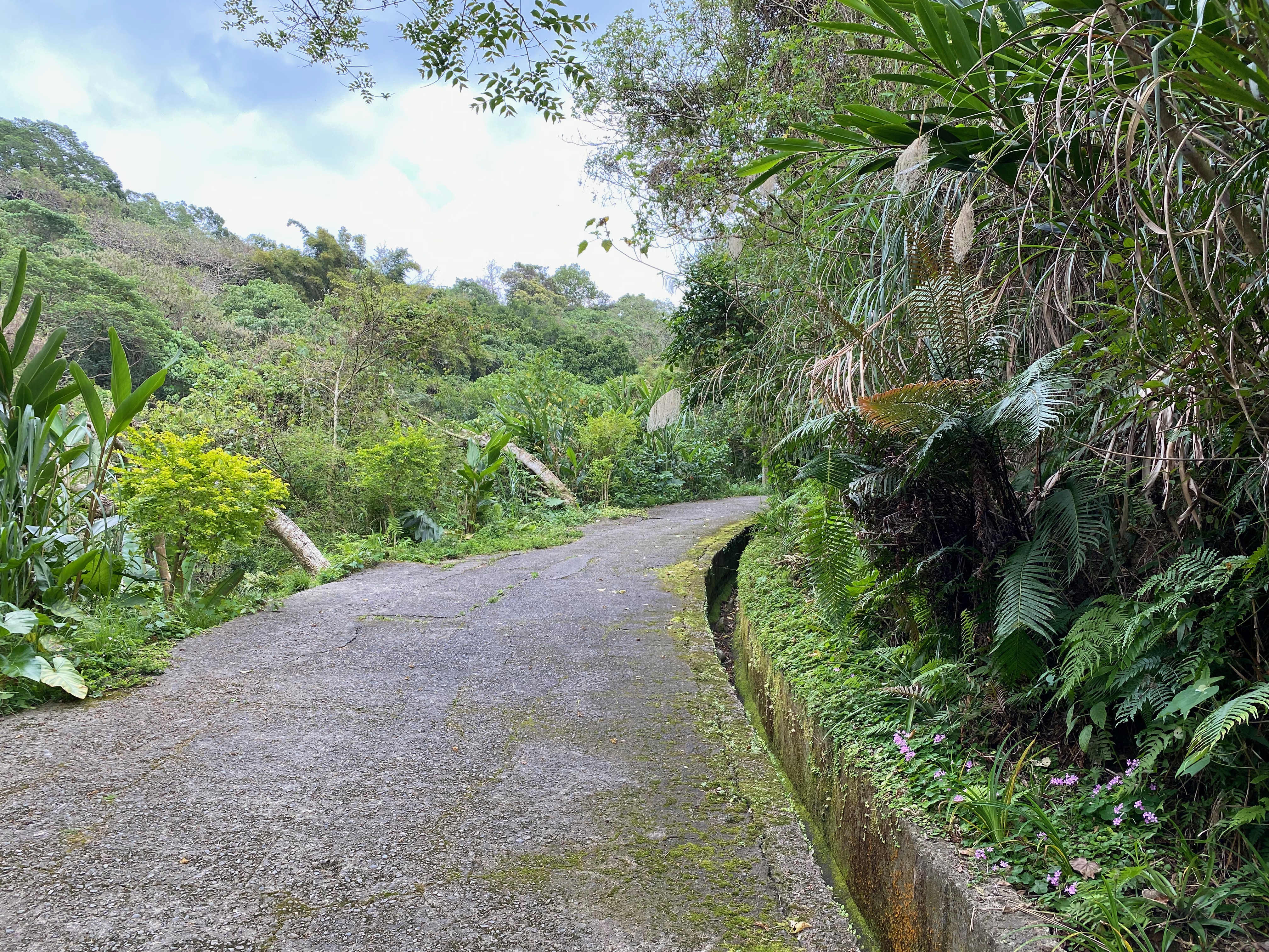
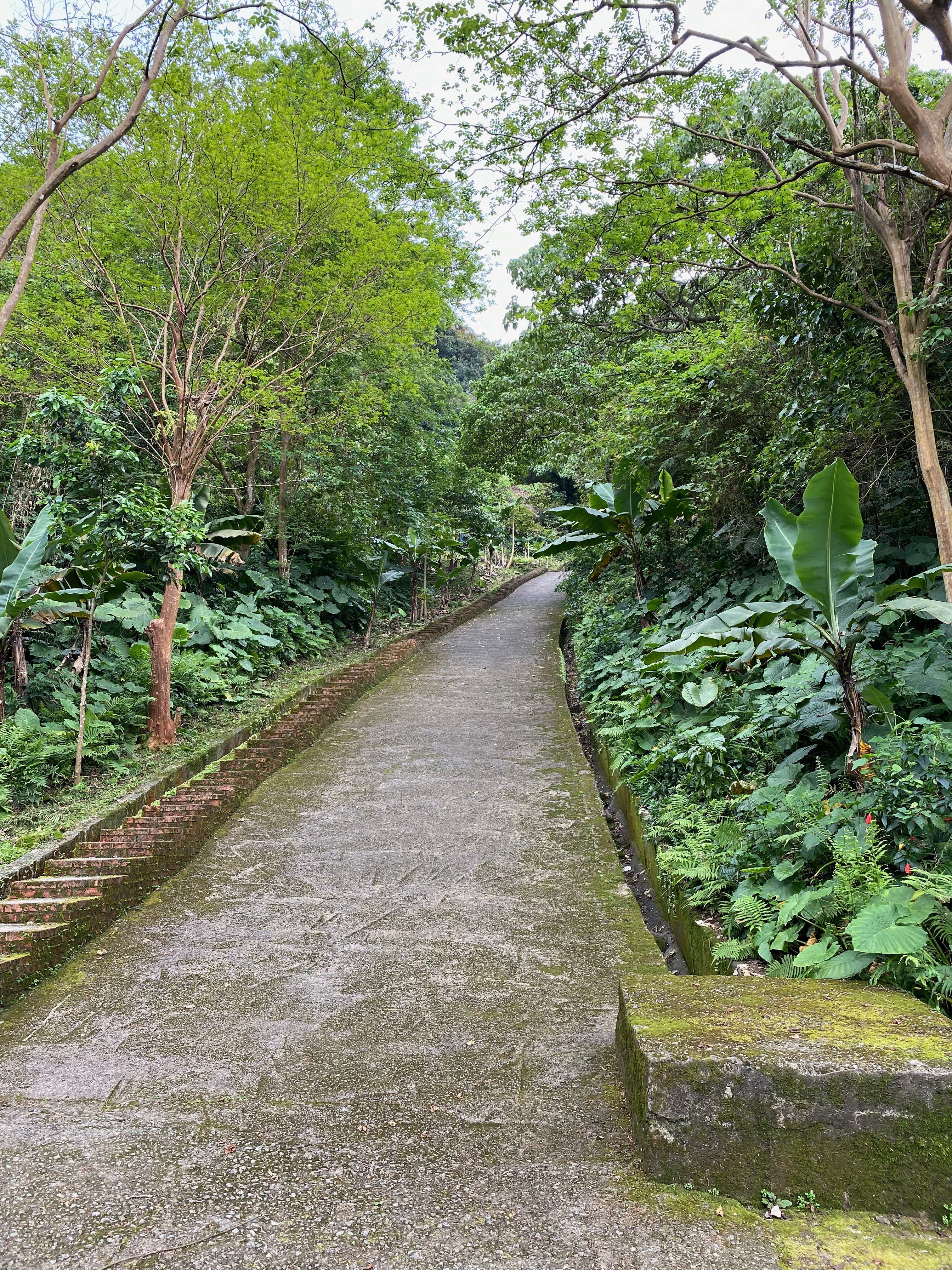
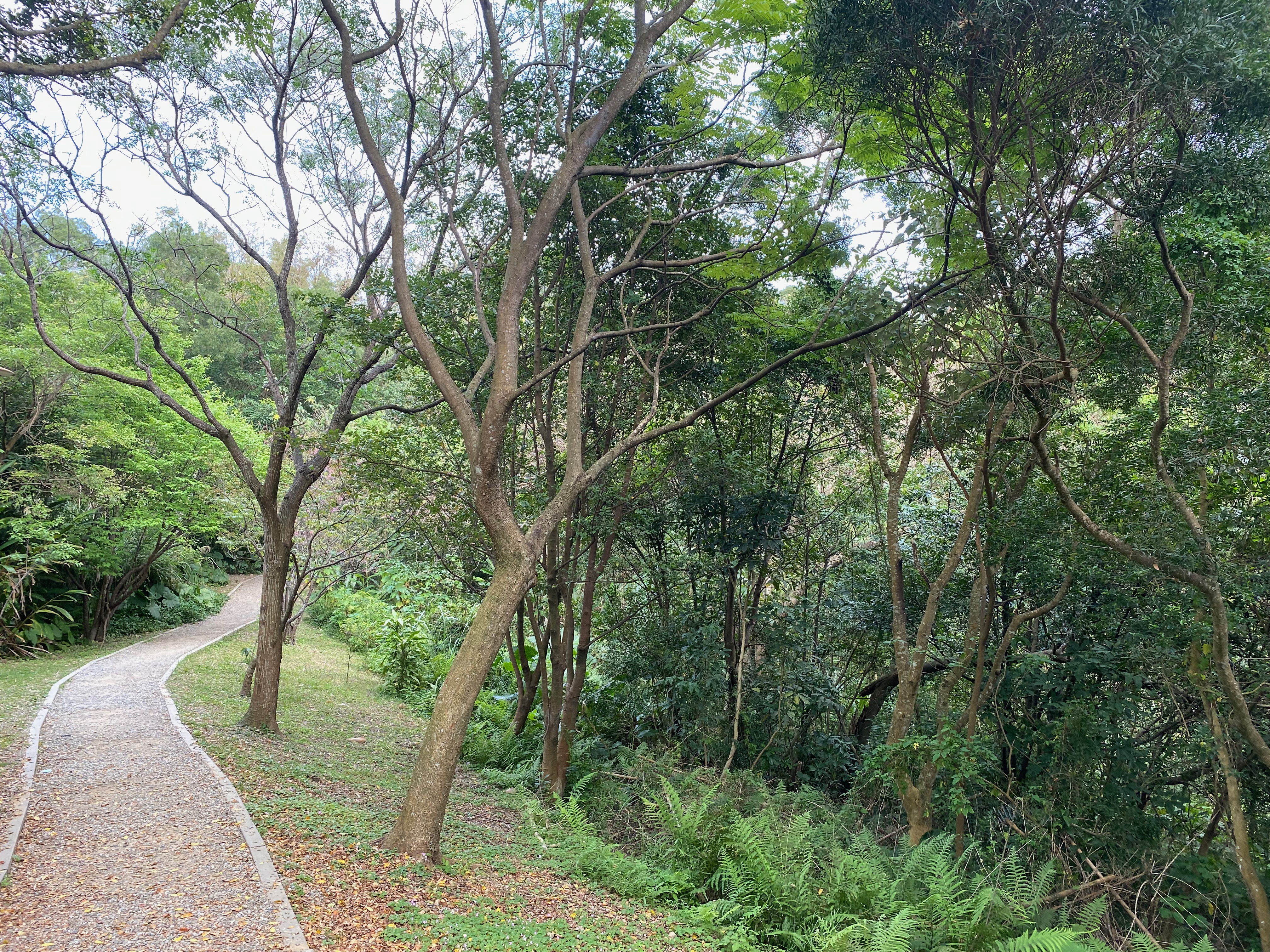
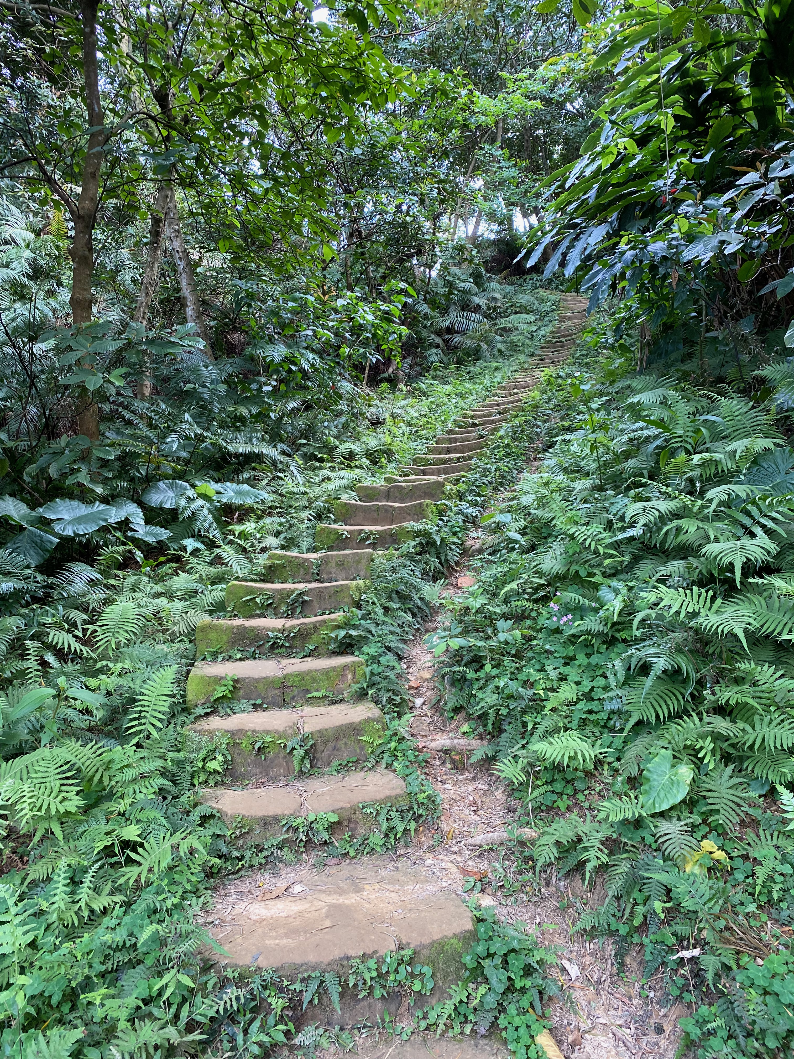
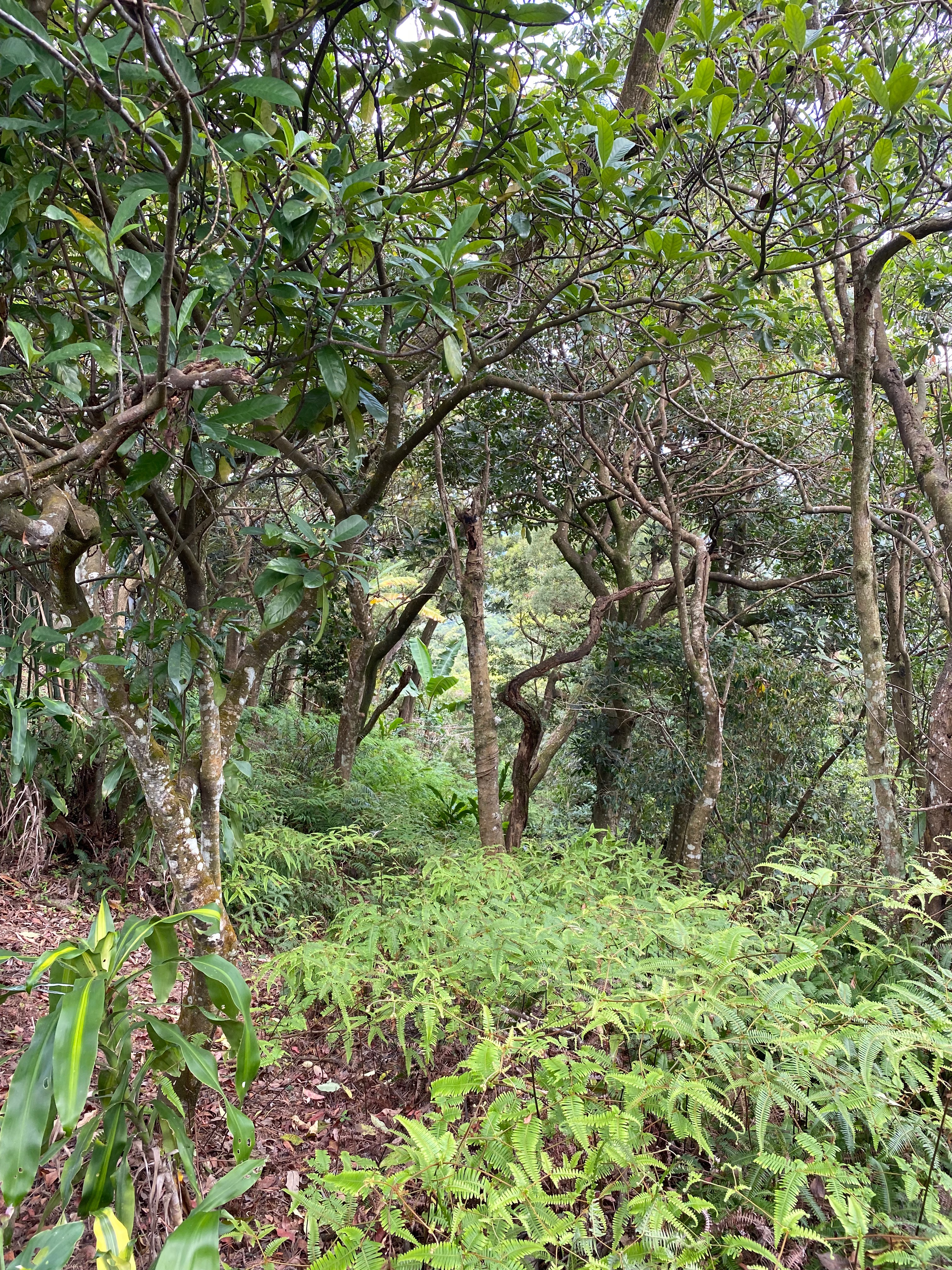
This route consisted mostly of small roads like this. It was a pleasure to walk on it.
But there were more mosquitoes on such a small road. Be careful.
It would not be an exaggeration to say that the scene changed from one step to the next!
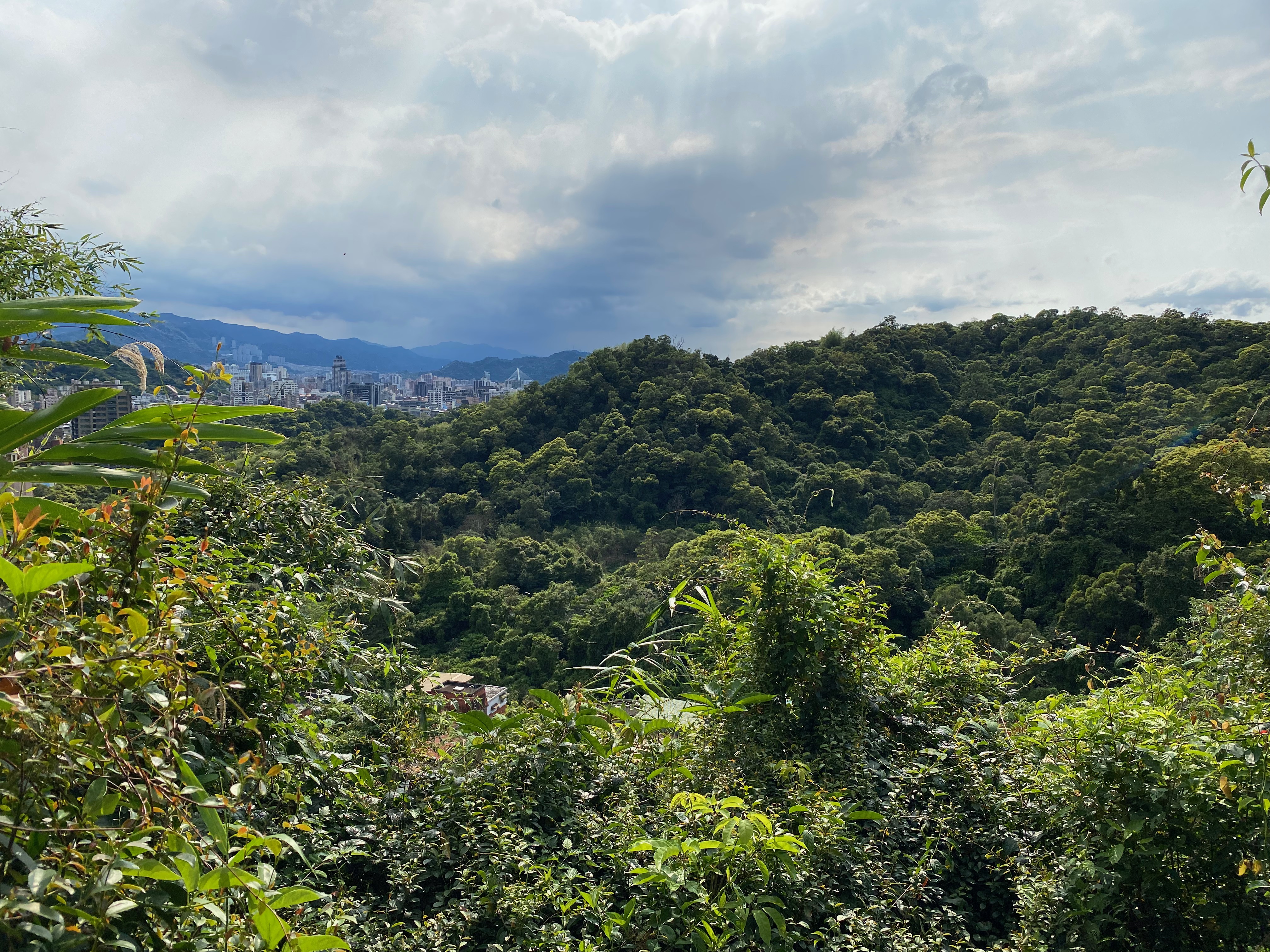
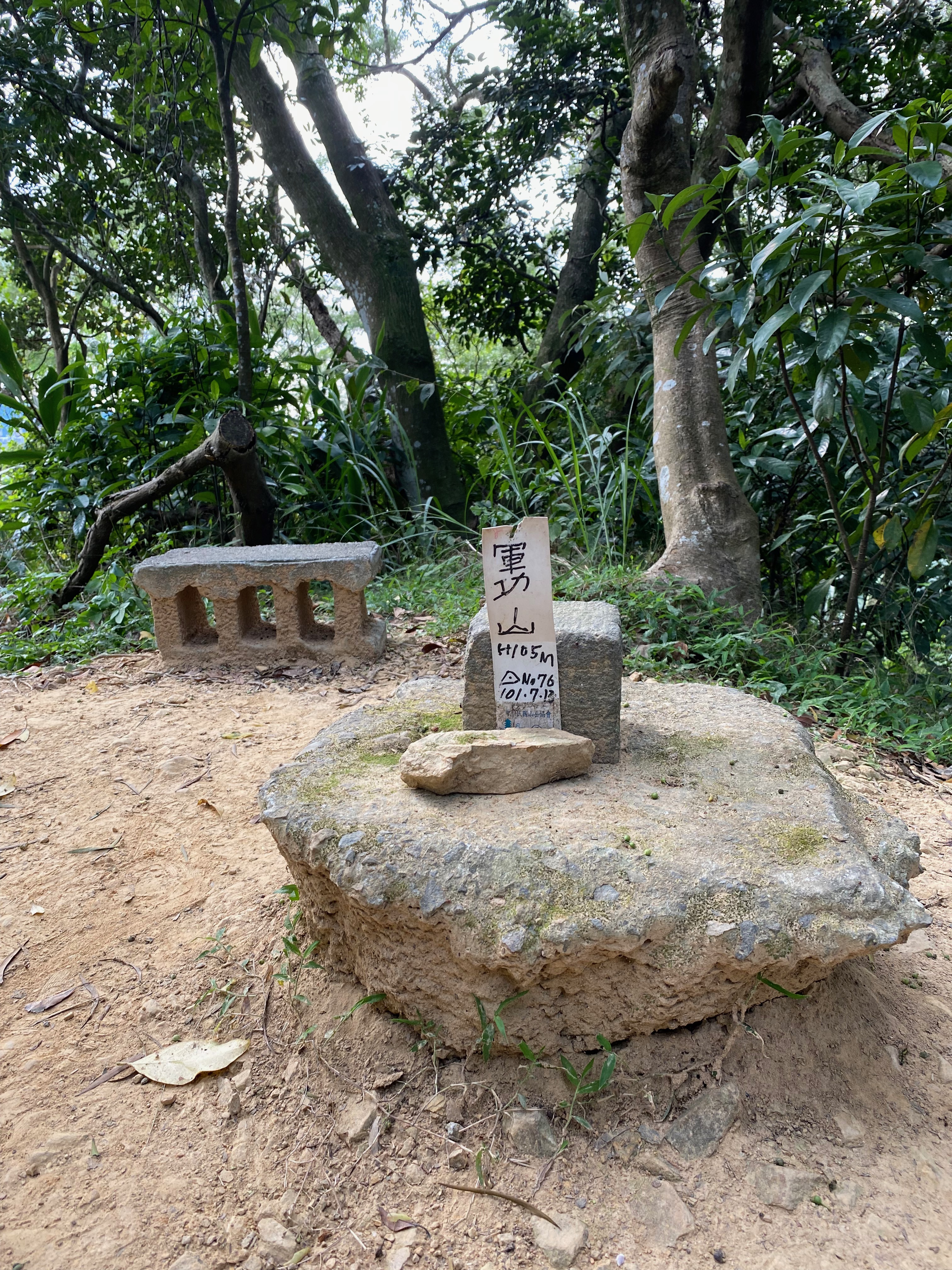
I arrived at the Zhong-Pu mountain unknowingly. The last picture was the observation deck of Zhong-Pu mountain.
There was a group of people at that moment, discussing some upcoming events. I did not know which group they were.
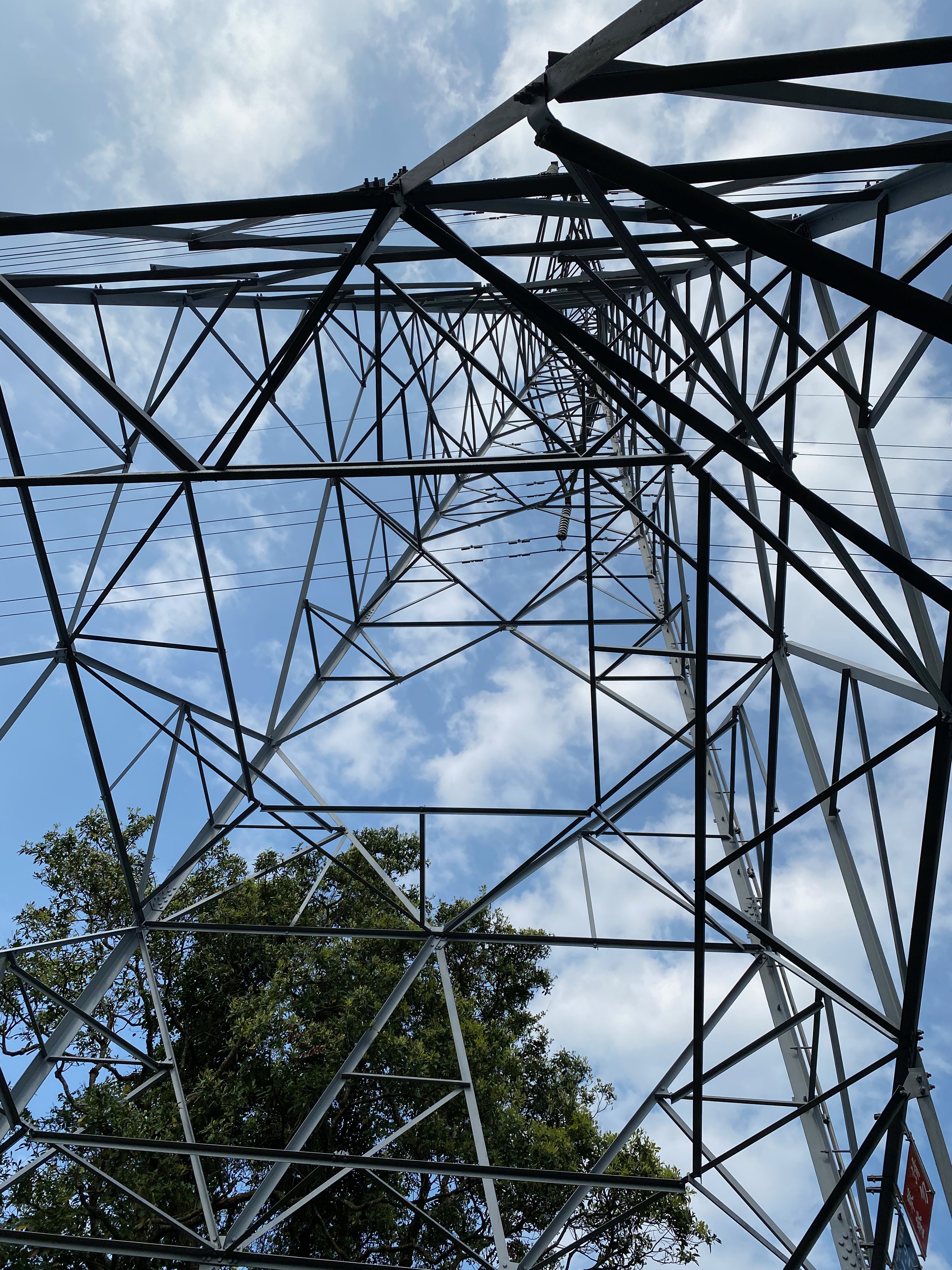
Just take a photo when I saw something tall.
I was thinking to venture into this dead road. But I had travelled to enough places, so I left that to the next time.
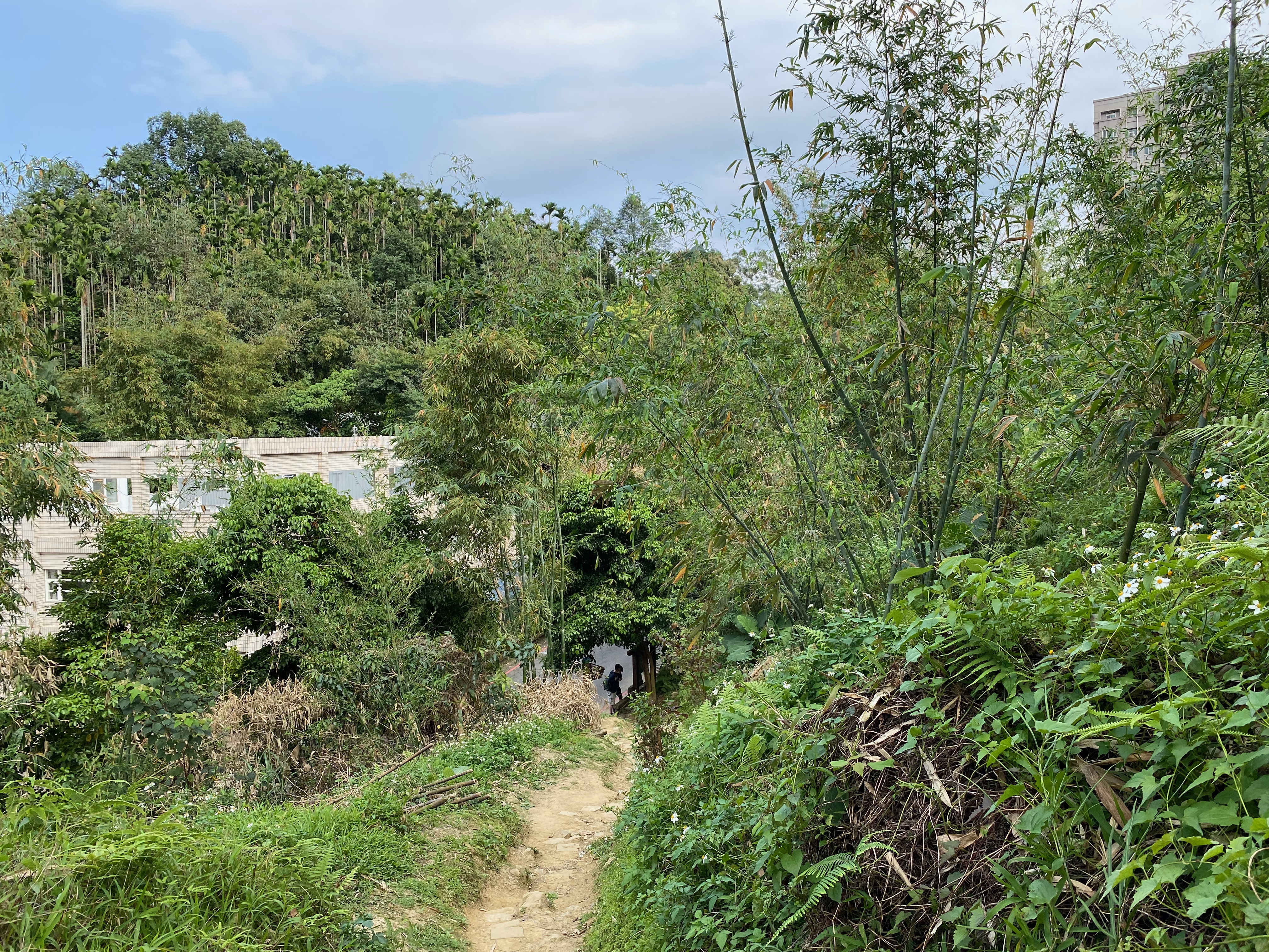
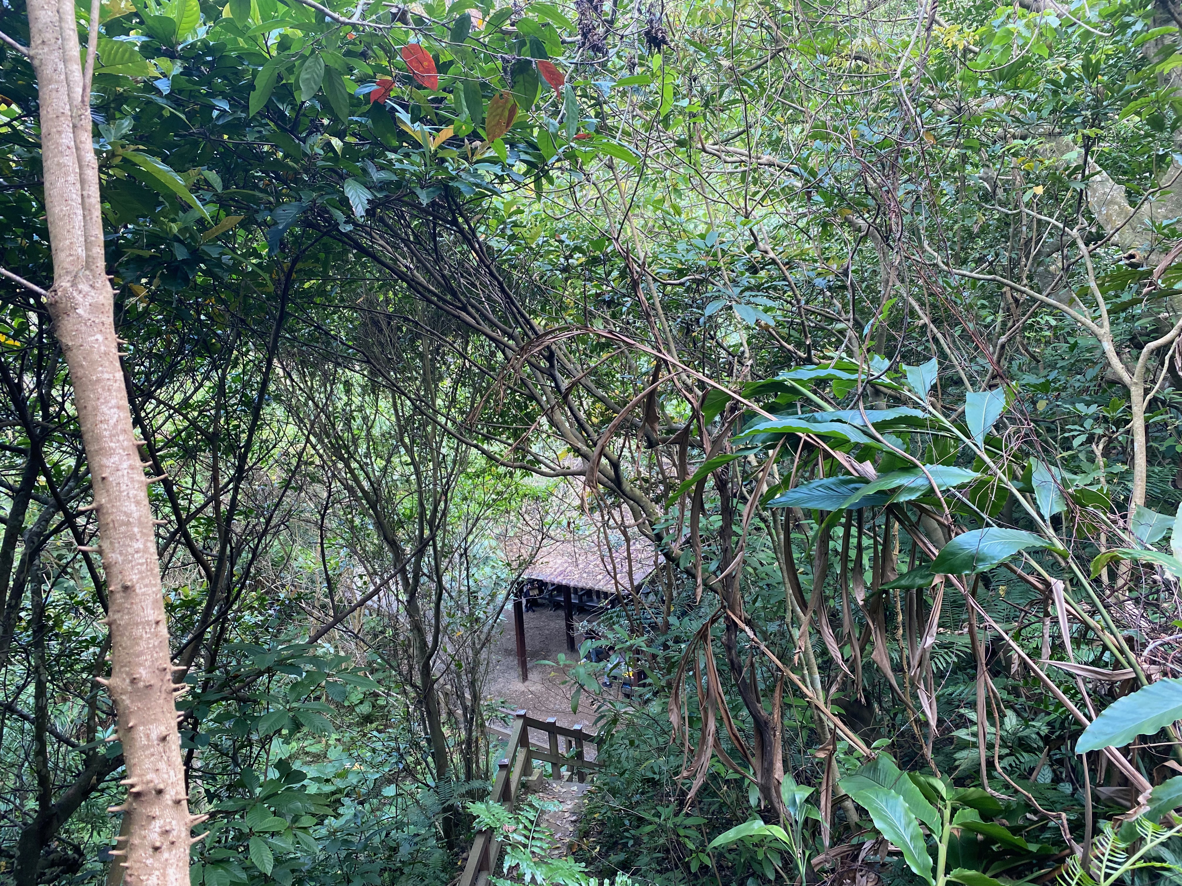
Finally I saw the exit from the mountain!
By the way it appeared to me that there was a farm field nearby. Someone was doing something there.
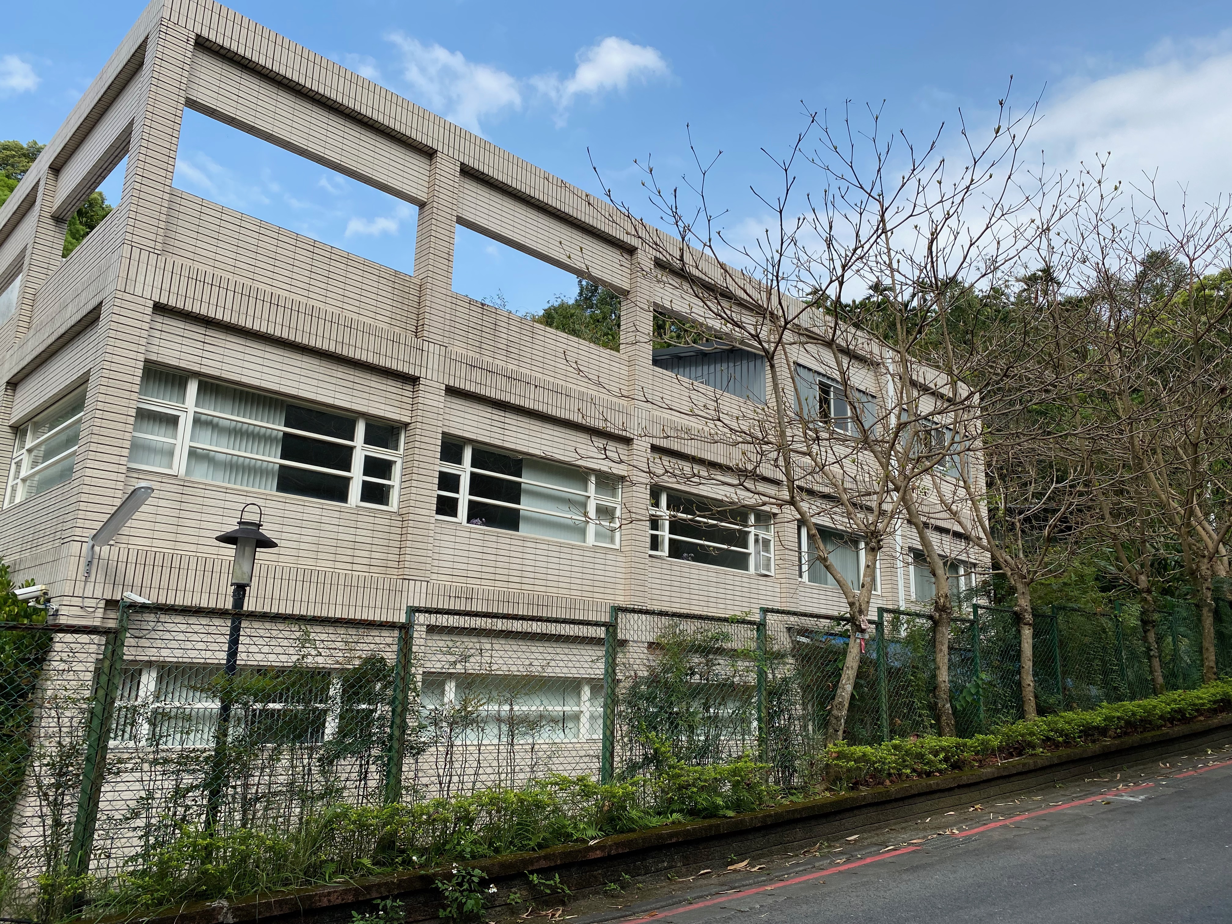
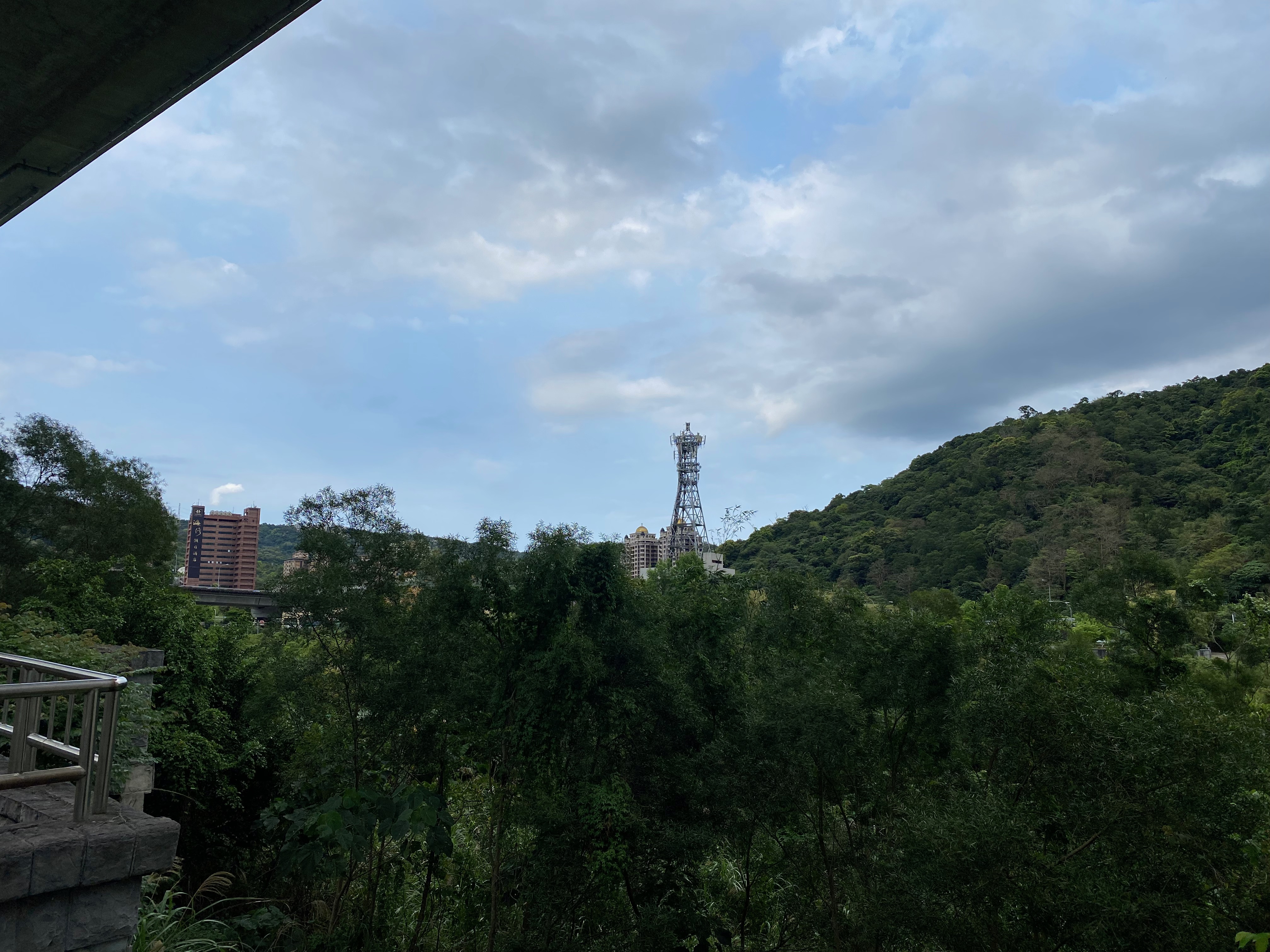
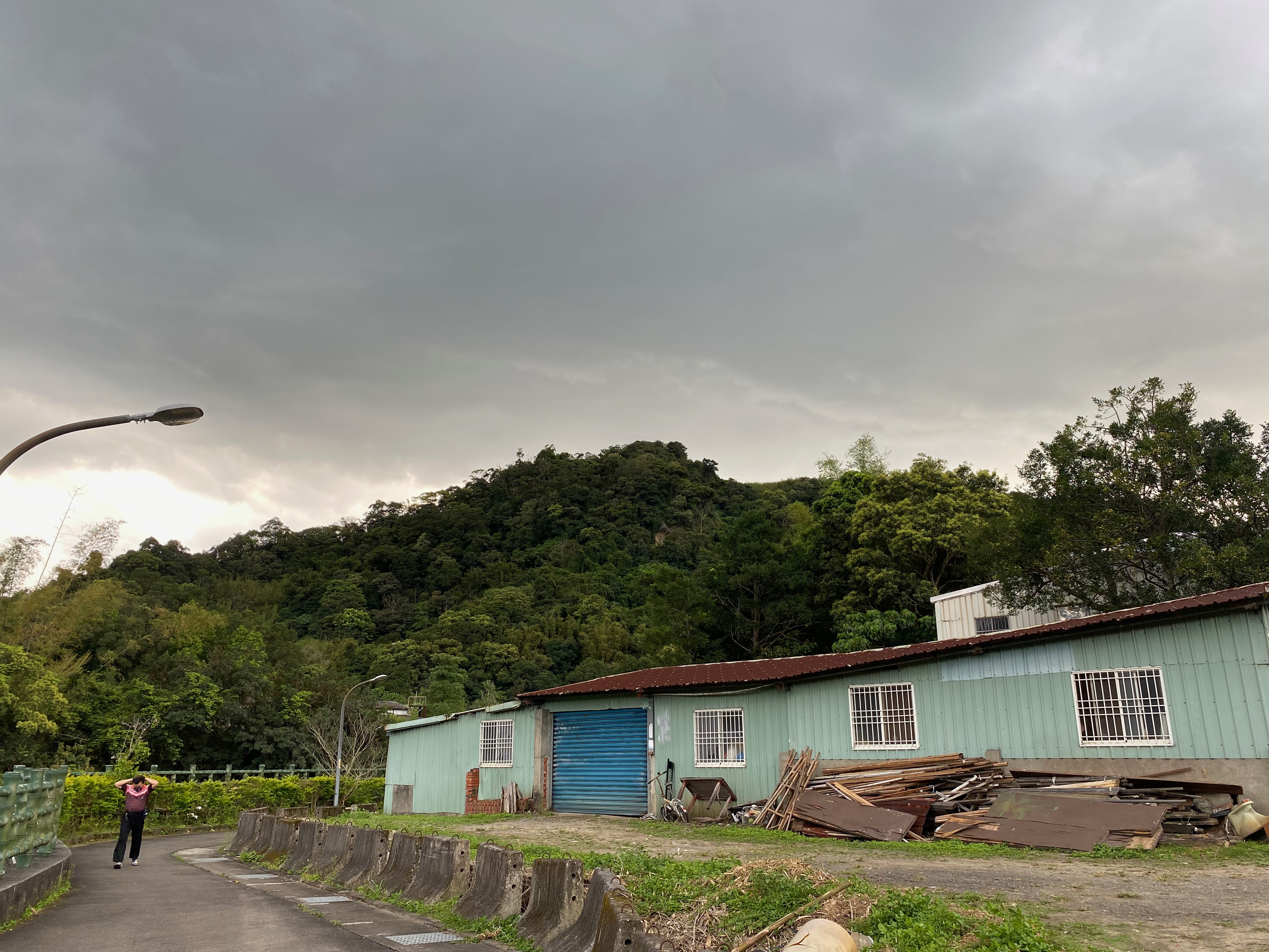
When walking on the correct path, even ordinary houses looked amazing.
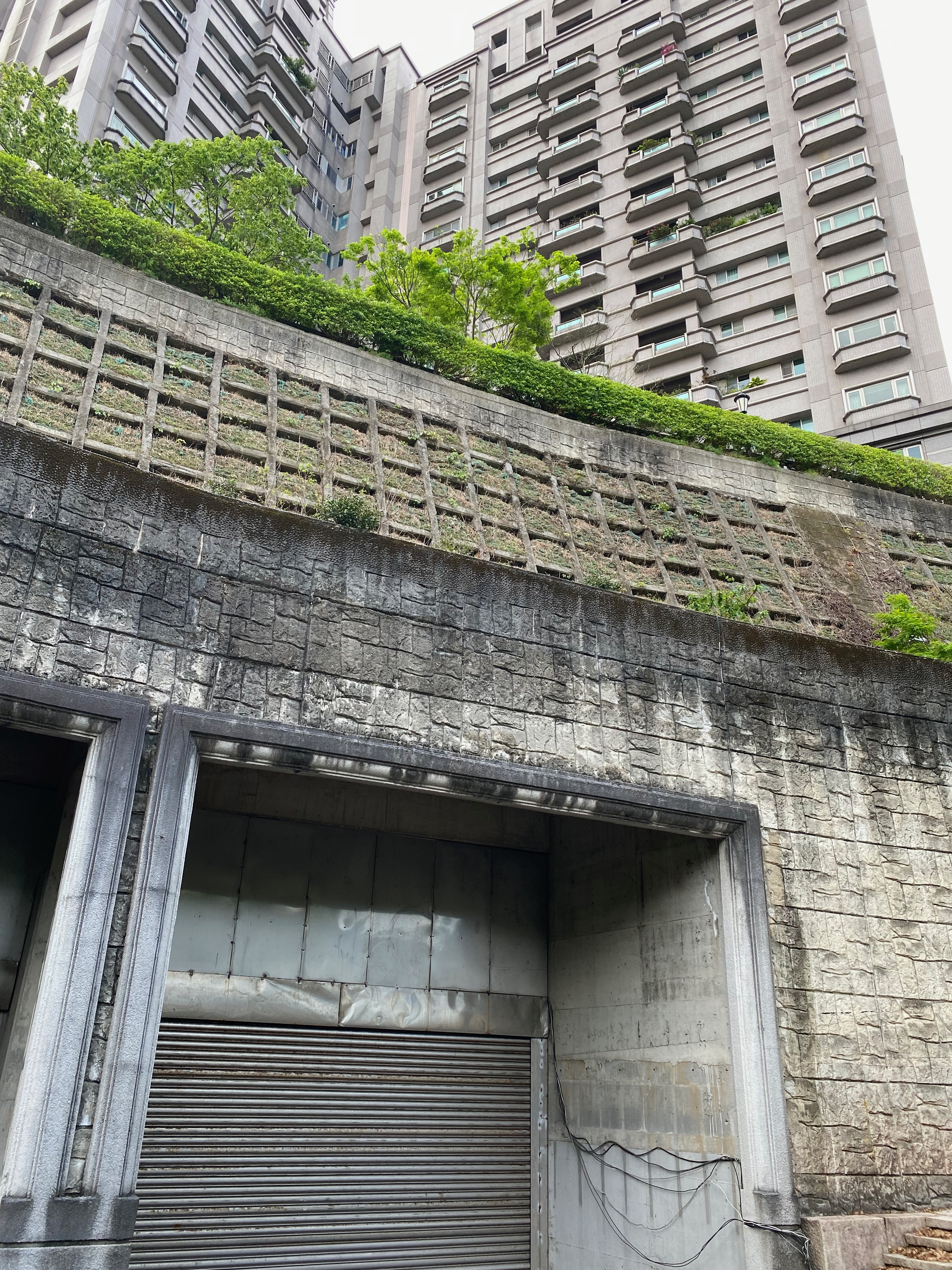
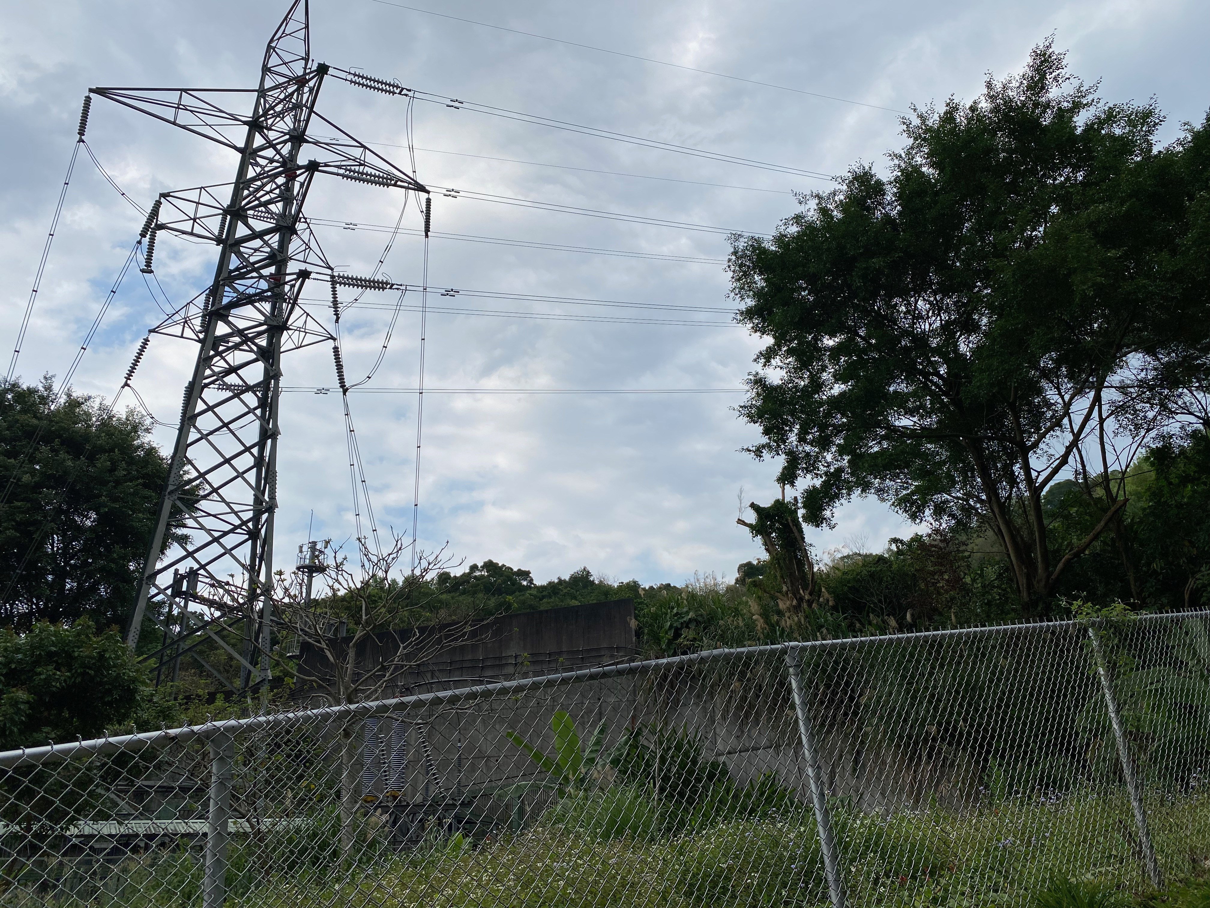
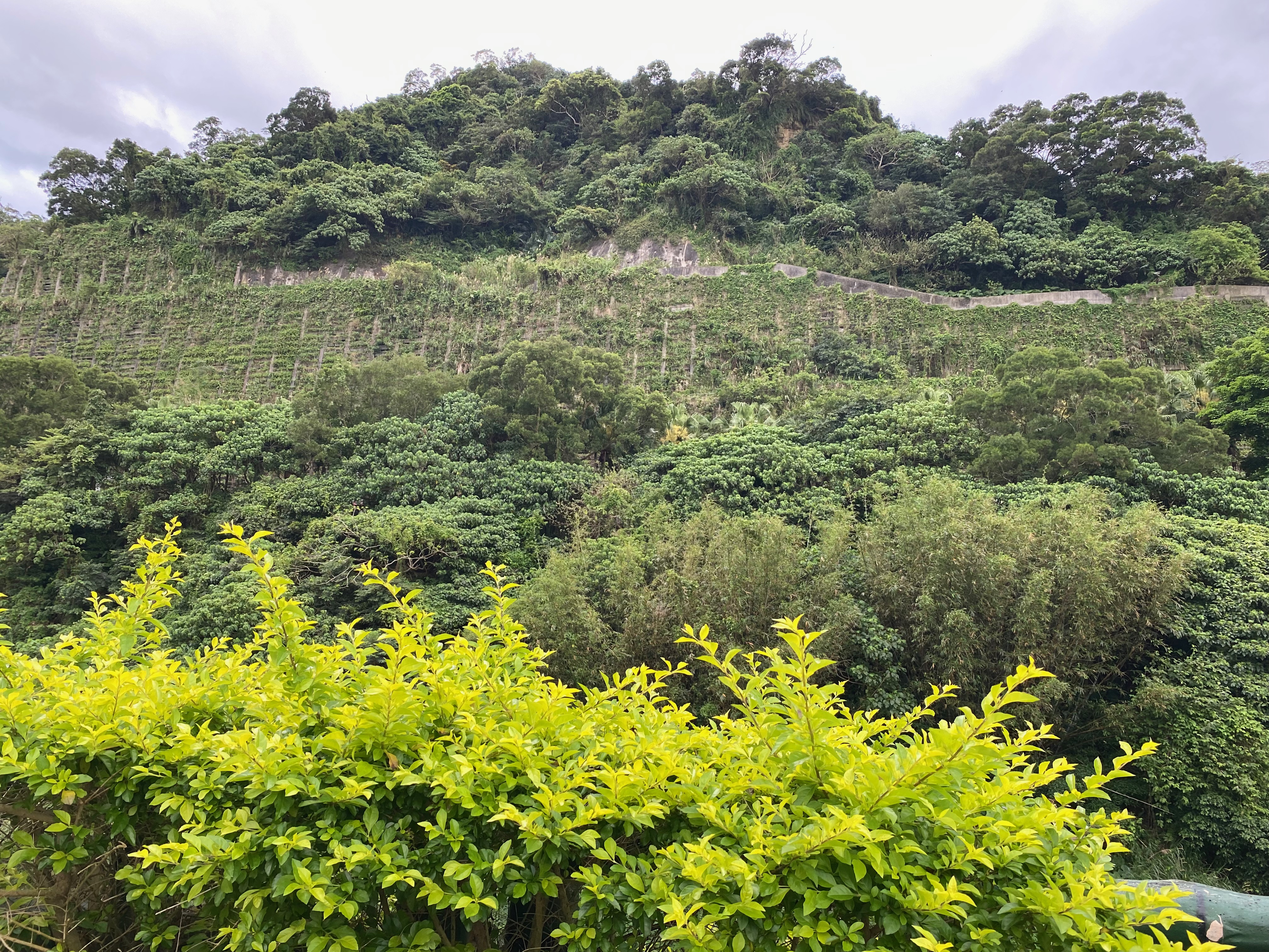
It is not clear from the photo, but this place looks like a dam or something like that.
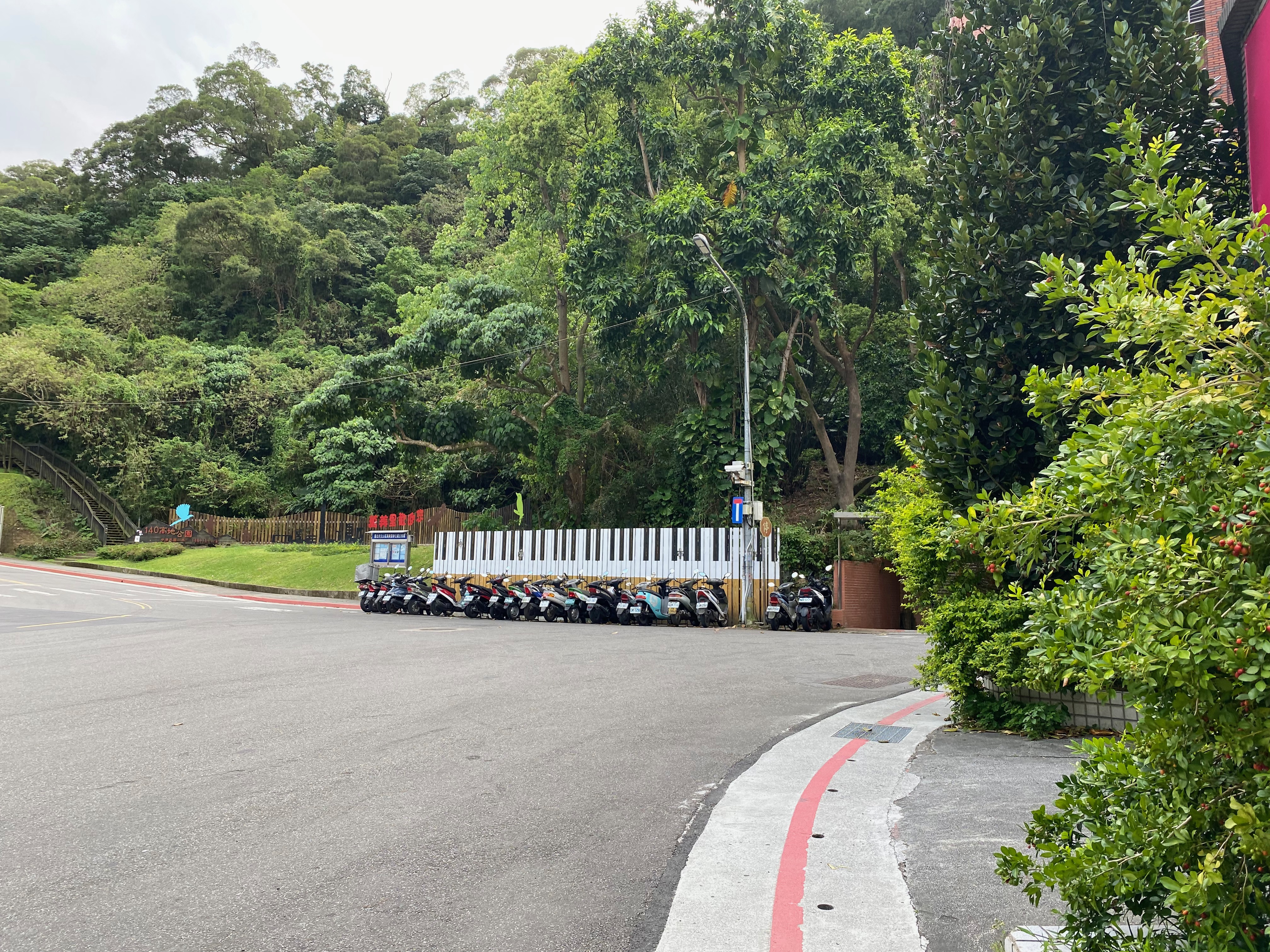
Piano, okay!
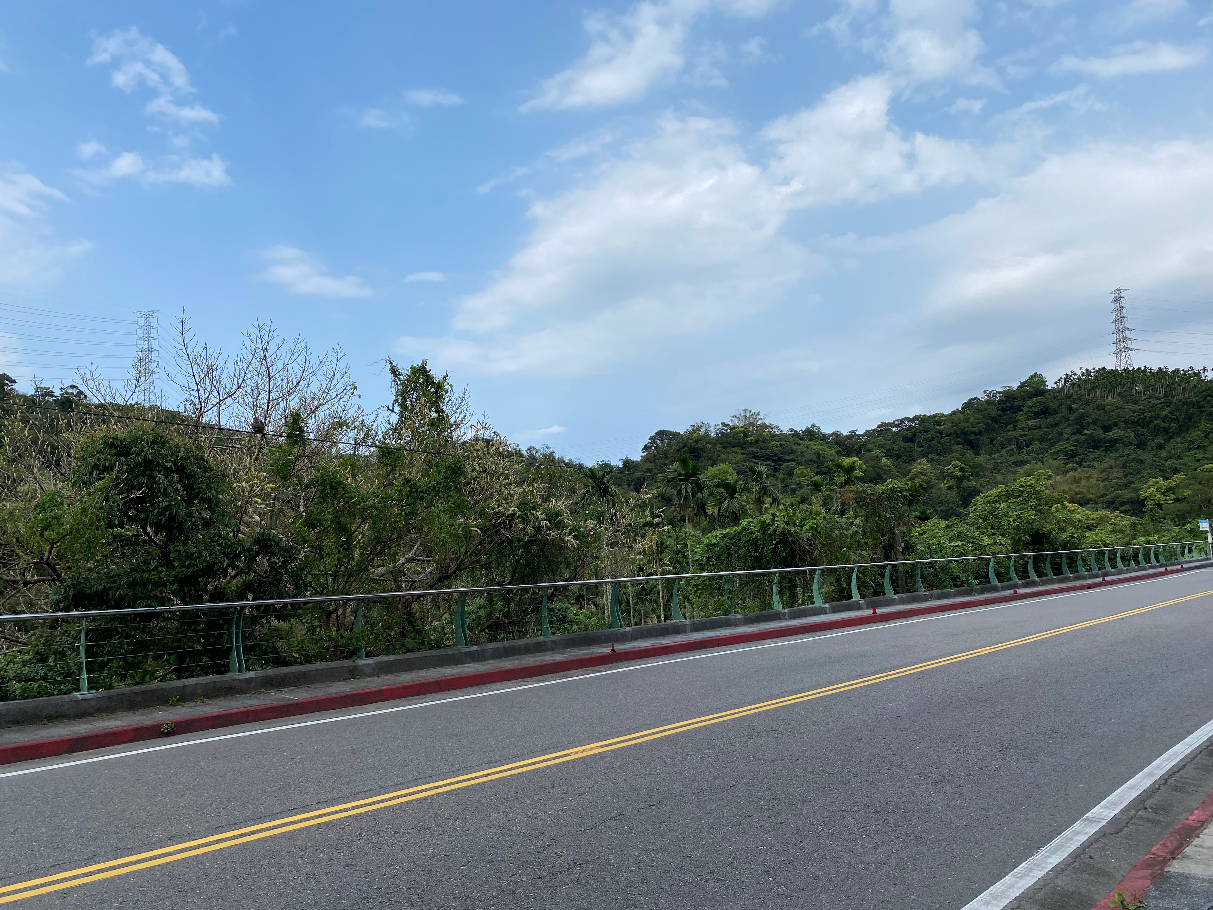
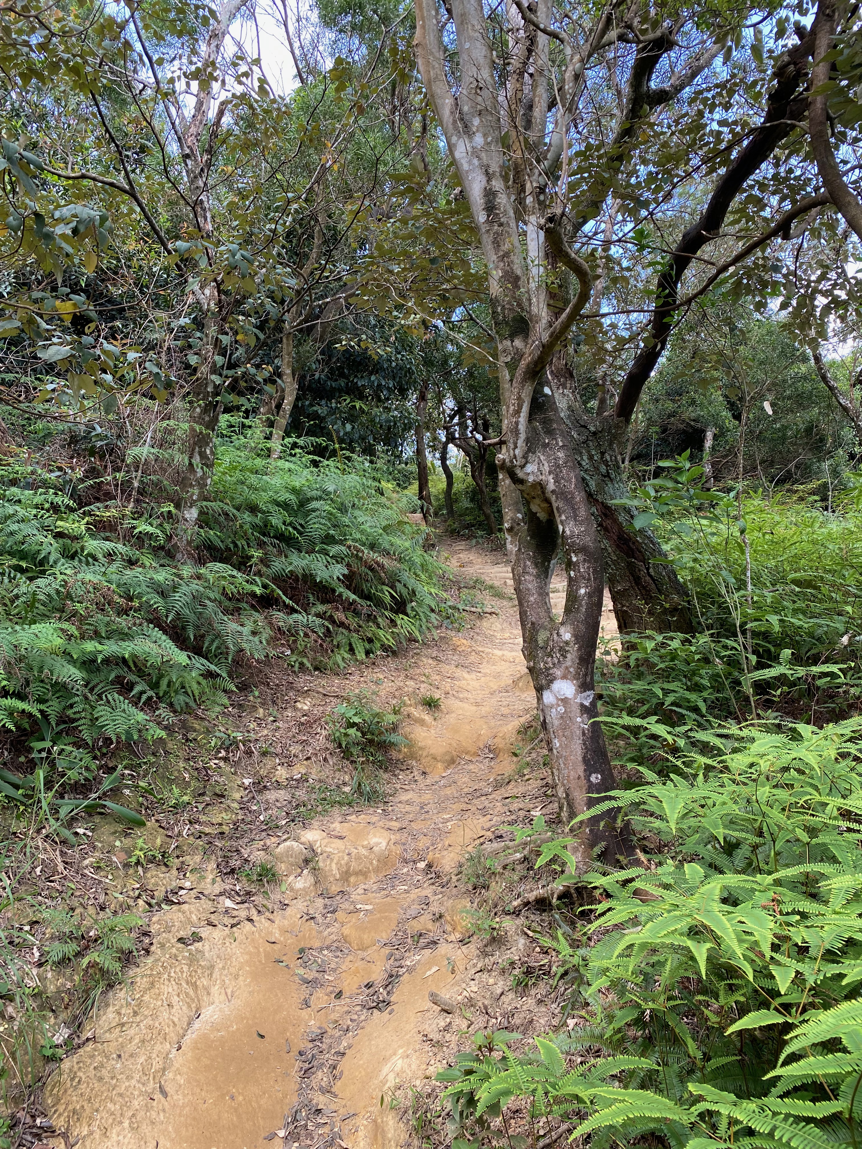
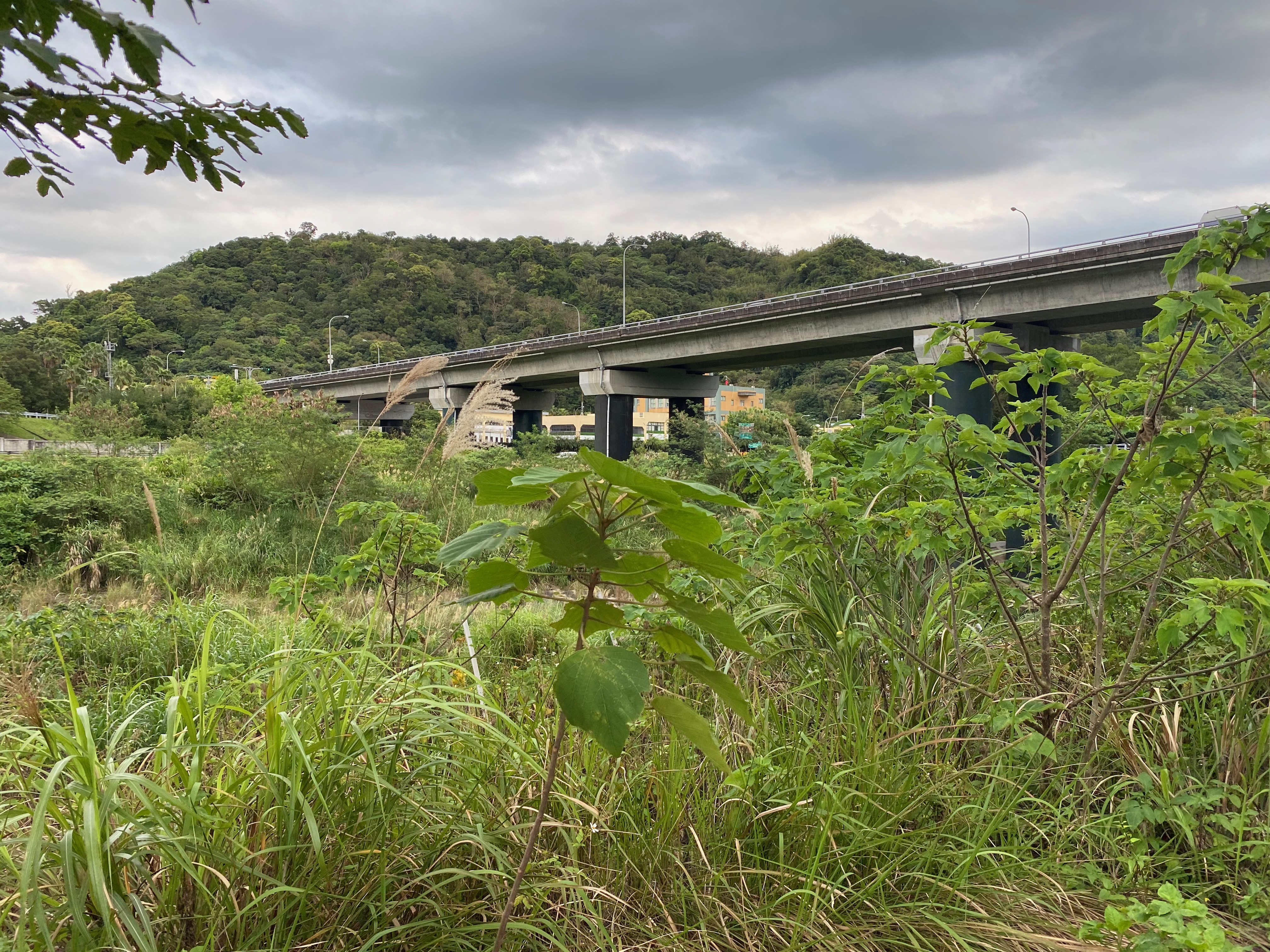
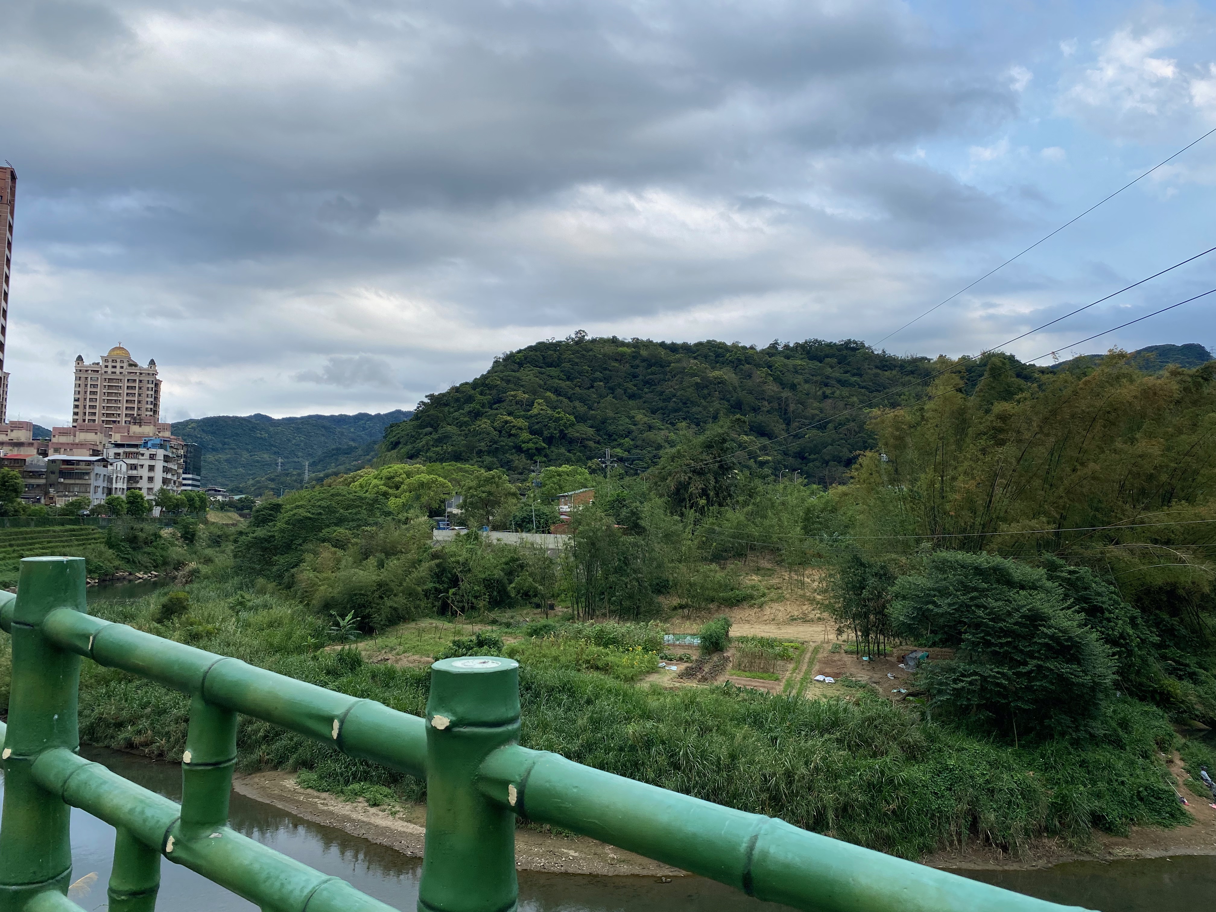
Then a long road followed.
Why even a road was so pleasing?
I should have gone to the other side of the road here, otherwise I would be stuck later. I shall keep this in mind the next time.
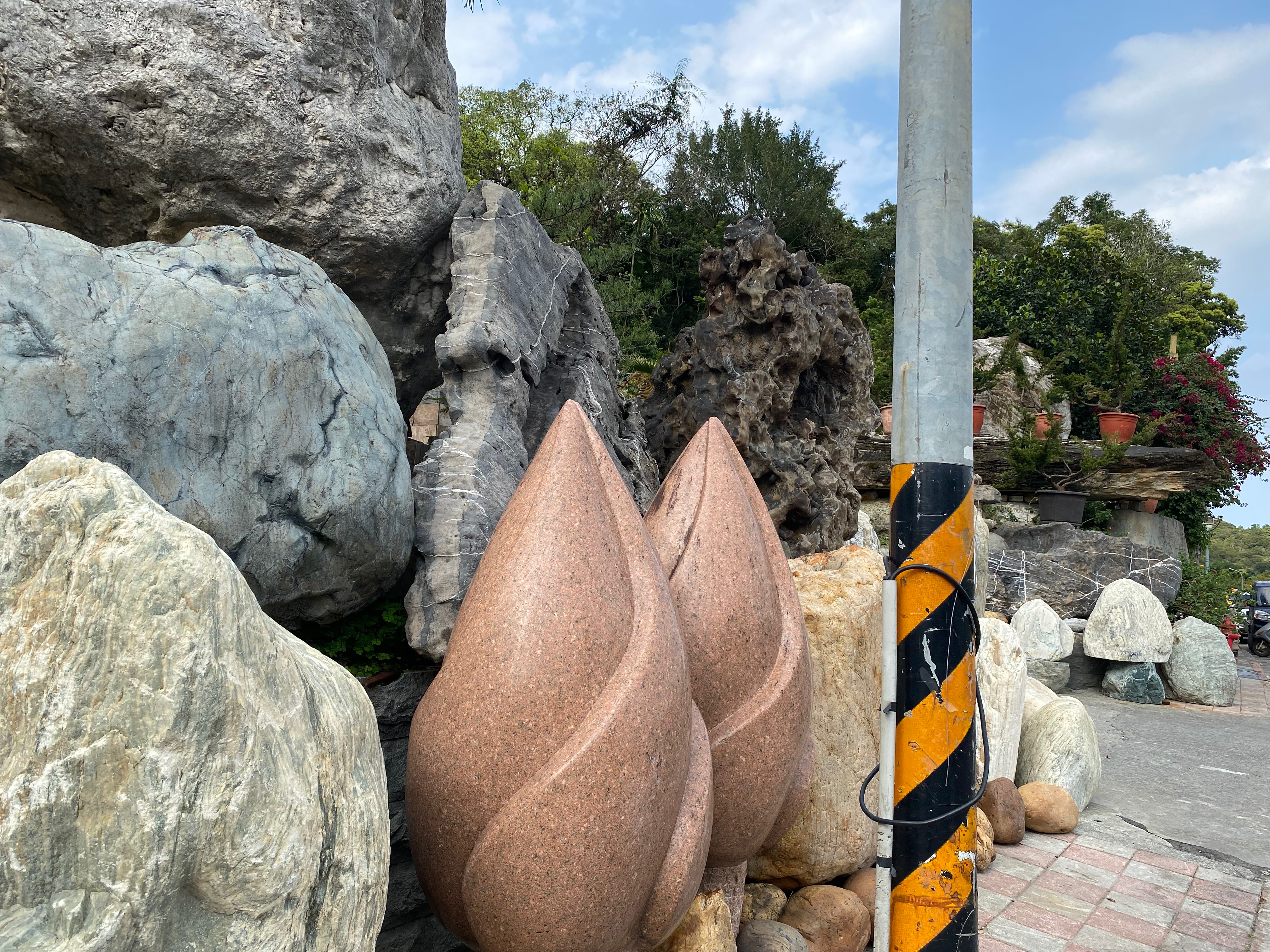
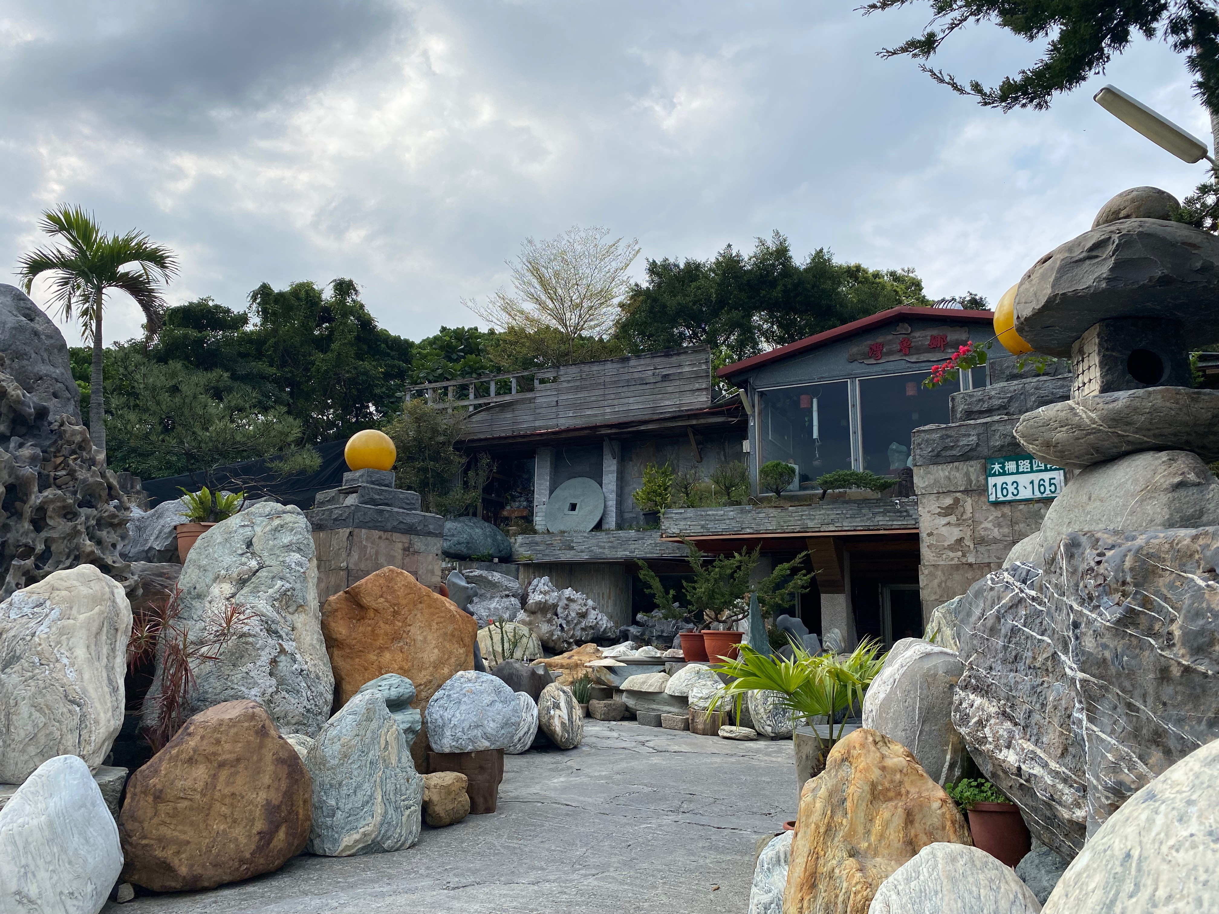
Weird stones. Wondering if they were for sale.
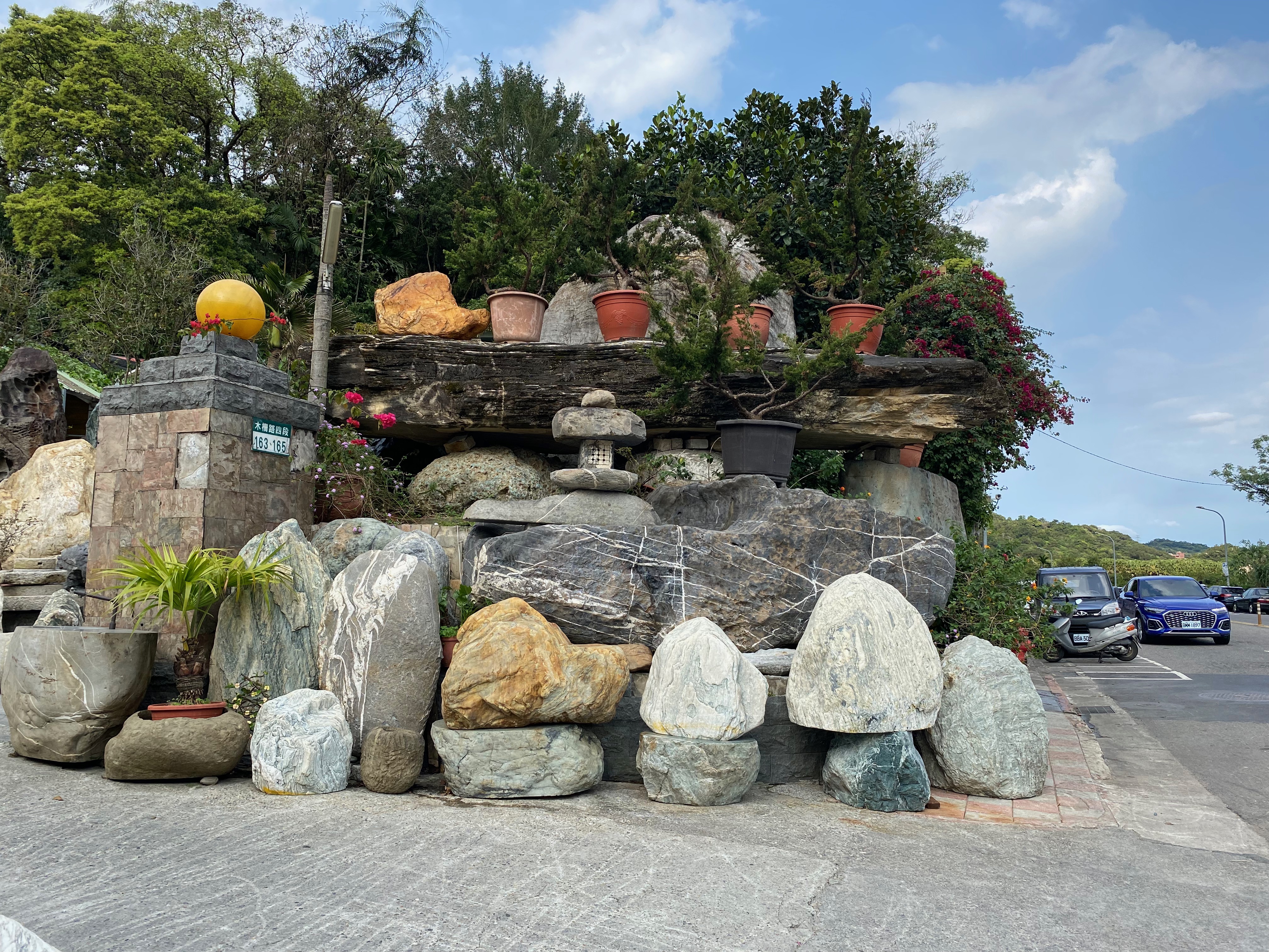
For the meaning of the joke, see 1.
It was "the third freeway" above. I thought the phone asked me to walk on the freeway at first, haha.
Then the phone told me to walk through a bridge. If my memory served me well, it should be Fu-He bridge.
(But it is not actually.)
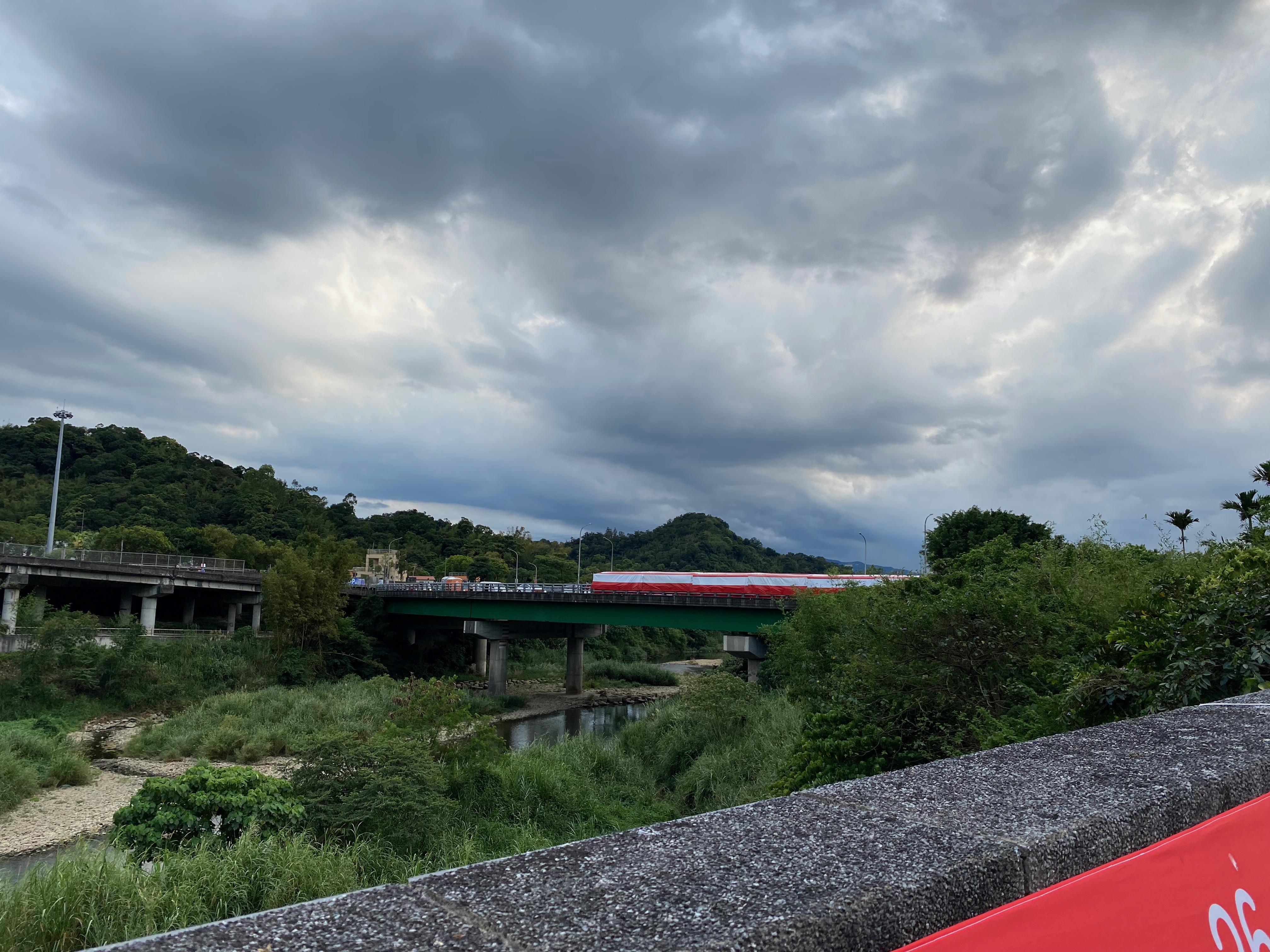
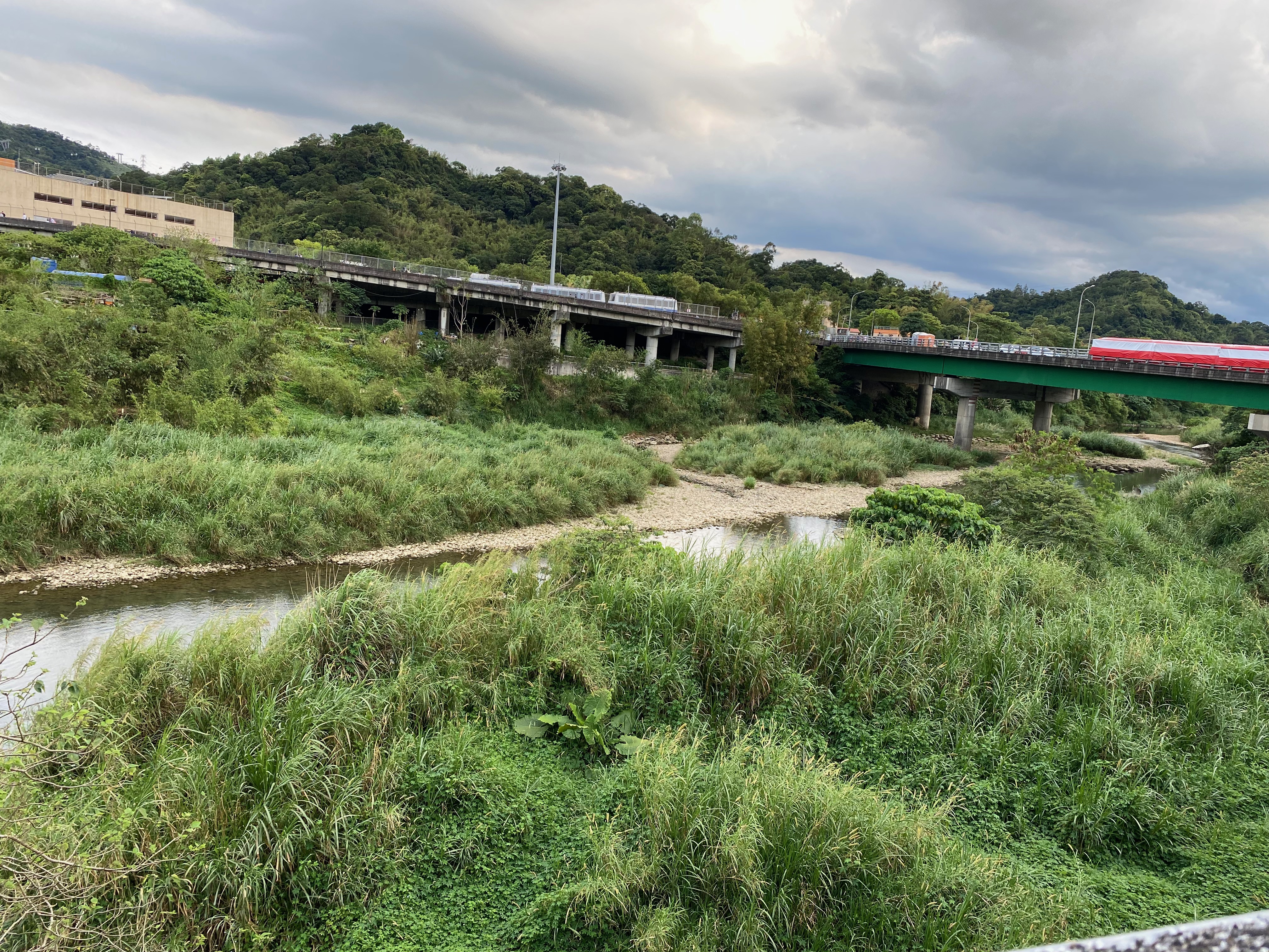
However, there were no sidewalks, so I had to choose a different route.
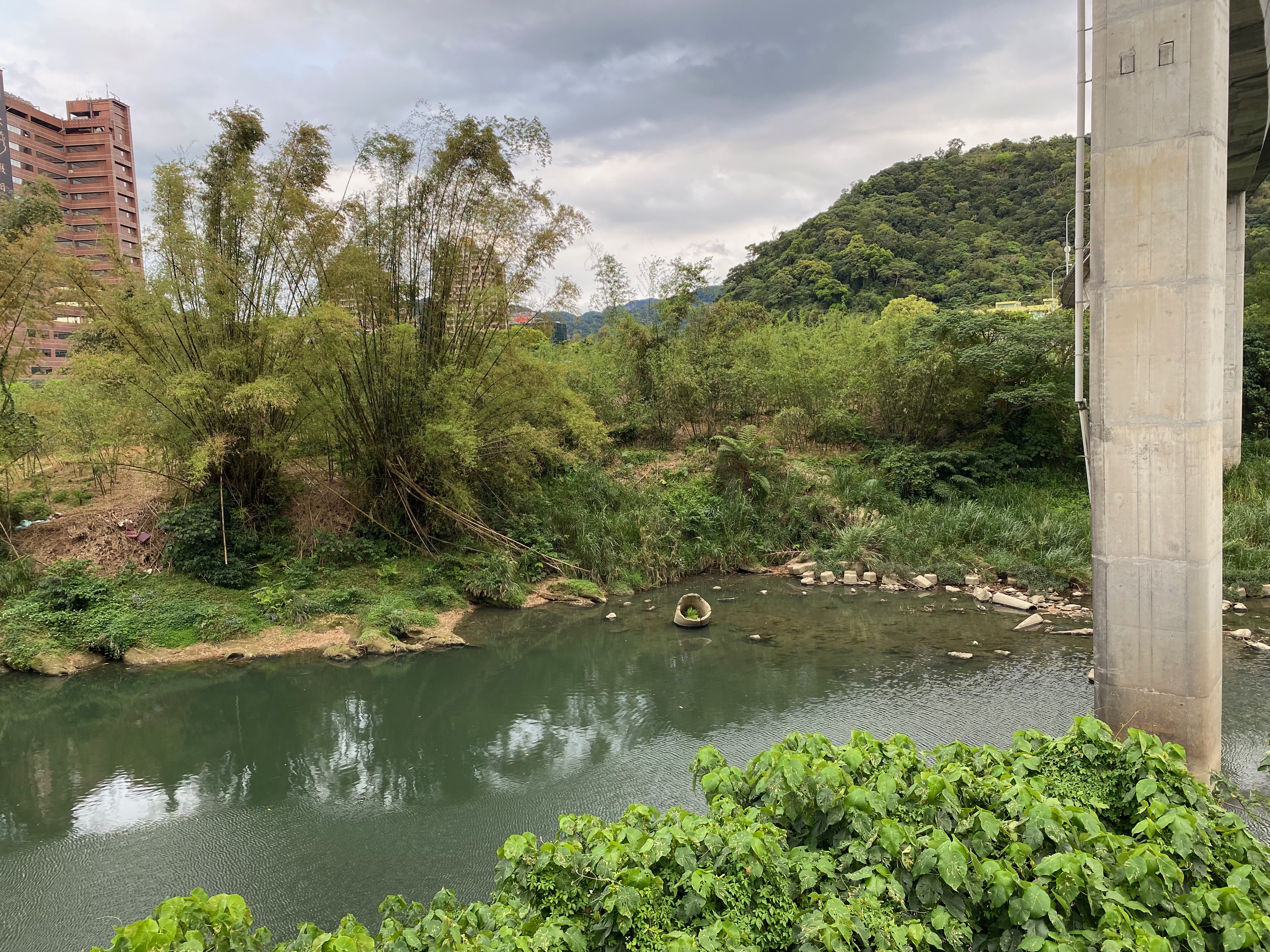
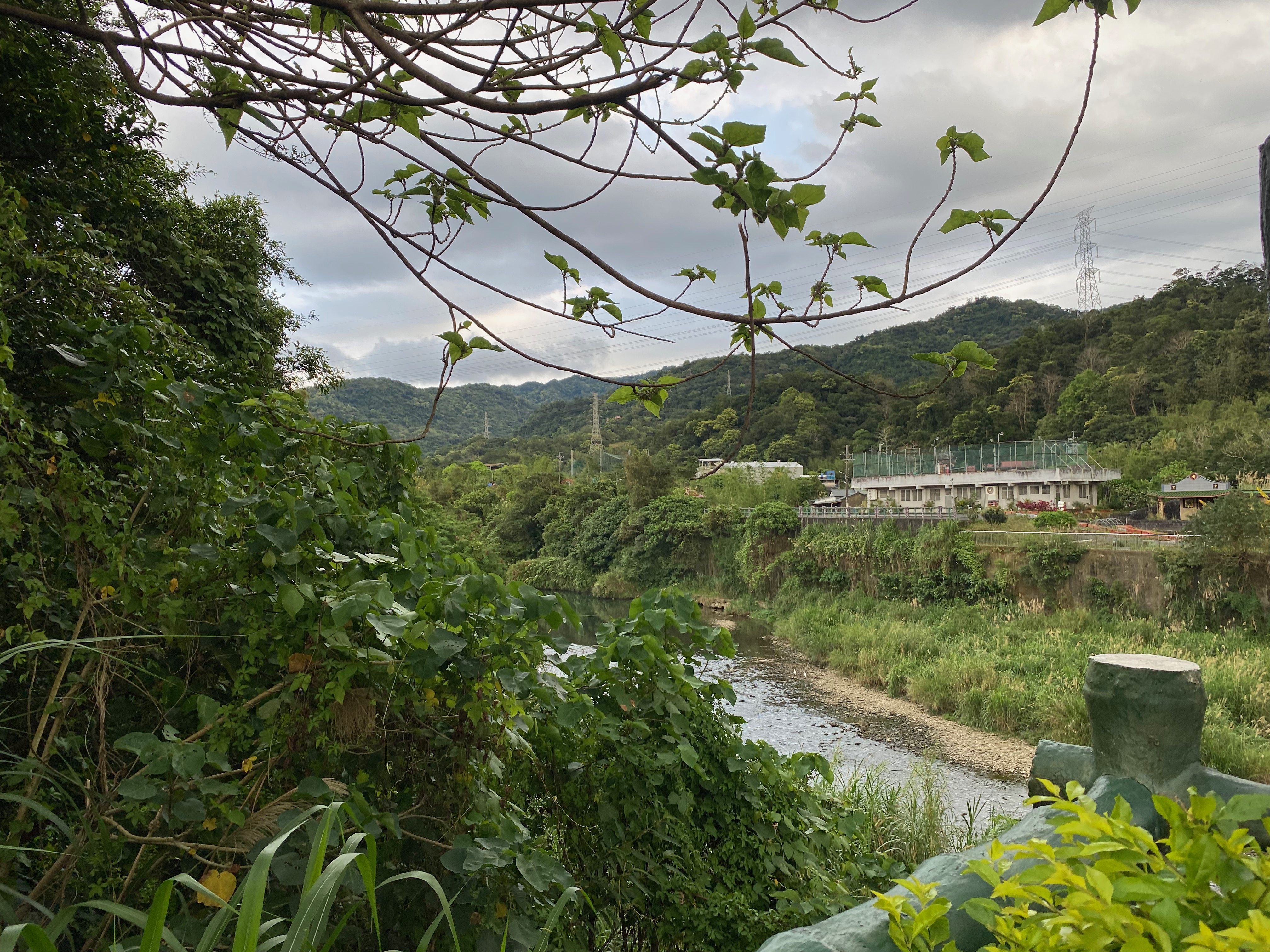
I could see such beautiful scenes thanks to choosing a different route, I guess.
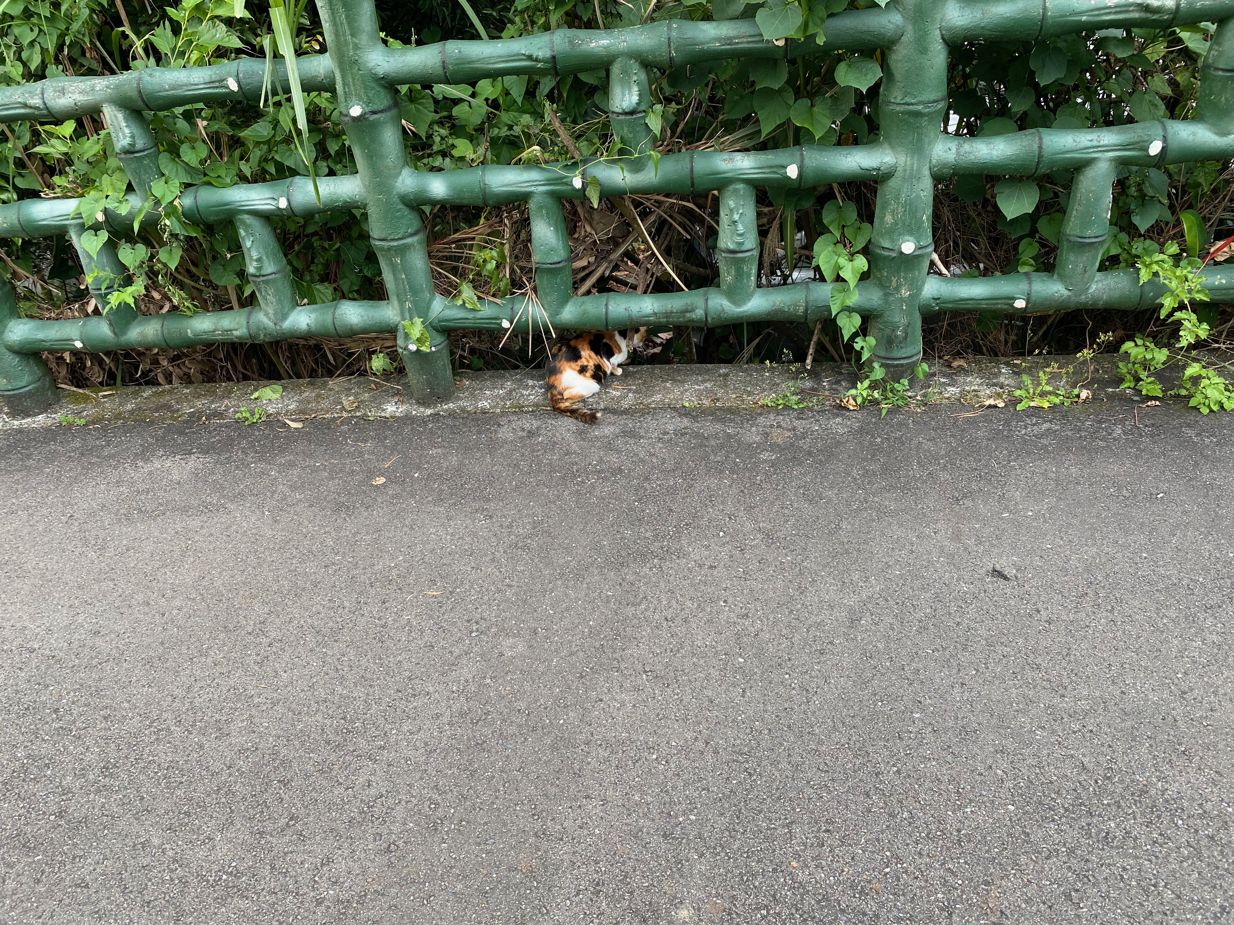
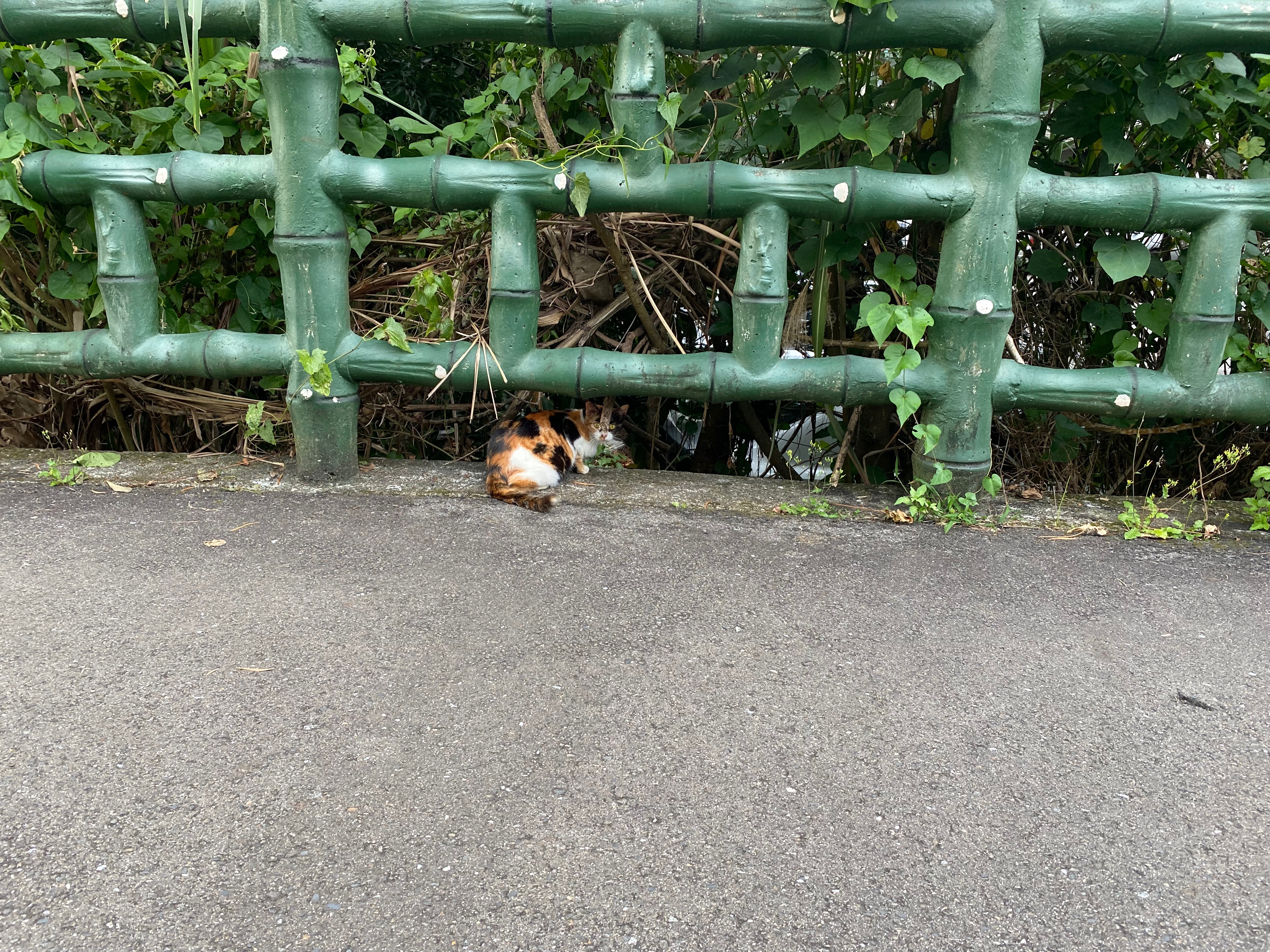
I came across some cute cats on the bridge.
There was a black one as well. But that one quickly jumped down the bridge and I could not take a photo.
Then I accidentally outstepped to the dead end. I could not help but to appreciate the views along the road and did not keep an eye on the correct paths.
Keep in mind that I shall walk off the bridge here!
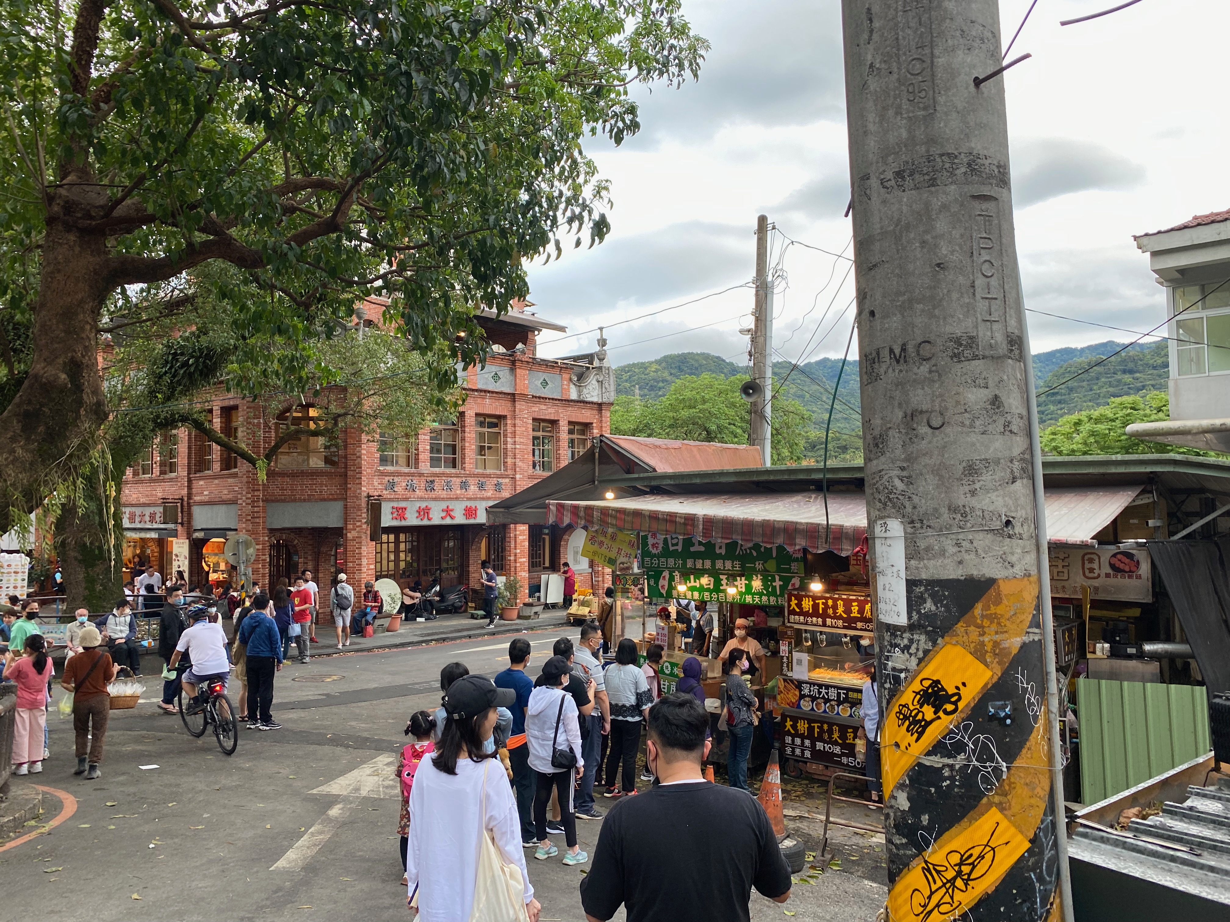
I finally reached the destination after three hours.
But I was actually not going to the Coffee shop. So I went back by bus right after I got there. Quite hilarious.
The route taken by the bus was similar to mine, but the bus went on the Interchange near the Xin-Yi highway, through the Xin-Hai tunnel, which does not allow humans to go through. That was why the bus only spent 30 minutes to go back.
Conclusion
It is kind of weird to have a conclusion for such a messy journal I guess. But anyways, it is quite fun to walk around on feet. I plan to go see other places in the future. I might share the records here when the time comes. :D
Footnotes:
For those who don't what I am talking about, Chinese characters used to be written from right to left, but they are usually written from left to right nowadays. And the picture displays some Chinese characters that are written from right to left. So I deliberately misinterpreted the ordering, and hence the joke.